Mesoamerica
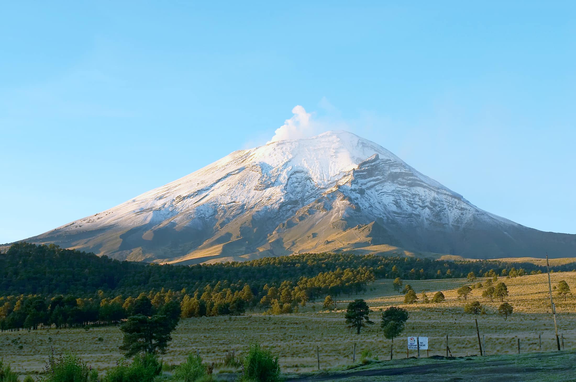
Volcanoes, cloud forest, karst, and Maya cities, stacked into short vertical distances.
- Expeditions
- 14
- Countries
- 7
- Days
- 6–10
- Inquire only
- 0
The ground
Mesoamerica compresses more variety into less distance than anywhere else we work. In Guatemala you can be at 1,530 m in Antigua and 3,976 m on Acatenango's summit ridge within a day. El Salvador holds a 2,381 m crater lake and a Pacific point break an hour apart. In the Yucatán the whole peninsula is one limestone slab with no surface rivers, so the water is underground and you swim in it. That compression is the region's defining feature and the reason itineraries here can be genuinely varied without long transfers.
It is also the archaeology. Copán holds the densest concentration of Maya hieroglyphic text anywhere and a near-intact earlier temple excavated by tunnel. Tikal's Temple IV rises about 65 m out of unbroken canopy. Uxmal and the Puuc cities ran on hand-cut cisterns because the water table there is too deep to reach. Walking these with a licensed archaeological guide at opening time, before the day groups, is a different experience from walking them at eleven.
The honest caveat is that much of this region is cheap and easy to travel independently, and several of our bands are a clear premium on that. Where that is true the trip page says so and explains what the premium buys — porters and four-season kit on a freezing volcano camp, capped-ratio licensed cave guides, a private boat rather than the public lancha, direct access to growers and makers rather than a shop.
What it asks of you
Vertical range in a single day
Coffee slopes to crater rim, reef to cloud forest. That means packing for two climates and expecting a genuinely cold night on the volcano camps — Acatenango sits near or below freezing at 3,600 m with windchill well past it.
Loose volcanic ground
Ash and scree above the treeline take back a third of every step. The Acatenango and Barú ascents are the hardest single days in this family, and Barú is a midnight-to-dawn push on a rough vehicle track with a genuinely weather-dependent payoff.
Water that closes without notice
Cave rivers in Belize's Cayo flood after heavy rain and access shuts as a safety decision. Cenotes have their own conduct rules, including sunscreen bans at most sites. Afternoon wind on Lake Atitlán makes crossings morning business.
Active volcanoes and monitoring agencies
Fuego's activity level is monitored and the closer ridge is restricted when it rises. Santa Ana's crater rim closes on gas. We follow those calls without negotiation, and every volcano itinerary carries an alternative day.
How the season works
Broadly November to April, which is the dry season for the highlands, the volcanoes, and the Maya lowlands. The Atlantic hurricane belt runs June to November with peak risk August to October, which sets the outer edge for anything on the Caribbean side. Two regional exceptions matter: Bocas del Toro has no dry season at all and its calmer windows are February–March and September–October, and El Salvador's Pacific surf season is March to October, which overlaps the rains. On the Mexican Caribbean coast the real calendar is sargassum, April to October, peaking June to August.
How we guide it
Licensed archaeological guides at the sites, licensed cave and volcano guides where regulation requires them and party ratios are capped by law, and community guides on the Pueblos Mancomunados and Rarámuri trail networks, which is the communities' rule and how those enterprises fund themselves. Porters and four-season equipment on the cold volcano camps. Private boats on the lakes so the afternoon wind does not set your day.
Fitness bar
The widest spread in the catalog: Easy on the Yucatán, Belize reef, and Suchitlán, up to Challenging on Acatenango, Copper Canyon's rim-to-river days, and Chirripó's 2,000 m ascent. Read the fitness bar on the individual page rather than the region.
What to bring
Two climates in one bag. Broken-in boots with grip for volcanic scree and wet limestone, a warm layer for the high camps, and water shoes for the cave rivers. Photography is prohibited inside Actun Tunichil Muknal, so leave the camera behind that day.
14 expeditions on this ground
Filter these →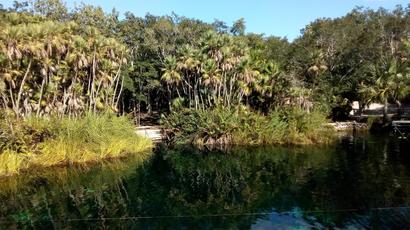
Mexico
Yucatán Cenote Coast
Riviera Maya & Puuc (Yucatán / Quintana Roo)
Cool limestone pools open beneath jungle canopy; light shafts cut the water like columns. Evenings move from reef swim to limestone ruins warm with stone.
- Duration
- 8 days
- Effort
- Easy
- Window
- Nov–Apr
$5,200–$7,800
Detail →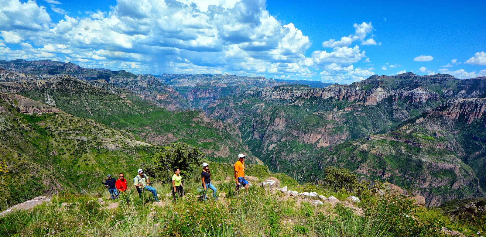
Mexico
Copper Canyon Traverse
Sierra Tarahumara / Barrancas del Cobre (Chihuahua)
Several gorges here run deeper than the Grand Canyon, folded into pine and cliff. Footpaths follow Rarámuri routes where the rim drops away without warning.
- Duration
- 10 days
- Effort
- Challenging
- Window
- Oct–Apr
$6,500–$9,200
Detail →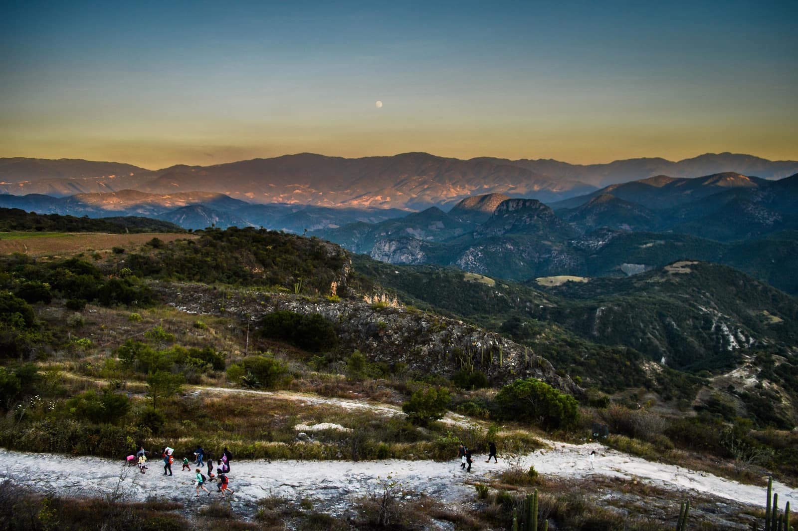
Mexico
Oaxaca Highland Ascent
Sierra Norte & Central Valleys
Cloud forest trails link Zapotec villages where smoke from cooking fires rises at dusk. Ridges open onto valleys quilted with maize and agave.
- Duration
- 8 days
- Effort
- Moderate
- Window
- Oct–Mar
$4,800–$7,200
Detail →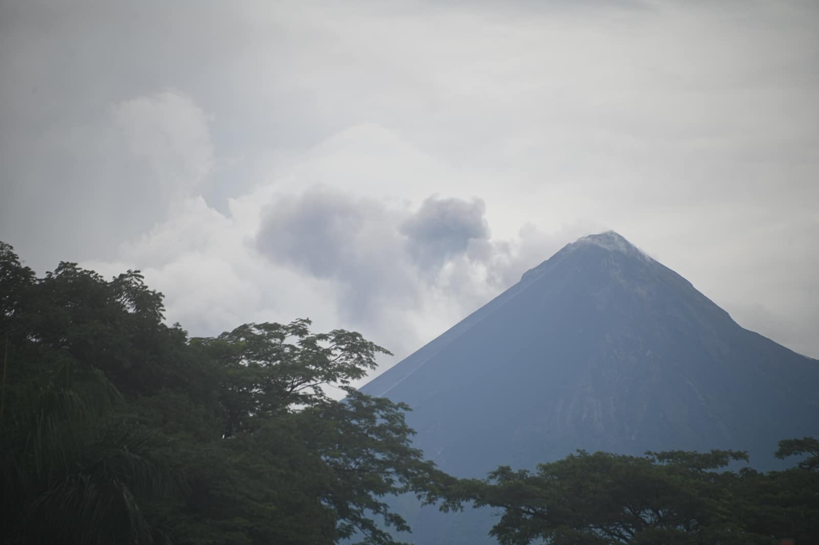
Guatemala
Antigua Volcano Circuit
Antigua & Western Highlands
Ash underfoot on Acatenango as Fuego throws orange into the night. Dawn reveals a ring of cones above coffee slopes and colonial rooftops.
- Duration
- 9 days
- Effort
- Challenging
- Window
- Nov–Apr
$5,500–$8,200
Detail →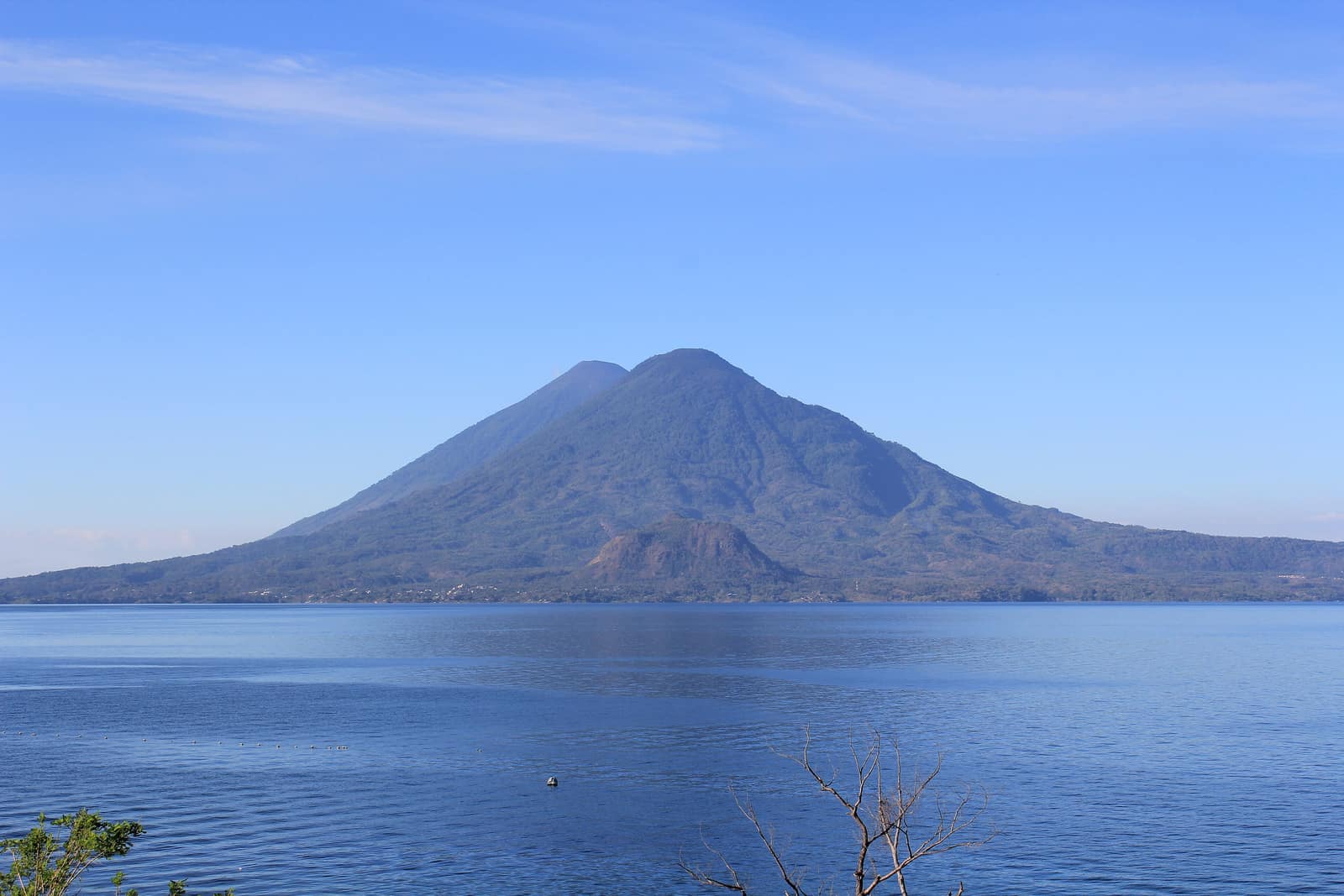
Guatemala
Atitlán Highland Traverse
Lake Atitlán & Sololá
Maya trails stitch lakeside towns beneath three volcanoes. Morning mist lifts off deep water while markets fill with color and smoke.
- Duration
- 8 days
- Effort
- Moderate
- Window
- Nov–May
$4,900–$7,400
Detail →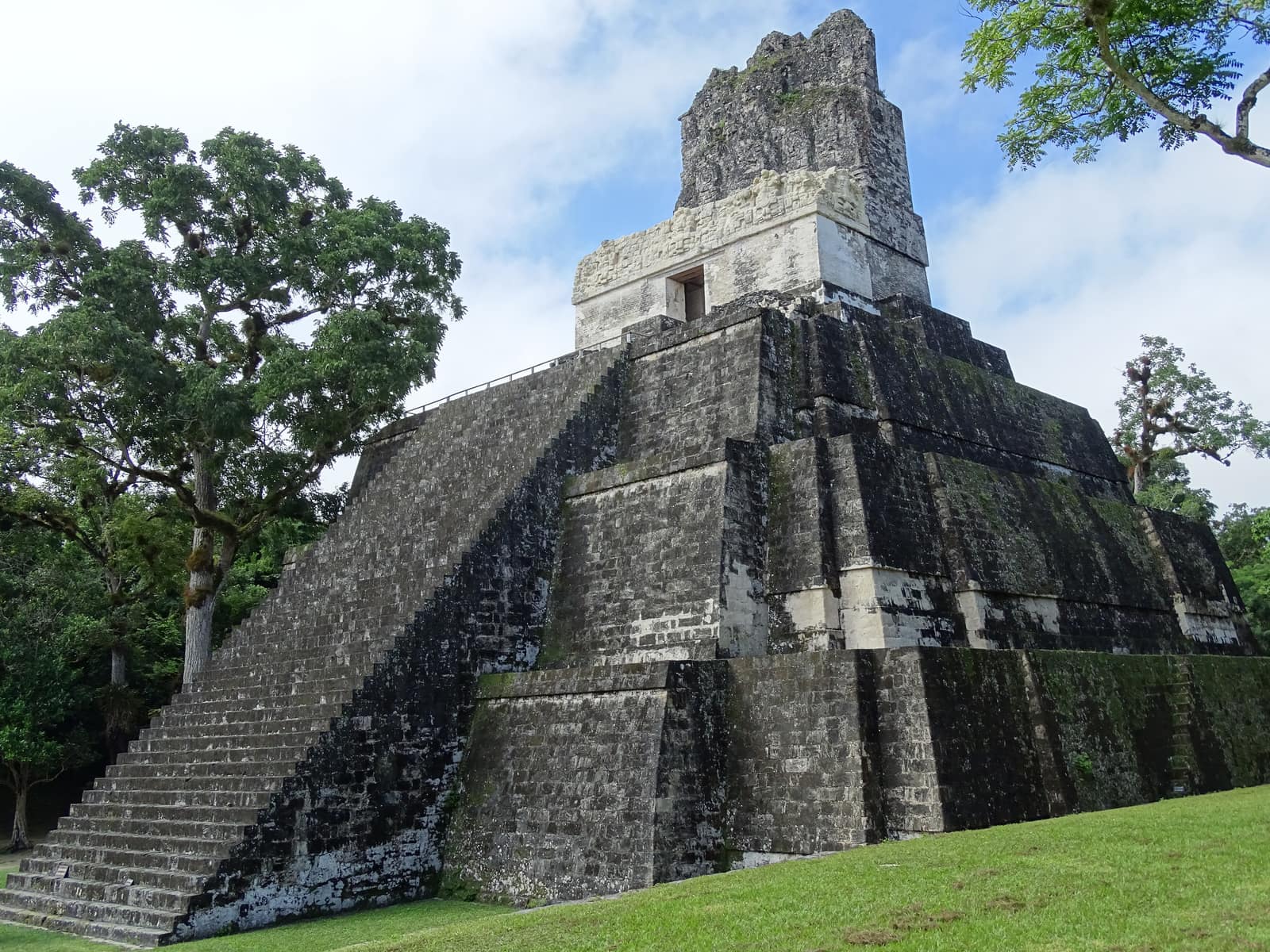
Guatemala
Petén Jungle River Circuit
Petén & Tikal Corridor
Paddle blackwater rivers toward temples rising through canopy. Howler calls roll across plazas where roots pry limestone apart.
- Duration
- 10 days
- Effort
- Moderate
- Window
- Dec–Apr
$6,200–$9,100
Detail →
Belize
Cockscomb Jaguar Traverse
Cockscomb Basin & Maya Mountains
Walk the trails of Cockscomb Basin—the world's first jaguar preserve—where streams cut granite and birdsong never stops. Jaguar encounters are rare; the forest and night sounds are the constant.
- Duration
- 7 days
- Effort
- Moderate
- Window
- Dec–Apr
$5,100–$7,600
Detail →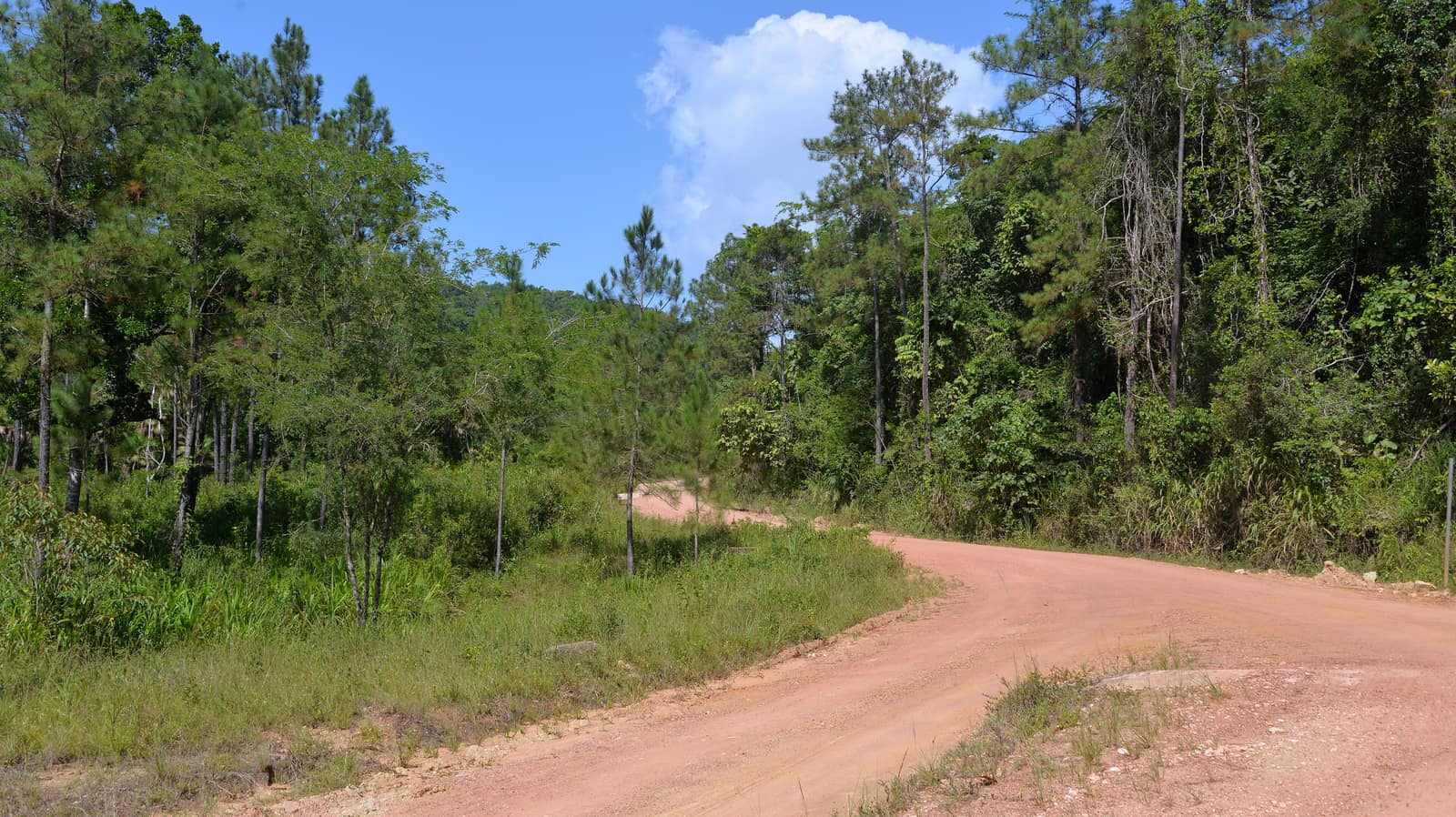
Belize
Belize Cave River Crossing
Cayo & Mountain Pine Ridge
Float into limestone chambers where Maya ceramics still rest in niches. Above ground, pine ridges and waterfalls break the green.
- Duration
- 8 days
- Effort
- Moderate
- Window
- Nov–May
$5,400–$8,100
Detail →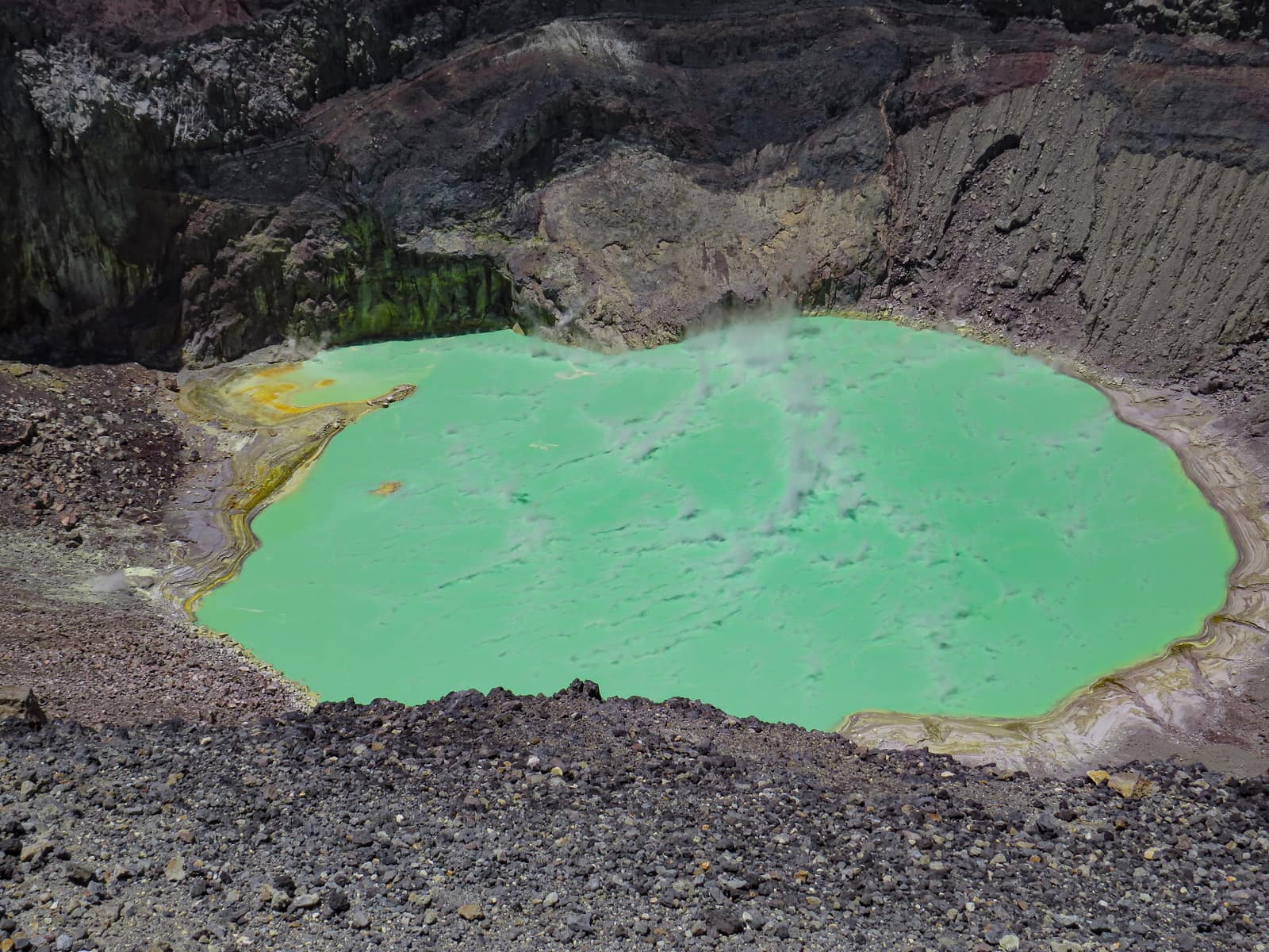
El Salvador
Santa Ana Volcano Ascent
Volcán Santa Ana (Ilamatepec) & Cordillera de Apaneca
Crater lakes hold turquoise against black rock while coffee farms terrace the lower slopes. Ridges smell of ash and wet earth after rain.
- Duration
- 7 days
- Effort
- Moderate
- Window
- Nov–Apr
$4,500–$6,800
Detail →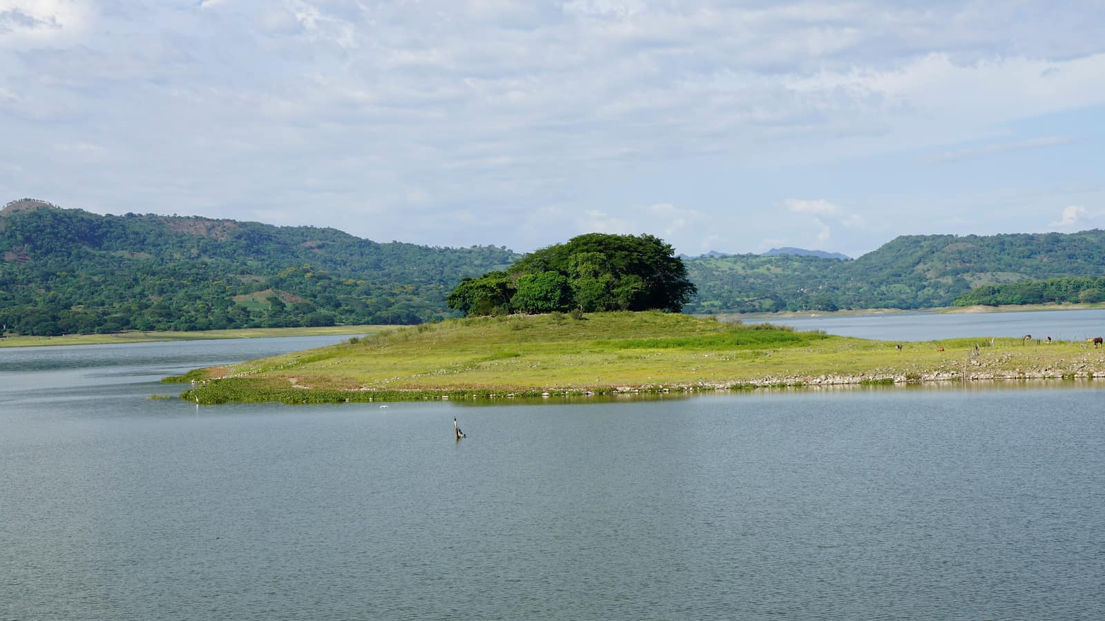
El Salvador
Suchitlán Lake Highland Circuit
Lago Suchitlán (Embalse Cerrón Grande) & Cerro Verde
Boat through drowned valleys where herons work the shallows. Forest trails climb to lookouts over three volcanoes in a single frame.
- Duration
- 6 days
- Effort
- Easy
- Window
- Nov–Mar
$4,200–$6,500
Detail →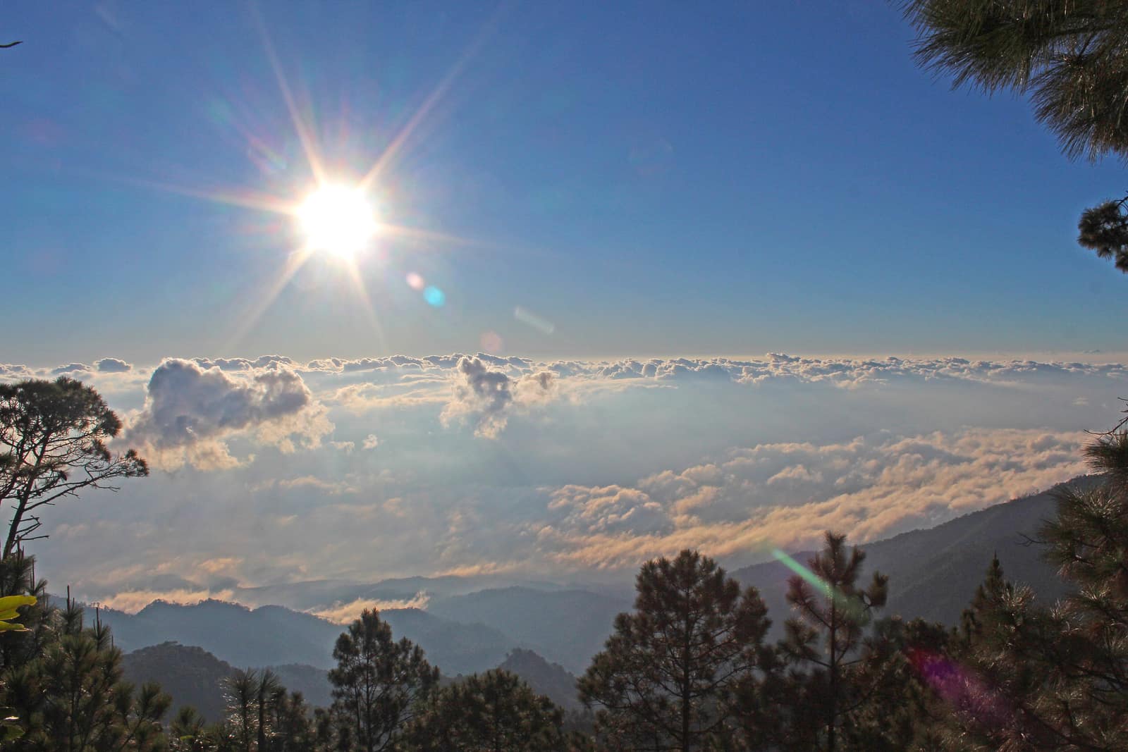
Honduras
Copán Highland Traverse
Copán Ruinas & western highlands (Honduras)
Maya stelae stand in mist among macaws. Trails climb into pine highland where coffee and cloud forest trade places with altitude.
- Duration
- 8 days
- Effort
- Moderate
- Window
- Nov–Apr
$4,800–$7,100
Detail →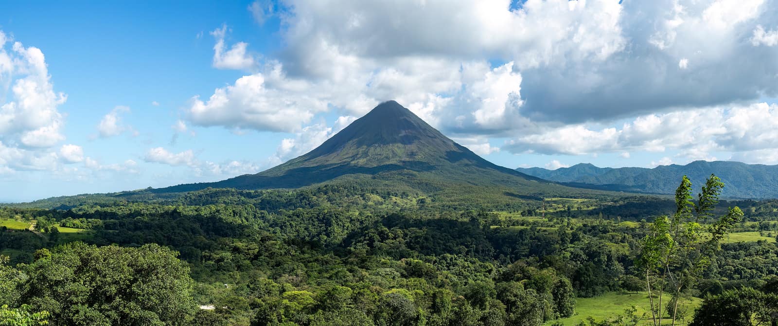
Costa Rica
Arenal & Monteverde Cloud Circuit
Arenal & Monteverde
Old lava fields and hanging bridges under Arenal's cone; Monteverde cloud forest for quetzals. Hot springs steam after rain—no crater summit.
- Duration
- 8 days
- Effort
- Moderate
- Window
- Dec–Apr
$5,800–$8,600
Detail →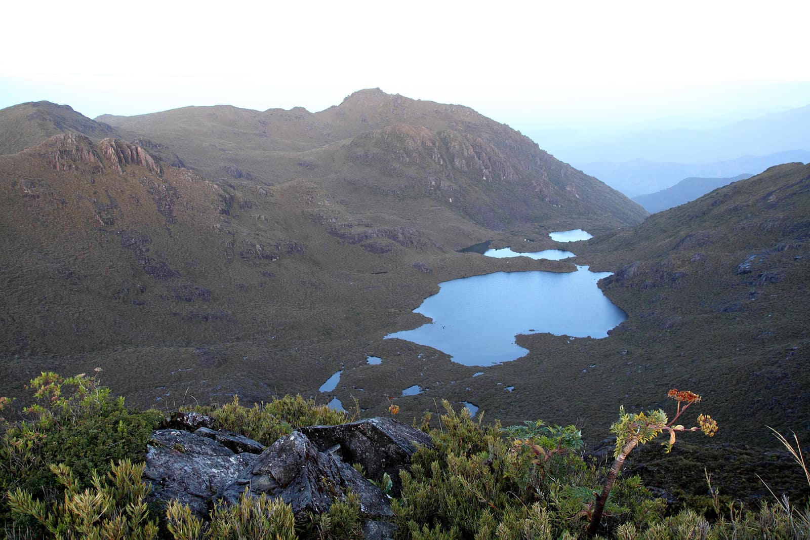
Costa Rica
Chirripó Summit Ascent
Talamanca Range
Climb from oak forest into páramo where frost holds the summit lakes. On a clear dawn, both oceans show as thin blue lines.
- Duration
- 6 days
- Effort
- Challenging
- Window
- Dec–Apr
$4,900–$7,300
Detail →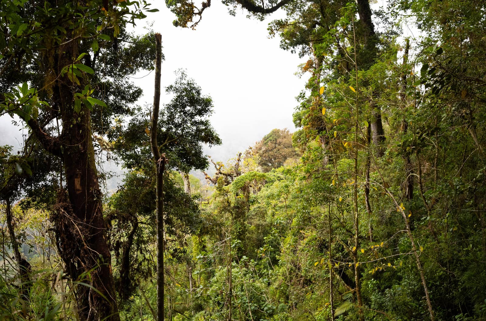
Panama
Chiriquí Highland Ascent
Boquete & Volcán Barú
Coffee slopes climb toward Barú's summit ridge. Quetzals nest in oak; on clear mornings both coasts appear from the crater rim.
- Duration
- 7 days
- Effort
- Moderate
- Window
- Dec–Apr
$5,200–$7,800
Detail →