Colombia
The world's highest coastal mountain range, a pre-Inca city in the jungle, and wax palms at 2,400 m.
4 expeditions across coasts & islands, high andes, amazon & rainforest, 1 of which is inquire-only. Windows on offer: Dec–Mar · Year-round · By arrangement.
- Expeditions
- 4
- Open to plan
- 3
- Inquire only
- 1
- Days
- 7–11
What Colombia is actually good at
The Sierra Nevada de Santa Marta is the defining fact: Pico Cristóbal Colón and Pico Simón Bolívar reach about 5,700 m roughly 42 km from the Caribbean, which makes it the highest coastal range in the world. You can see snow and palm from one spot. You cannot walk up it. The páramo, high lagoons, and nevados are closed to tourism by the park authority and by the Arhuaco, Kogui, Wiwa, and Kankuamo authorities who hold the range as sacred ground.
What is open is extraordinary on its own terms. Teyuna — Ciudad Perdida — was built from around the 8th century by the Tairona, several hundred years before Machu Picchu, and is reached only on foot up the Buritaca. In the coffee belt, the Valle de Cocora holds the Quindío wax palm, the tallest palm in the world at up to 60 m, standing out of cloud on open pasture at 2,400 m where palms have no business being.
Access and permits
Country-level constraints that decide whether a date is possible.
- There is no permitted route to the Sierra Nevada summits. Any operator selling the ascent is selling a permission that does not exist.
- Teyuna can only be entered with an operator authorised by ICANH and the communities. The trail is unmarked and guides are mandatory.
- The site closes annually for indigenous ceremonies and ecosystem recovery — recently in October, though the month has shifted between September and October, and the dates are set by the Mamos.
- Los Nevados access above the coffee belt has been restricted repeatedly because of activity at Nevado del Ruiz, so we do not build itineraries around it.
The Colombia catalog
Colombia
Sierra Nevada Caribbean Arc
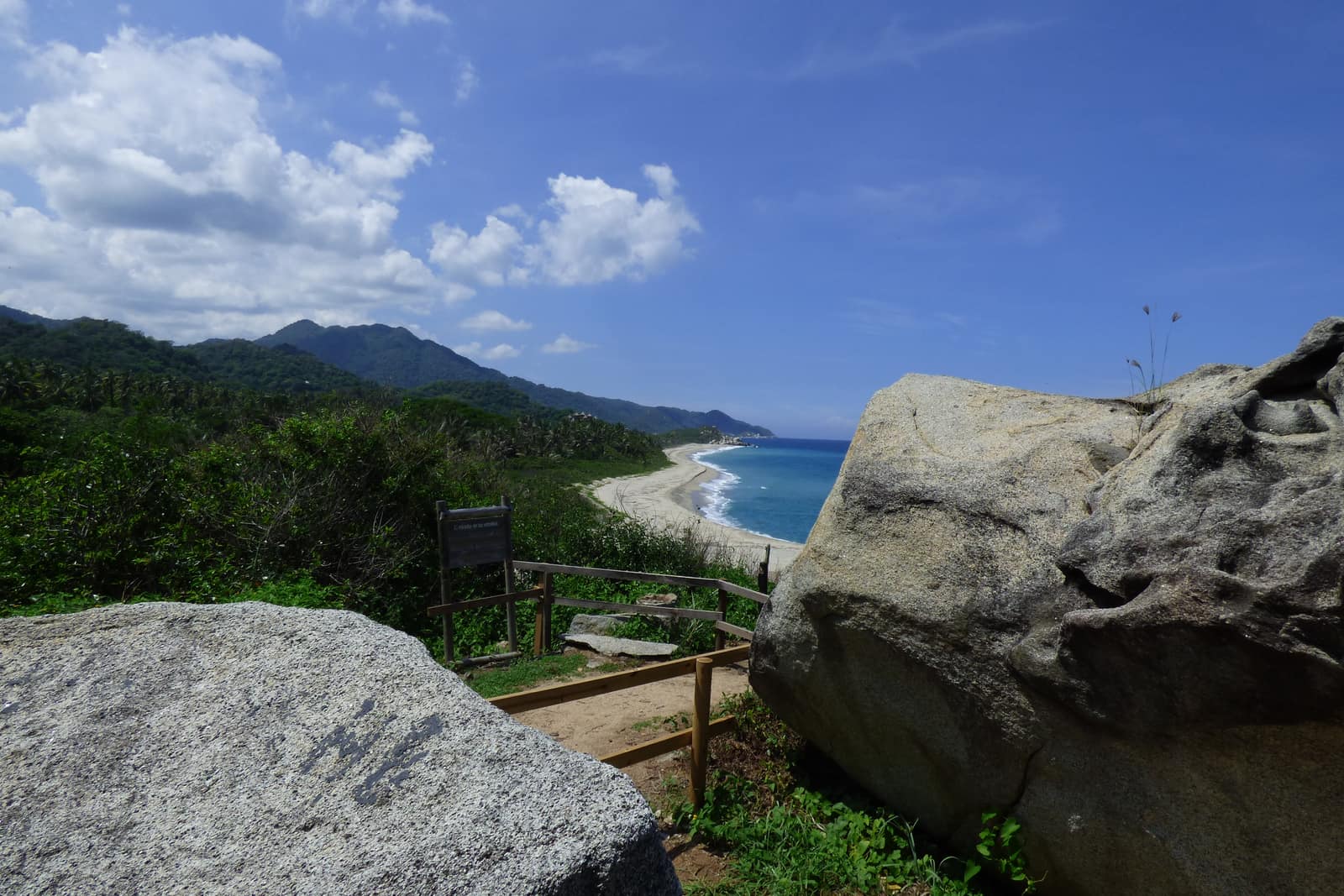
Sierra Nevada de Santa Marta & Caribbean Coast
Trade winds meet cloud forest on the world's highest coastal range. Authorized mid-elevation trails and Tayrona/Ciudad Perdida corridors—páramo and nevados remain closed sacred territory.
- Duration
- 11 days
- Effort
- Challenging
- Window
- Dec–Mar
$8,500–$12,000
Detail →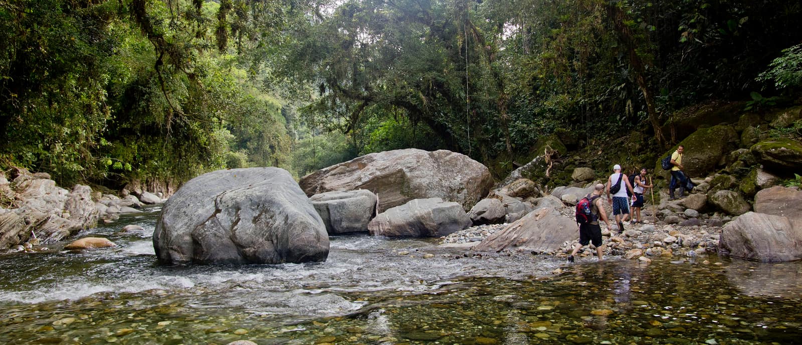
Colombia
Lost City Sierra Ascent
Sierra Nevada de Santa Marta
Multi-day trek to Ciudad Perdida through river crossings and jungle stairs. Stone terraces emerge where the forest breaks.
- Duration
- 7 days
- Effort
- Challenging
- Window
- Dec–Mar
$5,200–$6,800
Detail →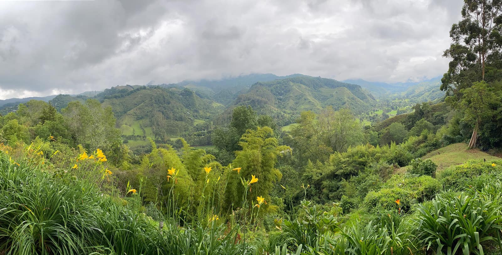
Colombia
Coffee Triangle Highland Circuit
Eje Cafetero & Valle de Cocora (Quindío)
Wax palms rise through cloud in Cocora Valley. Fincas open their drying yards; trails link ridgelines above green valleys.
- Duration
- 8 days
- Effort
- Moderate
- Window
- Year-round
$5,100–$7,800
Detail →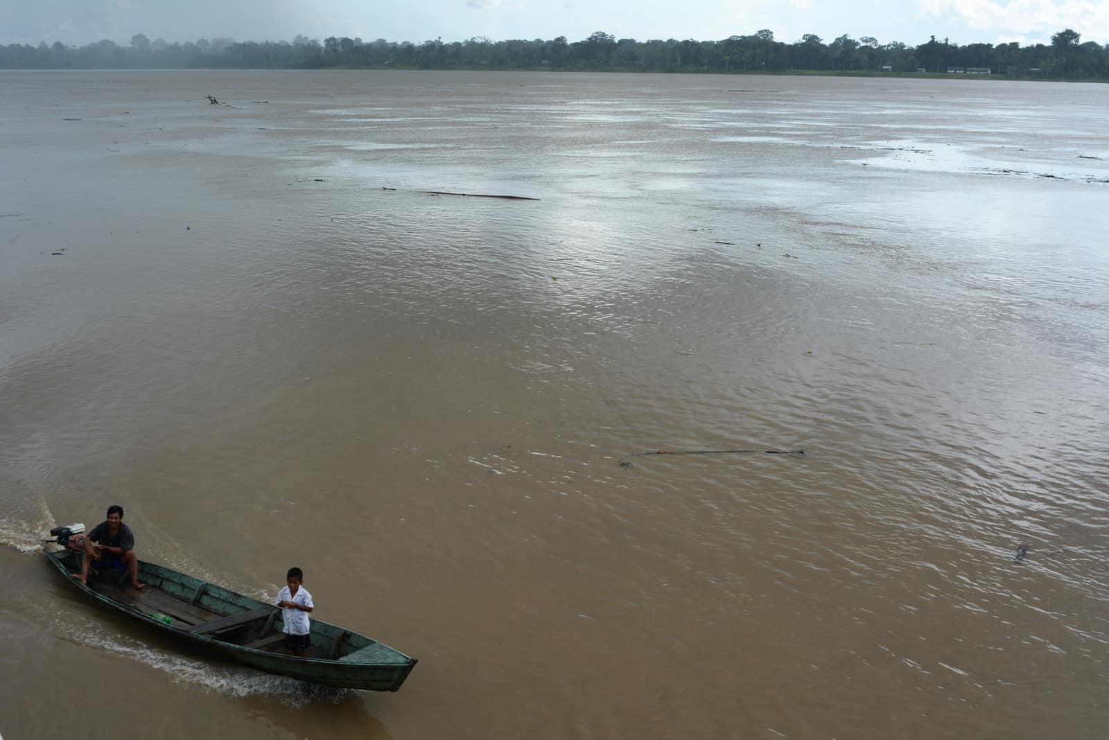
Colombia
By invitation
Amazon Putumayo River
Putumayo & Amazon Gateway
Blackwater tributaries cut through primary forest at Colombia's southern edge. Pink river dolphins work the main channels — present, not promised.
- Duration
- 9 days
- Effort
- Moderate
- Window
- By arrangement
On inquiry
Access →Inquire only in Colombia
Why one of these is not bookable
Amazon Putumayo River
- Check the current advisory for Putumayo before planning; conditions have varied and are department- and municipality-specific.
- If the corridor does not clear, the Amazonas route out of Leticia is a straightforward alternative and we will offer it rather than stretch the point.
Something else
Combine Colombia with a neighbour
Most private journeys cross a border — the Atacama to Uyuni crossing, Copán into Guatemala, Iguazú from both sides. Tell us the shape you want and we will say whether the logistics hold together.
Private & custom