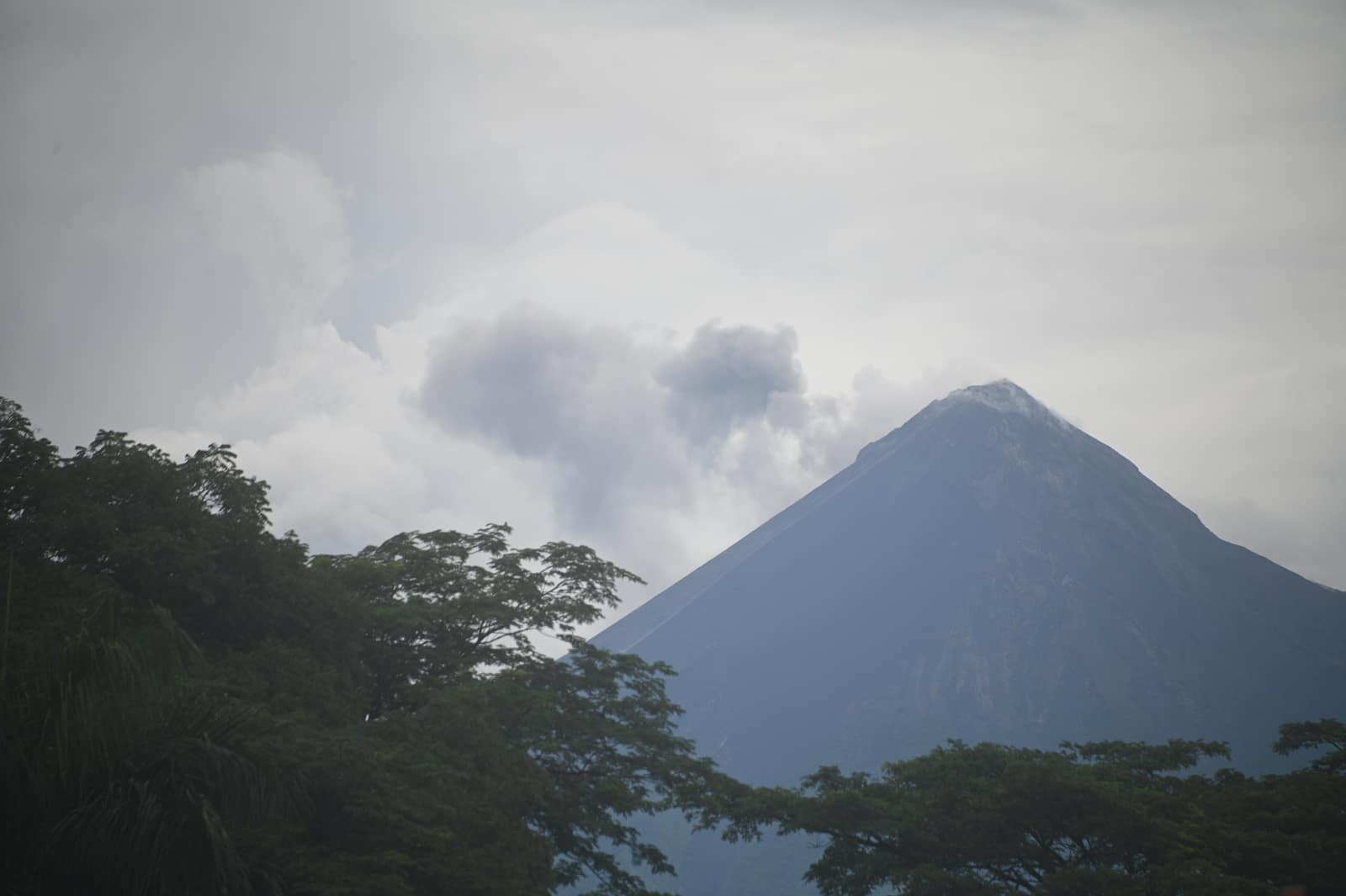
Petén Jungle River Circuit
Petén & Tikal Corridor
Paddle blackwater rivers toward temples rising through canopy. Howler calls roll across plazas where roots pry limestone apart.
- Days
- 10
- Effort
- Moderate
- Window
- Dec–Apr
- From
- $6,200
The ground
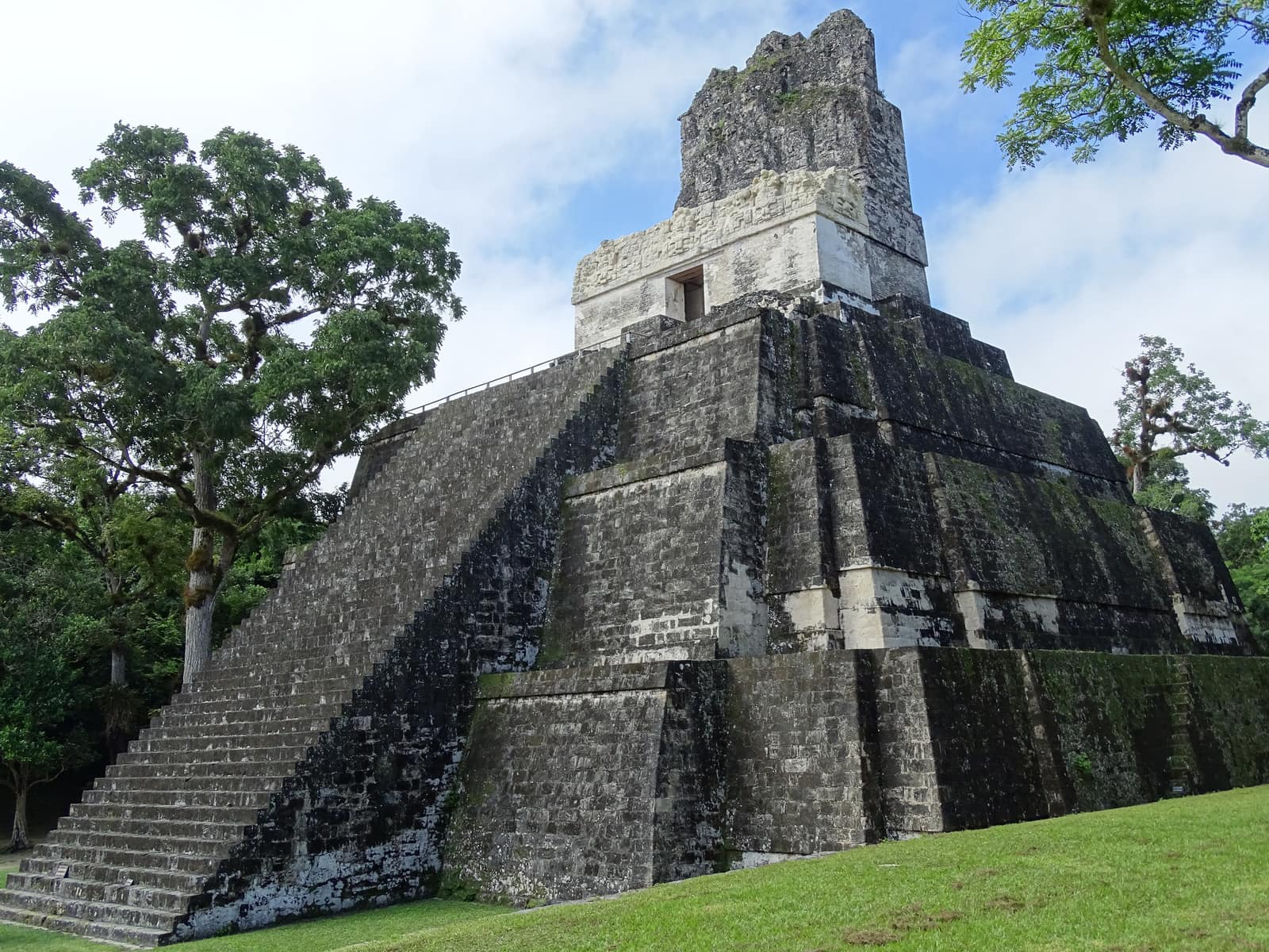
Petén is flat. That matters, because the only high ground is what the Maya built: Tikal's Temple IV rises about 65 m out of the canopy, and from the top you are looking across an unbroken green plain with other temple combs breaking through it. Howler monkeys start before light and carry for kilometres.
The forest is the Maya Biosphere Reserve, the largest remaining tract in Mesoamerica north of the Darién. Beyond Tikal, Yaxhá sits on a lagoon with almost no one on it, and Uaxactún is a working chiclero village living inside its own ruins.
The water days work the lagoon and river systems, Yaxhá and Petexbatún by boat, with a paddle section where the level allows, rather than pretending Petén has whitewater. It does not.
Petén department and the Tikal corridor, Maya Biosphere Reserve, Guatemala. Working elevation runs Lowland karst, 100–250 m. That profile shapes sleep, pace, and how early the group needs to move. The published window: December through April. February and March are driest. Within that window, day order still flexes with weather and access.
Tikal charges a separate supplement for sunrise and sunset entry, and both are quota-limited. We book them rather than hope. River access to Aguateca and Ceibal depends on water level in the Pasión and Petexbatún systems. Private guiding with a licensed archaeological guide at each site, private boat. Small-group departures up to ten. This is the operating shape of the trip: private enough to reorder days, constrained enough that permits and local rules still set the ceiling.
Shape of the days
A shape, not a script. Order and pacing move with weather, permits, and how the first days actually go.
Day 1
Flores: opening
Day 1 sits inside the 1–2 arc titled Flores. Arrival on the island town, orientation, and an afternoon on Lake Petén Itzá. This opening slice sets the logistics and the first read of the ground before the denser days. Arrival and orientation use the published access picture. Tikal charges a separate supplement for sunrise and sunset entry, and both are quota-limited. We book them rather than hope. Elevation context for the programme: Lowland karst, 100–250 m. Sleep and walk length are graded against that, not against a generic fitness brochure. Early days protect the later ones. We do not burn the group on a full-length day before the body has met the altitude, heat, or boat rhythm this route actually uses. The forest is the Maya Biosphere Reserve, the largest remaining tract in Mesoamerica north of the Darién. Beyond Tikal, Yaxhá sits on a lagoon with almost no one on it, and Uaxactún is a working chiclero village living inside its own ruins. Geography stays inside Petén department and the Tikal corridor, Maya Biosphere Reserve, Guatemala. Season logic we plan against: December through April. February and March are driest. Packing still matters here: Light, long, quick-dry layers against mosquitoes and heat.
Day 2
Flores: continuation
Day 2 sits inside the 1–2 arc titled Flores. Arrival on the island town, orientation, and an afternoon on Lake Petén Itzá. This closing slice of the block consolidates what the earlier days opened, without inventing a new sector. Arrival and orientation use the published access picture. River access to Aguateca and Ceibal depends on water level in the Pasión and Petexbatún systems. Elevation context for the programme: Lowland karst, 100–250 m. Sleep and walk length are graded against that, not against a generic fitness brochure. Early days protect the later ones. We do not burn the group on a full-length day before the body has met the altitude, heat, or boat rhythm this route actually uses. Beyond Tikal, Yaxhá sits on a lagoon with almost no one on it, and Uaxactún is a working chiclero village living inside its own ruins. Geography stays inside Petén department and the Tikal corridor, Maya Biosphere Reserve, Guatemala. Season logic we plan against: December through April. February and March are driest. Packing still matters here: Light, long, quick-dry layers against mosquitoes and heat.
Days 3–4
Tikal and Uaxactún: opening
Days 3–4 continue the Tikal and Uaxactún block. Tikal at opening before the day groups, Temple IV at dawn, then north to Uaxactún for a night in the village and its astronomical complex. This opening slice sets the logistics and the first read of the ground before the denser days. Field days stay inside the ground already described for Guatemala. The water days work the lagoon and river systems, Yaxhá and Petexbatún by boat, with a paddle section where the level allows, rather than pretending Petén has whitewater. Tikal charges a separate supplement for sunrise and sunset entry, and both are quota-limited. We book them rather than hope. Private guiding with a licensed archaeological guide at each site, private boat. Expect a full field day measured in hours on foot, on the water, or in transit between sectors already named above. Private guiding means we can shorten or reorder, not that the underlying constraints disappear. Petén is flat. That matters, because the only high ground is what the Maya built: Tikal's Temple IV rises about 65 m out of the canopy, and from the top you are looking across an unbroken green plain with other temple combs breaking through it. Howler monkeys start before light and carry for kilometres. Geography stays inside Petén department and the Tikal corridor, Maya Biosphere Reserve, Guatemala. Season logic we plan against: December through April. February and March are driest. For kit on these days: Light, long, quick-dry layers against mosquitoes and heat.
Day 5
Tikal and Uaxactún: continuation
Day 5 sits inside the 3–5 arc titled Tikal and Uaxactún. Tikal at opening before the day groups, Temple IV at dawn, then north to Uaxactún for a night in the village and its astronomical complex. This closing slice of the block consolidates what the earlier days opened, without inventing a new sector. Field days stay inside the ground already described for Guatemala. Petén is flat. That matters, because the only high ground is what the Maya built: Tikal's Temple IV rises about 65 m out of the canopy, and from the top you are looking across an unbroken green plain with other temple combs breaking through it. River access to Aguateca and Ceibal depends on water level in the Pasión and Petexbatún systems. Private guiding with a licensed archaeological guide at each site, private boat. Expect a full field day measured in hours on foot, on the water, or in transit between sectors already named above. Private guiding means we can shorten or reorder, not that the underlying constraints disappear. That matters, because the only high ground is what the Maya built: Tikal's Temple IV rises about 65 m out of the canopy, and from the top you are looking across an unbroken green plain with other temple combs breaking through it. Howler monkeys start before light and carry for kilometres. Geography stays inside Petén department and the Tikal corridor, Maya Biosphere Reserve, Guatemala. Season logic we plan against: December through April. February and March are driest. For kit on these days: Light, long, quick-dry layers against mosquitoes and heat.
Days 6–7
Yaxhá and the lagoons: opening
Days 6–7 continue the Yaxhá and the lagoons block. Boat and paddle on Laguna Yaxhá, the Topoxté island site, and dusk from the Yaxhá acropolis, the best sunset in the department and usually empty. This opening slice sets the logistics and the first read of the ground before the denser days. Field days stay inside the ground already described for Guatemala. The forest is the Maya Biosphere Reserve, the largest remaining tract in Mesoamerica north of the Darién. Tikal charges a separate supplement for sunrise and sunset entry, and both are quota-limited. We book them rather than hope. Private guiding with a licensed archaeological guide at each site, private boat. Expect a full field day measured in hours on foot, on the water, or in transit between sectors already named above. Private guiding means we can shorten or reorder, not that the underlying constraints disappear. The water days work the lagoon and river systems, Yaxhá and Petexbatún by boat, with a paddle section where the level allows, rather than pretending Petén has whitewater. It does not. Geography stays inside Petén department and the Tikal corridor, Maya Biosphere Reserve, Guatemala. Season logic we plan against: December through April. February and March are driest. For kit on these days: Light, long, quick-dry layers against mosquitoes and heat.
Day 8
Yaxhá and the lagoons: continuation
Day 8 sits inside the 6–8 arc titled Yaxhá and the lagoons. Boat and paddle on Laguna Yaxhá, the Topoxté island site, and dusk from the Yaxhá acropolis, the best sunset in the department and usually empty. This closing slice of the block consolidates what the earlier days opened, without inventing a new sector. Field days stay inside the ground already described for Guatemala. The water days work the lagoon and river systems, Yaxhá and Petexbatún by boat, with a paddle section where the level allows, rather than pretending Petén has whitewater. River access to Aguateca and Ceibal depends on water level in the Pasión and Petexbatún systems. Private guiding with a licensed archaeological guide at each site, private boat. Expect a full field day measured in hours on foot, on the water, or in transit between sectors already named above. Private guiding means we can shorten or reorder, not that the underlying constraints disappear. It does not. Geography stays inside Petén department and the Tikal corridor, Maya Biosphere Reserve, Guatemala. Season logic we plan against: December through April. February and March are driest. For kit on these days: Light, long, quick-dry layers against mosquitoes and heat.
Day 9
Petexbatún or exit: opening
Day 9 sits inside the 9–10 arc titled Petexbatún or exit. Optional Aguateca and Ceibal by river out of Sayaxché, then exit from Flores. This opening slice sets the logistics and the first read of the ground before the denser days. Exit logistics follow the same transfer pattern already built into the programme. River access to Aguateca and Ceibal depends on water level in the Pasión and Petexbatún systems. International connections should leave buffer after the last field day; late-evening flights only when the ground day is genuinely short. The last day is deliberately lighter where the catalogue allows it, so extraction does not collide with a hard physical ask. The forest is the Maya Biosphere Reserve, the largest remaining tract in Mesoamerica north of the Darién. Beyond Tikal, Yaxhá sits on a lagoon with almost no one on it, and Uaxactún is a working chiclero village living inside its own ruins. Geography stays inside Petén department and the Tikal corridor, Maya Biosphere Reserve, Guatemala. Season logic we plan against: December through April. February and March are driest. Packing still matters here: Light, long, quick-dry layers against mosquitoes and heat.
Day 10
Petexbatún or exit: continuation
Day 10 sits inside the 9–10 arc titled Petexbatún or exit. Optional Aguateca and Ceibal by river out of Sayaxché, then exit from Flores. This closing slice of the block consolidates what the earlier days opened, without inventing a new sector. Exit logistics follow the same transfer pattern already built into the programme. Tikal charges a separate supplement for sunrise and sunset entry, and both are quota-limited. We book them rather than hope. International connections should leave buffer after the last field day; late-evening flights only when the ground day is genuinely short. The last day is deliberately lighter where the catalogue allows it, so extraction does not collide with a hard physical ask. Beyond Tikal, Yaxhá sits on a lagoon with almost no one on it, and Uaxactún is a working chiclero village living inside its own ruins. Geography stays inside Petén department and the Tikal corridor, Maya Biosphere Reserve, Guatemala. Season logic we plan against: December through April. February and March are driest. Packing still matters here: Light, long, quick-dry layers against mosquitoes and heat.
Conditions
Hot and humid, 24–34 °C. December to April is the dry season and the practical window. Mosquitoes are constant near water; the dawn howler chorus is not optional.
Fitness bar
Moderate. Flat walking in heat, temple stairs that are steep and sometimes wet, long boat days, early starts.
Best months
December through April. February and March are driest.
Private or small group
Private guiding with a licensed archaeological guide at each site, private boat. Small-group departures up to ten.
What to bring
Light, long, quick-dry layers against mosquitoes and heat. Boots with grip for wet temple stairs, a head torch for the pre-dawn Tikal start, and insect repellent you trust near the lagoons.
Mesoamerica
Access and permits
The constraints that actually decide whether a date is possible.
- Tikal charges a separate supplement for sunrise and sunset entry, and both are quota-limited. We book them rather than hope.
- River access to Aguateca and Ceibal depends on water level in the Pasión and Petexbatún systems.
Included
- Park fees for Tikal, Yaxhá, and any river sites
- Licensed archaeological guide and naturalist
- Private boat and paddle equipment
- Flores and jungle lodge accommodation, all transfers
- Daily field briefings with the lead guide before departure
Not included
- The El Mirador trek, which is a harder five-to-six-day expedition on its own
- International flights
- Helicopter access to El Mirador
- Personal insurance, including medical and evacuation cover
- Tips for guides and lodge staff, which remain optional and separate
What the price reflects
$6,200–9,100 for ten days covers private archaeological guiding, sunrise and sunset supplements, a private boat, and the better jungle lodges. Day-trip Tikal from Flores is inexpensive and crowded, which is precisely the difference. What moves a quote inside that picture is party size, season, and the lodge or camp class actually available for your dates. Private guiding with a licensed archaeological guide at each site, private boat. Small-group departures up to ten. On the included side, the band already assumes items such as: Park fees for Tikal, Yaxhá, and any river sites; Licensed archaeological guide and naturalist; Private boat and paddle equipment. Still outside the band unless we write them in: The El Mirador trek, which is a harder five-to-six-day expedition on its own; International flights; Helicopter access to El Mirador. Nothing is confirmed until it is confirmed in writing.
- Party size
- Per-person cost usually falls as the private team is shared across more guests, up to the format limit implied by the guiding and lodge picture. Private guiding with a licensed archaeological guide at each site, private boat.
- Season and dates
- Window on the card: Dec–Apr. Planning note: December through April. February and March are driest. Peak dates inside that window tighten lodge and permit availability, which is what usually pushes a quote toward the top of a published band.
- Lodge or camp class
- Accommodation in the band reflects: Flores and jungle lodge accommodation, all transfers. Moving up or down a class, or shifting to a scarcer property, changes the quote without changing the route.
- Internal transport
- Transfers and regional legs follow the trip design. Watch for: International flights. Charter or peak-season domestic seats, where they apply, sit outside a simple road transfer.
- Permits and access
- Access cost tracks what the ground already requires. Park fees for Tikal, Yaxhá, and any river sites We do not invent fee figures beyond what the catalogue already states.
- Outside the band
- Not assumed unless written in: The El Mirador trek, which is a harder five-to-six-day expedition on its own; International flights; Helicopter access to El Mirador.
Bands are per person sharing and move with party size, season, and lodge choice. Nothing is confirmed until it is confirmed in writing. How we price.
Where this is
Petén department and the Tikal corridor, Maya Biosphere Reserve, Guatemala.
Elevation: Lowland karst, 100–250 m. Season as published: Dec–Apr. Difficulty as assessed: Moderate.
What we checked
Seasons, altitudes, permits, and caps on this page were checked against park authorities, monitoring agencies, and operators on the ground. Where a fact changes with the year, we say so rather than round it off.
Near this
Same terrain, different week
Mexico
Yucatán Cenote Coast
Riviera Maya & Puuc (Yucatán / Quintana Roo)
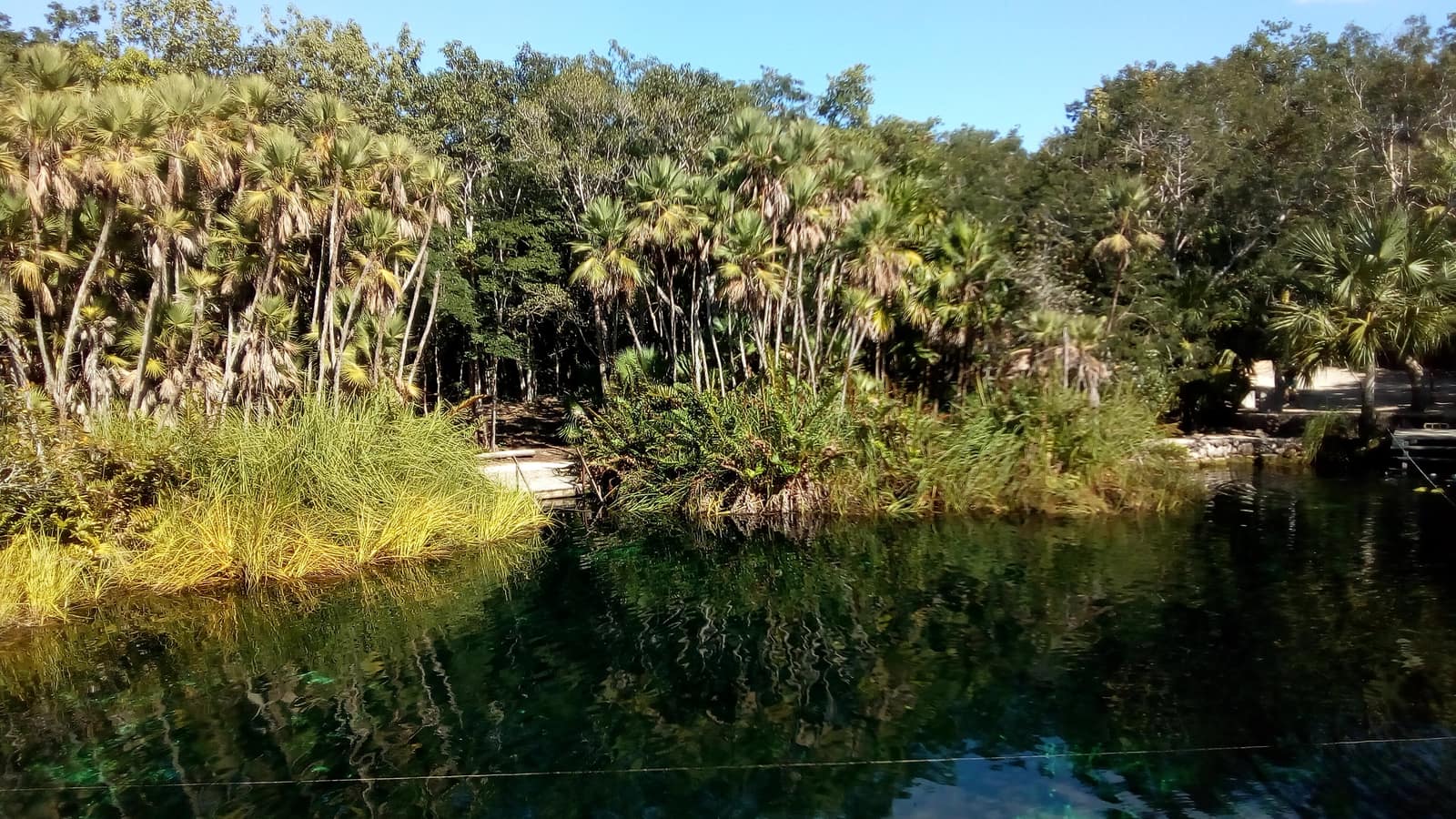
Cool limestone pools open beneath jungle canopy; light shafts cut the water like columns. Evenings move from reef swim to limestone ruins warm with stone.
- Duration
- 8 days
- Effort
- Easy
- Window
- Nov–Apr
$5,200–$7,800
Detail →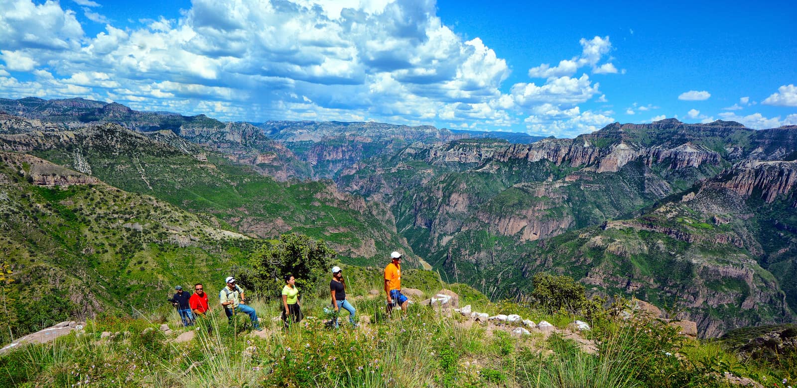
Mexico
Copper Canyon Traverse
Sierra Tarahumara / Barrancas del Cobre (Chihuahua)
Several gorges here run deeper than the Grand Canyon, folded into pine and cliff. Footpaths follow Rarámuri routes where the rim drops away without warning.
- Duration
- 10 days
- Effort
- Challenging
- Window
- Oct–Apr
$6,500–$9,200
Detail →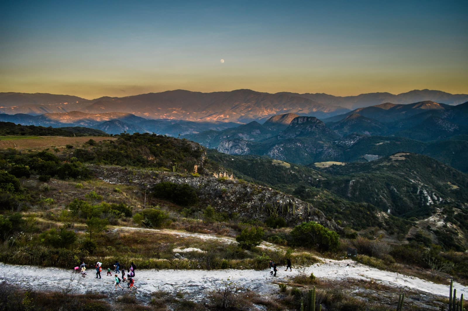
Mexico
Oaxaca Highland Ascent
Sierra Norte & Central Valleys
Cloud forest trails link Zapotec villages where smoke from cooking fires rises at dusk. Ridges open onto valleys quilted with maize and agave.
- Duration
- 8 days
- Effort
- Moderate
- Window
- Oct–Mar
$4,800–$7,200
Detail →From the ground
Frames from this route family and country — not a studio set, and not a promise of identical weather.