Belize Cave River Crossing
Cayo & Mountain Pine Ridge
Float into limestone chambers where Maya ceramics still rest in niches. Above ground, pine ridges and waterfalls break the green.
- Days
- 8
- Effort
- Moderate
- Window
- Nov–May
- From
- $5,400
The ground
The Cayo karst is riddled with river caves the Maya treated as entrances to Xibalba, the underworld. Actun Tunichil Muknal is the extraordinary one: you swim in through the entrance pool, work upstream through chambers for close to an hour, then climb into a dry upper level where ceramics and skeletal remains sit exactly where they were left, calcified into the floor.
It is also fragile and tightly controlled. Access is guided-only with capped party sizes, you walk it in socks in the upper chamber, and cameras have been banned inside for years after a visitor dropped one on a skull. We mention this before you pack.
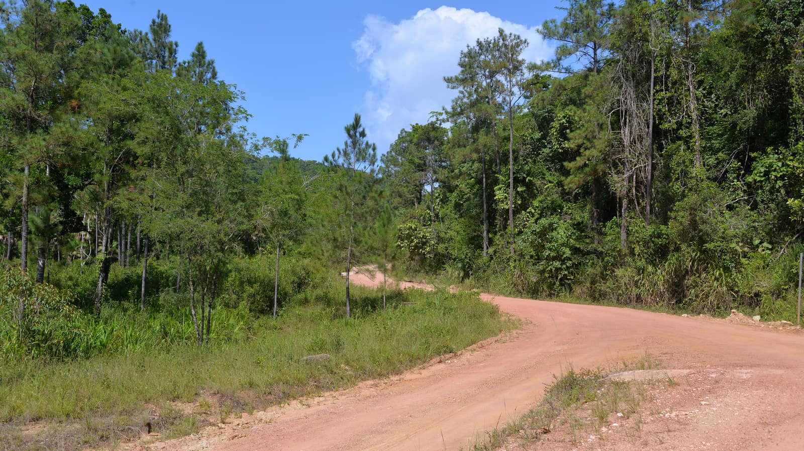
Above ground, Mountain Pine Ridge is a different Belize entirely, granite, Caribbean pine, and waterfalls like Río On and Thousand Foot Falls, at an altitude that actually cools off at night.
Cayo district and the Mountain Pine Ridge Forest Reserve, Belize. Working elevation runs Cayo lowlands 100 m · Mountain Pine Ridge to 1,000 m. That profile shapes sleep, pace, and how early the group needs to move. The published window: November through May, driest February to April. Within that window, day order still flexes with weather and access.
Actun Tunichil Muknal is guided-access only with licensed guides and capped party ratios. Cameras and phones are banned inside the cave. Cave rivers close after heavy rain. We hold a buffer day and an above-ground alternative for exactly this. Private guiding with licensed cave guides. ATM party sizes are capped by regulation, so this section is small by law. This is the operating shape of the trip: private enough to reorder days, constrained enough that permits and local rules still set the ceiling.
Shape of the days
A shape, not a script. Order and pacing move with weather, permits, and how the first days actually go.
Day 1
San Ignacio: opening
Day 1 sits inside the 1–2 arc titled San Ignacio. Arrival in Cayo, Cahal Pech or Xunantunich, and a briefing on the cave days. This opening slice sets the logistics and the first read of the ground before the denser days. Arrival and orientation use the published access picture. Actun Tunichil Muknal is guided-access only with licensed guides and capped party ratios. Cameras and phones are banned inside the cave. Elevation context for the programme: Cayo lowlands 100 m · Mountain Pine Ridge to 1,000 m. Sleep and walk length are graded against that, not against a generic fitness brochure. Early days protect the later ones. We do not burn the group on a full-length day before the body has met the altitude, heat, or boat rhythm this route actually uses. It is also fragile and tightly controlled. Access is guided-only with capped party sizes, you walk it in socks in the upper chamber, and cameras have been banned inside for years after a visitor dropped one on a skull. We mention this before you pack. Geography stays inside Cayo district and the Mountain Pine Ridge Forest Reserve, Belize. Season logic we plan against: November through May, driest February to April. Packing still matters here: Photography is prohibited inside Actun Tunichil Muknal, so leave the camera behind that day.
Day 2
San Ignacio: continuation
Day 2 sits inside the 1–2 arc titled San Ignacio. Arrival in Cayo, Cahal Pech or Xunantunich, and a briefing on the cave days. This closing slice of the block consolidates what the earlier days opened, without inventing a new sector. Arrival and orientation use the published access picture. Cave rivers close after heavy rain. We hold a buffer day and an above-ground alternative for exactly this. Elevation context for the programme: Cayo lowlands 100 m · Mountain Pine Ridge to 1,000 m. Sleep and walk length are graded against that, not against a generic fitness brochure. Early days protect the later ones. We do not burn the group on a full-length day before the body has met the altitude, heat, or boat rhythm this route actually uses. Access is guided-only with capped party sizes, you walk it in socks in the upper chamber, and cameras have been banned inside for years after a visitor dropped one on a skull. We mention this before you pack. Geography stays inside Cayo district and the Mountain Pine Ridge Forest Reserve, Belize. Season logic we plan against: November through May, driest February to April. Packing still matters here: Photography is prohibited inside Actun Tunichil Muknal, so leave the camera behind that day.
Day 3
River caves: opening
Day 3 sits inside the 3–4 arc titled River caves. Actun Tunichil Muknal with a licensed guide, and Barton Creek by canoe. A gentler, equally atmospheric alternative if water levels have closed ATM. This opening slice sets the logistics and the first read of the ground before the denser days. Field days stay inside the ground already described for Belize. Above ground, Mountain Pine Ridge is a different Belize entirely, granite, Caribbean pine, and waterfalls like Río On and Thousand Foot Falls, at an altitude that actually cools off at night. Actun Tunichil Muknal is guided-access only with licensed guides and capped party ratios. Cameras and phones are banned inside the cave. Private guiding with licensed cave guides. Expect a full field day measured in hours on foot, on the water, or in transit between sectors already named above. Private guiding means we can shorten or reorder, not that the underlying constraints disappear. The Cayo karst is riddled with river caves the Maya treated as entrances to Xibalba, the underworld. Actun Tunichil Muknal is the extraordinary one: you swim in through the entrance pool, work upstream through chambers for close to an hour, then climb into a dry upper level where ceramics and skeletal remains sit exactly where they were left, calcified into the floor. Geography stays inside Cayo district and the Mountain Pine Ridge Forest Reserve, Belize. Season logic we plan against: November through May, driest February to April. For kit on these days: Photography is prohibited inside Actun Tunichil Muknal, so leave the camera behind that day.
Day 4
River caves: continuation
Day 4 sits inside the 3–4 arc titled River caves. Actun Tunichil Muknal with a licensed guide, and Barton Creek by canoe. A gentler, equally atmospheric alternative if water levels have closed ATM. This closing slice of the block consolidates what the earlier days opened, without inventing a new sector. Field days stay inside the ground already described for Belize. The Cayo karst is riddled with river caves the Maya treated as entrances to Xibalba, the underworld. Cave rivers close after heavy rain. We hold a buffer day and an above-ground alternative for exactly this. Private guiding with licensed cave guides. Expect a full field day measured in hours on foot, on the water, or in transit between sectors already named above. Private guiding means we can shorten or reorder, not that the underlying constraints disappear. Actun Tunichil Muknal is the extraordinary one: you swim in through the entrance pool, work upstream through chambers for close to an hour, then climb into a dry upper level where ceramics and skeletal remains sit exactly where they were left, calcified into the floor. Geography stays inside Cayo district and the Mountain Pine Ridge Forest Reserve, Belize. Season logic we plan against: November through May, driest February to April. For kit on these days: Photography is prohibited inside Actun Tunichil Muknal, so leave the camera behind that day.
Day 5
Mountain Pine Ridge: opening
Day 5 sits inside the 5–6 arc titled Mountain Pine Ridge. Granite country, Río On pools, Río Frío cave, and Caracol, the largest Maya site in Belize, usually with almost nobody in it. This opening slice sets the logistics and the first read of the ground before the denser days. Field days stay inside the ground already described for Belize. It is also fragile and tightly controlled. Actun Tunichil Muknal is guided-access only with licensed guides and capped party ratios. Cameras and phones are banned inside the cave. Private guiding with licensed cave guides. Expect a full field day measured in hours on foot, on the water, or in transit between sectors already named above. Private guiding means we can shorten or reorder, not that the underlying constraints disappear. Above ground, Mountain Pine Ridge is a different Belize entirely, granite, Caribbean pine, and waterfalls like Río On and Thousand Foot Falls, at an altitude that actually cools off at night. Geography stays inside Cayo district and the Mountain Pine Ridge Forest Reserve, Belize. Season logic we plan against: November through May, driest February to April. For kit on these days: Photography is prohibited inside Actun Tunichil Muknal, so leave the camera behind that day.
Day 6
Mountain Pine Ridge: continuation
Day 6 sits inside the 5–6 arc titled Mountain Pine Ridge. Granite country, Río On pools, Río Frío cave, and Caracol, the largest Maya site in Belize, usually with almost nobody in it. This closing slice of the block consolidates what the earlier days opened, without inventing a new sector. Field days stay inside the ground already described for Belize. Above ground, Mountain Pine Ridge is a different Belize entirely, granite, Caribbean pine, and waterfalls like Río On and Thousand Foot Falls, at an altitude that actually cools off at night. Cave rivers close after heavy rain. We hold a buffer day and an above-ground alternative for exactly this. Private guiding with licensed cave guides. Expect a full field day measured in hours on foot, on the water, or in transit between sectors already named above. Private guiding means we can shorten or reorder, not that the underlying constraints disappear. The Cayo karst is riddled with river caves the Maya treated as entrances to Xibalba, the underworld. Actun Tunichil Muknal is the extraordinary one: you swim in through the entrance pool, work upstream through chambers for close to an hour, then climb into a dry upper level where ceramics and skeletal remains sit exactly where they were left, calcified into the floor. Geography stays inside Cayo district and the Mountain Pine Ridge Forest Reserve, Belize. Season logic we plan against: November through May, driest February to April. For kit on these days: Photography is prohibited inside Actun Tunichil Muknal, so leave the camera behind that day.
Days 7–8
Buffer and exit
Days 7–8 continue the Buffer and exit block. A reserve day for weather, then transfer to Belize City or the coast. The day order inside this block can shift when weather or access forces a rewrite. Exit logistics follow the same transfer pattern already built into the programme. Cave rivers close after heavy rain. We hold a buffer day and an above-ground alternative for exactly this. International connections should leave buffer after the last field day; late-evening flights only when the ground day is genuinely short. The last day is deliberately lighter where the catalogue allows it, so extraction does not collide with a hard physical ask. It is also fragile and tightly controlled. Access is guided-only with capped party sizes, you walk it in socks in the upper chamber, and cameras have been banned inside for years after a visitor dropped one on a skull. We mention this before you pack. Geography stays inside Cayo district and the Mountain Pine Ridge Forest Reserve, Belize. Season logic we plan against: November through May, driest February to April. Packing still matters here: Photography is prohibited inside Actun Tunichil Muknal, so leave the camera behind that day.
Conditions
Warm and humid in Cayo, 22–33 °C; noticeably cooler in the pine ridge at night. November to May is the practical window. Heavy rain raises cave rivers fast and closes ATM and Barton Creek outright. This is a flash-flood environment and closures are a safety decision, not an inconvenience.
Fitness bar
Moderate. ATM involves a 45-minute jungle approach with three river crossings, a swim at the entrance, an hour of upstream wading and scrambling, and one short exposed climb. If you are uneasy in water or tight spaces, say so and we will route you to Barton Creek instead.
Best months
November through May, driest February to April.
Private or small group
Private guiding with licensed cave guides. ATM party sizes are capped by regulation, so this section is small by law.
What to bring
Photography is prohibited inside Actun Tunichil Muknal, so leave the camera behind that day. Swim kit under quick-dry layers, socks for the dry upper chamber, and shoes you do not mind soaking. Helmets, headlamps, and water shoes are supplied.
Mesoamerica
Access and permits
The constraints that actually decide whether a date is possible.
- Actun Tunichil Muknal is guided-access only with licensed guides and capped party ratios. Cameras and phones are banned inside the cave.
- Cave rivers close after heavy rain. We hold a buffer day and an above-ground alternative for exactly this.
Included
- Licensed cave guides and all park and cave fees
- Helmets, headlamps, and water shoes
- Caracol and archaeological site entries
- Lodge accommodation in Cayo and the pine ridge, all transfers
- Daily field briefings with the lead guide before departure
Not included
- Photography inside Actun Tunichil Muknal, which is prohibited
- Cave days lost to high water, we substitute above-ground alternatives
- International flights
- Personal insurance, including medical and evacuation cover
- Tips for guides and lodge staff, which remain optional and separate
What the price reflects
$5,400–8,100 for eight days covers licensed cave guiding at capped ratios, Caracol with a private vehicle on a long rough road, and the better Cayo and pine-ridge lodges. What moves a quote inside that picture is party size, season, and the lodge or camp class actually available for your dates. Private guiding with licensed cave guides. ATM party sizes are capped by regulation, so this section is small by law. On the included side, the band already assumes items such as: Licensed cave guides and all park and cave fees; Helmets, headlamps, and water shoes; Caracol and archaeological site entries. Still outside the band unless we write them in: Photography inside Actun Tunichil Muknal, which is prohibited; Cave days lost to high water, we substitute above-ground alternatives; International flights. Nothing is confirmed until it is confirmed in writing.
- Party size
- Per-person cost usually falls as the private team is shared across more guests, up to the format limit implied by the guiding and lodge picture. Private guiding with licensed cave guides.
- Season and dates
- Window on the card: Nov–May. Planning note: November through May, driest February to April. Peak dates inside that window tighten lodge and permit availability, which is what usually pushes a quote toward the top of a published band.
- Lodge or camp class
- Accommodation in the band reflects: Lodge accommodation in Cayo and the pine ridge, all transfers. Moving up or down a class, or shifting to a scarcer property, changes the quote without changing the route.
- Internal transport
- Transfers and regional legs follow the trip design. Watch for: International flights. Charter or peak-season domestic seats, where they apply, sit outside a simple road transfer.
- Permits and access
- Access cost tracks what the ground already requires. Licensed cave guides and all park and cave fees We do not invent fee figures beyond what the catalogue already states.
- Outside the band
- Not assumed unless written in: Photography inside Actun Tunichil Muknal, which is prohibited; Cave days lost to high water, we substitute above-ground alternatives; International flights.
Bands are per person sharing and move with party size, season, and lodge choice. Nothing is confirmed until it is confirmed in writing. How we price.
Where this is
Cayo district and the Mountain Pine Ridge Forest Reserve, Belize.
Elevation: Cayo lowlands 100 m · Mountain Pine Ridge to 1,000 m. Season as published: November–May; ATM/cave rivers close after heavy rain. Difficulty as assessed: Moderate.
What we checked
Seasons, altitudes, permits, and caps on this page were checked against park authorities, monitoring agencies, and operators on the ground. Where a fact changes with the year, we say so rather than round it off.
Near this
Same terrain, different week
Mexico
Yucatán Cenote Coast
Riviera Maya & Puuc (Yucatán / Quintana Roo)
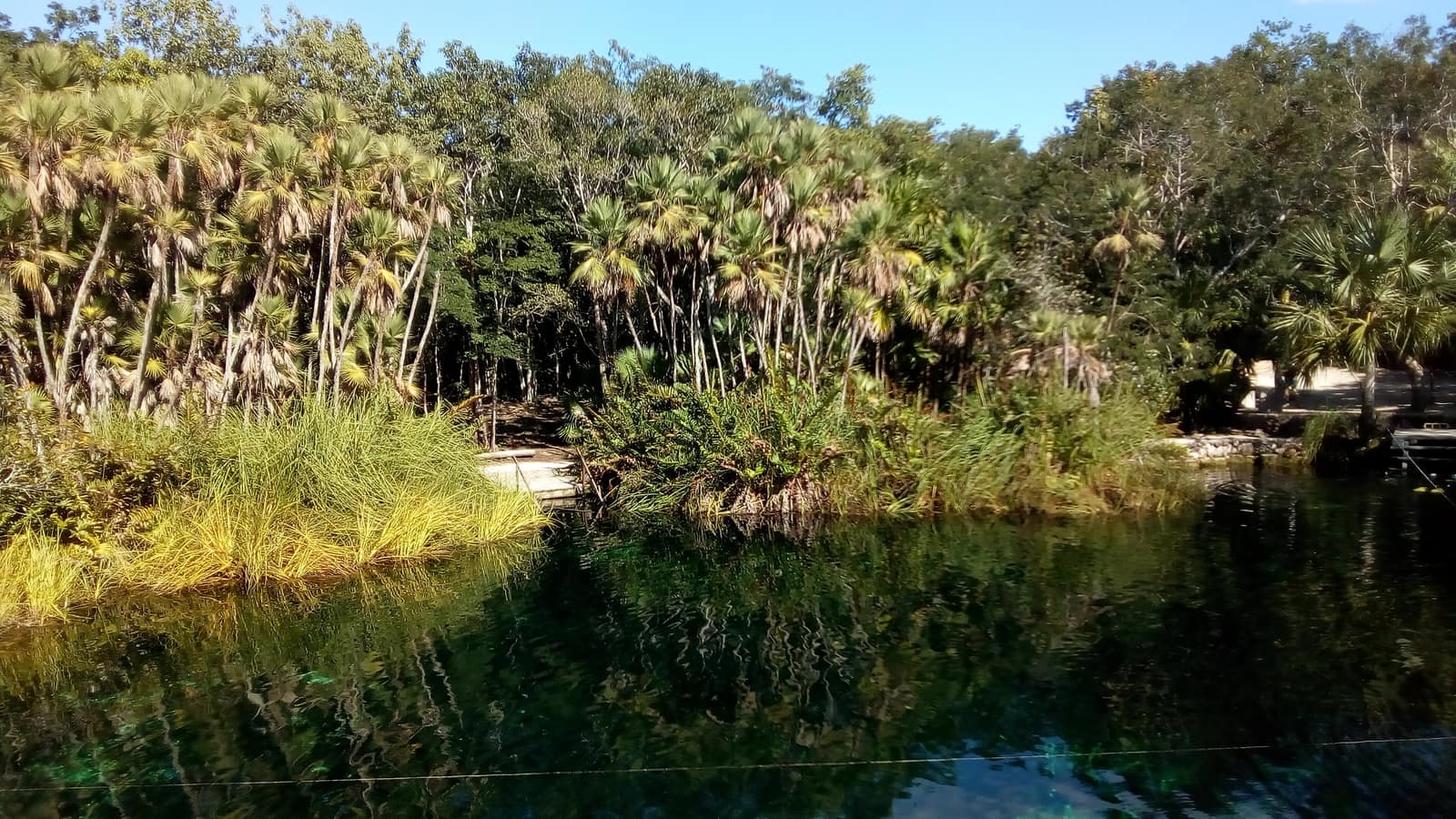
Cool limestone pools open beneath jungle canopy; light shafts cut the water like columns. Evenings move from reef swim to limestone ruins warm with stone.
- Duration
- 8 days
- Effort
- Easy
- Window
- Nov–Apr
$5,200–$7,800
Detail →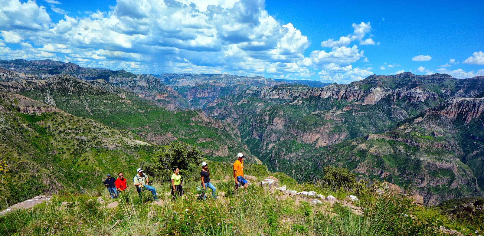
Mexico
Copper Canyon Traverse
Sierra Tarahumara / Barrancas del Cobre (Chihuahua)
Several gorges here run deeper than the Grand Canyon, folded into pine and cliff. Footpaths follow Rarámuri routes where the rim drops away without warning.
- Duration
- 10 days
- Effort
- Challenging
- Window
- Oct–Apr
$6,500–$9,200
Detail →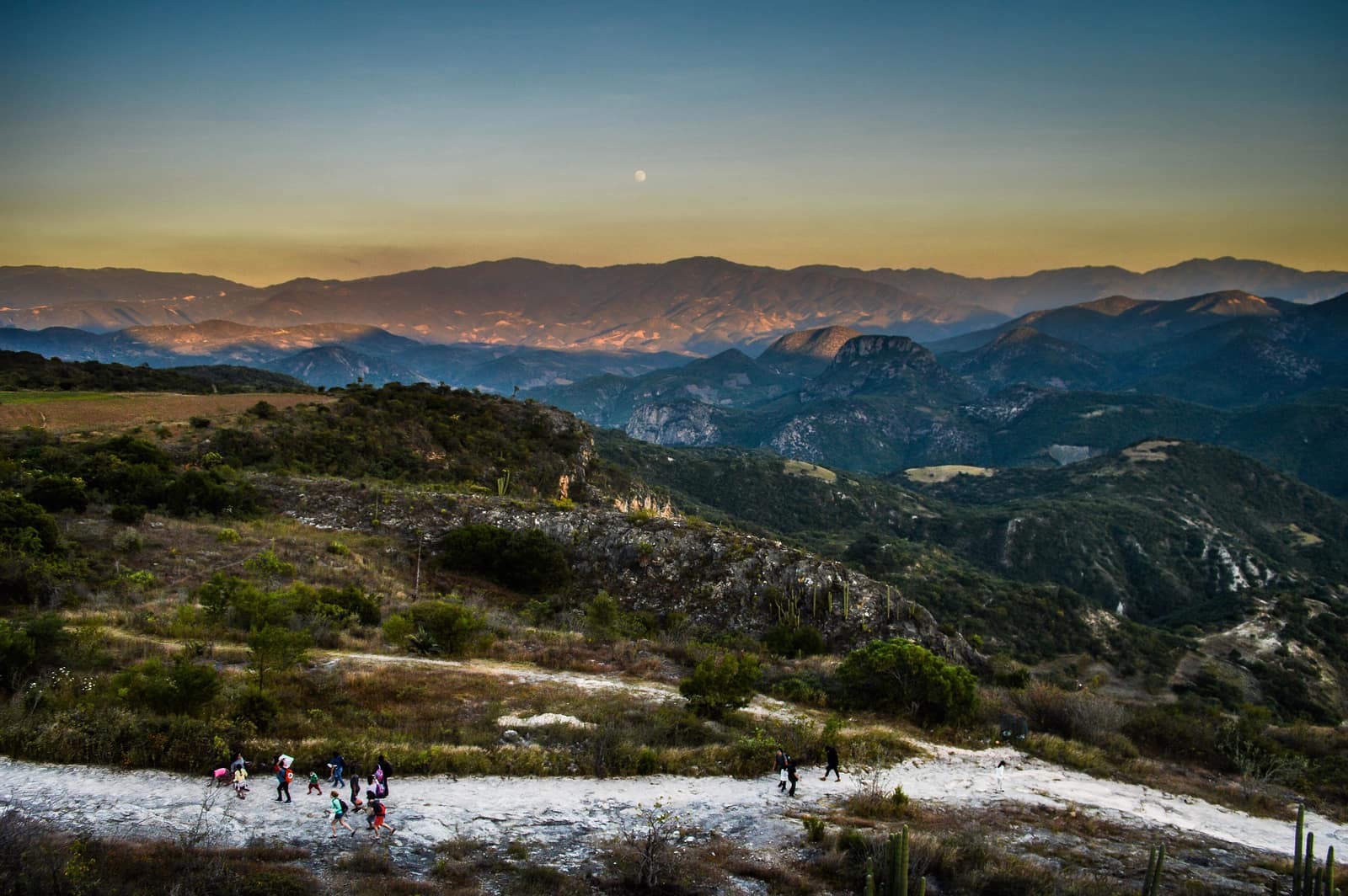
Mexico
Oaxaca Highland Ascent
Sierra Norte & Central Valleys
Cloud forest trails link Zapotec villages where smoke from cooking fires rises at dusk. Ridges open onto valleys quilted with maize and agave.
- Duration
- 8 days
- Effort
- Moderate
- Window
- Oct–Mar
$4,800–$7,200
Detail →From the ground
Frames from this route family and country — not a studio set, and not a promise of identical weather.