Terrain
What the ground asks of you
We organise the catalog by what a day actually asks of you — altitude, wind, humidity, water — rather than by border. Choosing this way is more honest than choosing by country, because “the Andes” behaves nothing like one place and a Caribbean island can be a mountain trip.
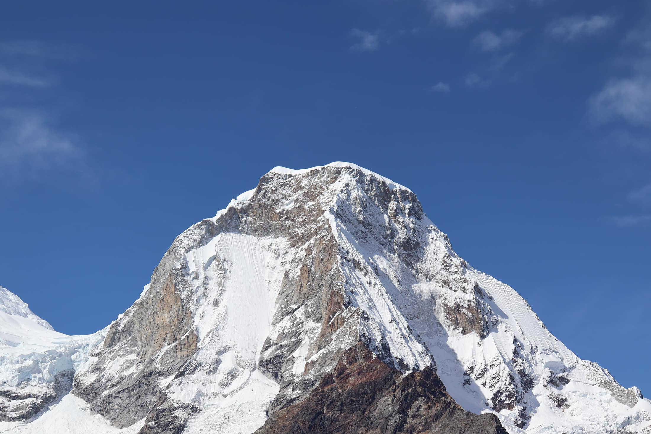
High Andes
Thin air, hard light, and cold that arrives the moment the sun leaves the ridge.
The Andes run about 7,000 km, which means "the Andes" is not one place and does not behave like one. The Cordillera Blanca in Ancash carries more glaciated peaks above 5,500 m than anywhere else in the tropics. The Cordillera Real above La Paz is drier and colder. The Ecuadorian volcanoes are a chain of individual cones you can drive between in an afternoon. The Colombian cordilleras are wet, green, and rarely above 4,000 m. Grouping them by country tells you almost nothing; grouping them by what a day costs your body tells you a lot.
What this ground asks →- Expeditions
- 7
- Length
- 7–12 days
- Countries
- Peru · Colombia · Ecuador · Bolivia
Patagonia & Fjords
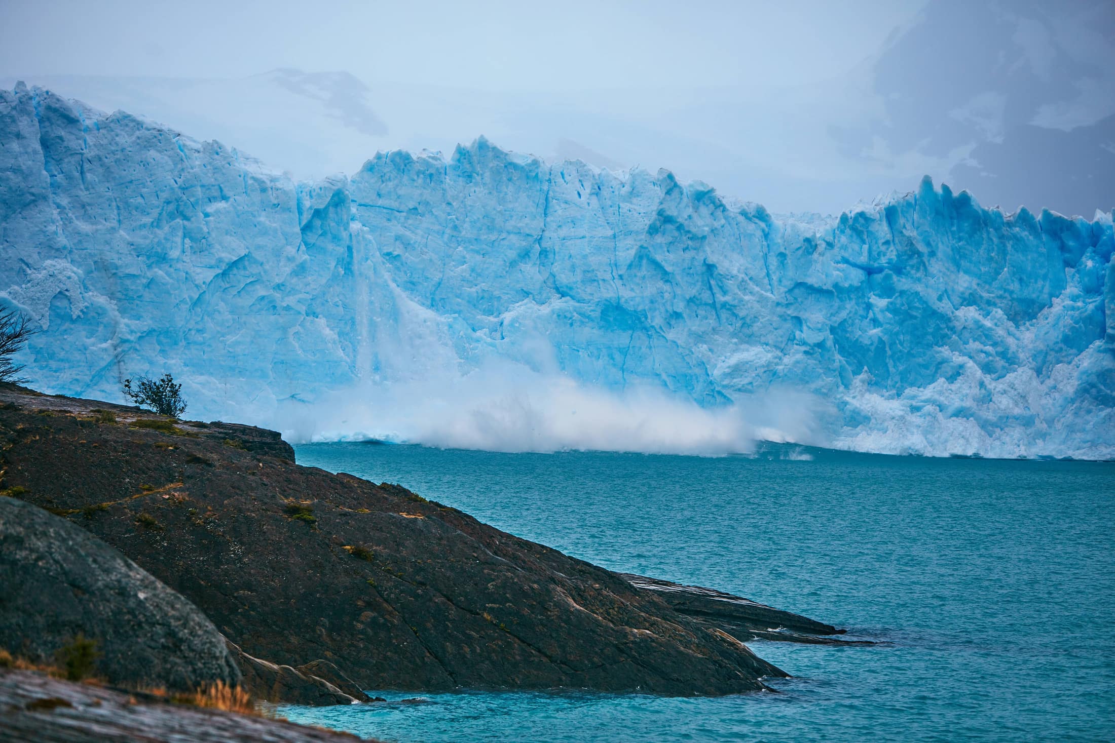
Wind is the weather, the hazard, and the reason the granite looks like that.
Patagonia is low. Torres del Paine's towers top out around 2,500 m and El Chaltén sits at 405 m, so altitude is a non-issue and everything else is amplified. The Southern Patagonian Icefield sits behind both massifs and feeds weather onto bare rock, which is why a single day can move through still sun, horizontal sleet, and back again inside four hours.
What this ground asks →- Expeditions
- 5
- Length
- 7–12 days
- Countries
- Chile · Argentina
Amazon & Rainforest
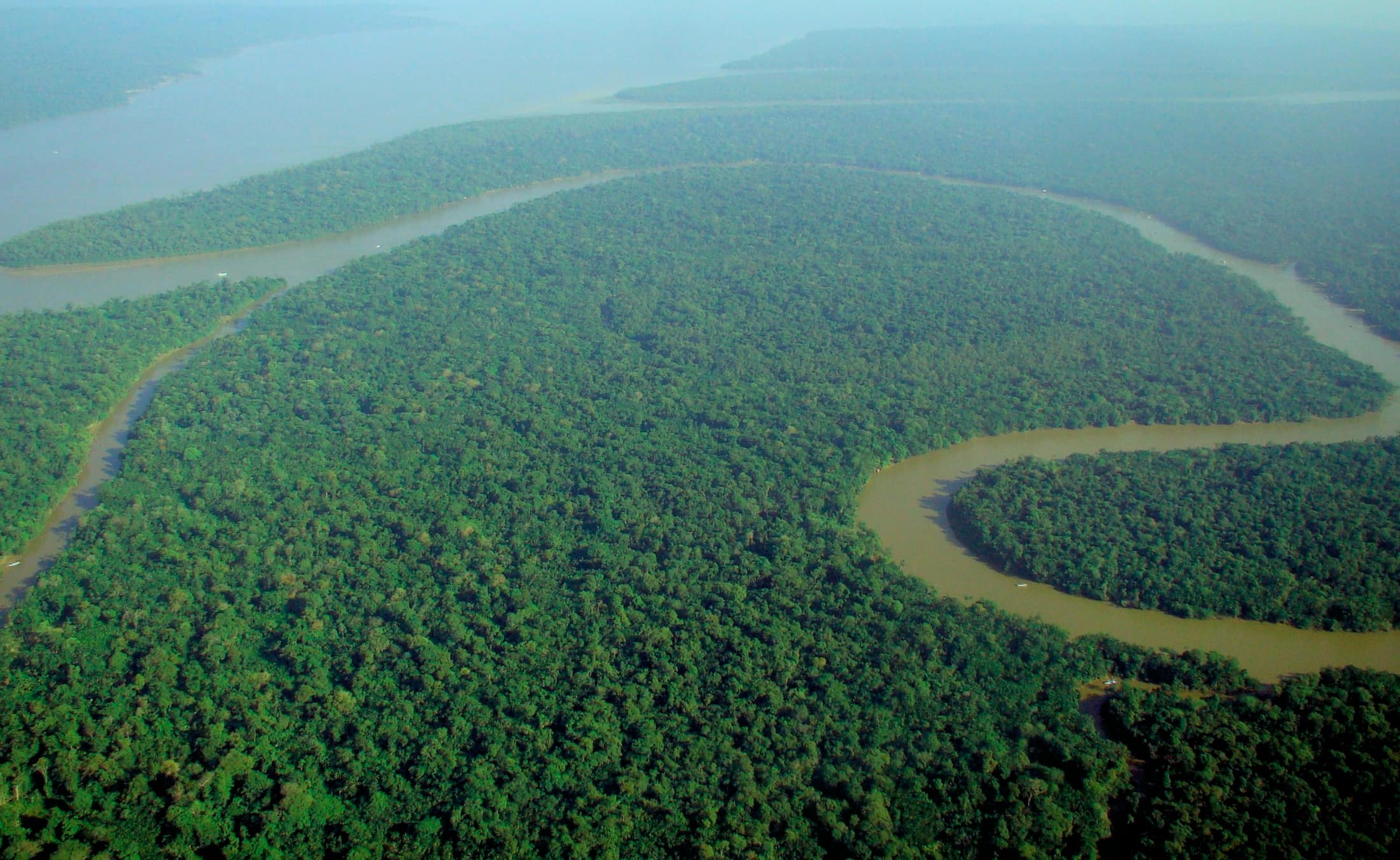
You will hear far more than you see, and the river decides the schedule.
Rainforest is the least photogenic and most rewarding terrain we work, and it requires a specific kind of visitor. The species counts are extraordinary — a hectare of Yasuní can hold more tree species than the whole of temperate North America — and almost none of it lines up for you. What you get instead is density, sound, and the slow accumulation of things a good guide points out that you would have walked straight past.
What this ground asks →- Expeditions
- 12
- Length
- 6–12 days
- Countries
- Ecuador · Honduras · Costa Rica · Panama · Colombia · Peru · Bolivia · Argentina · Brazil
Deserts, Salt & Tablelands
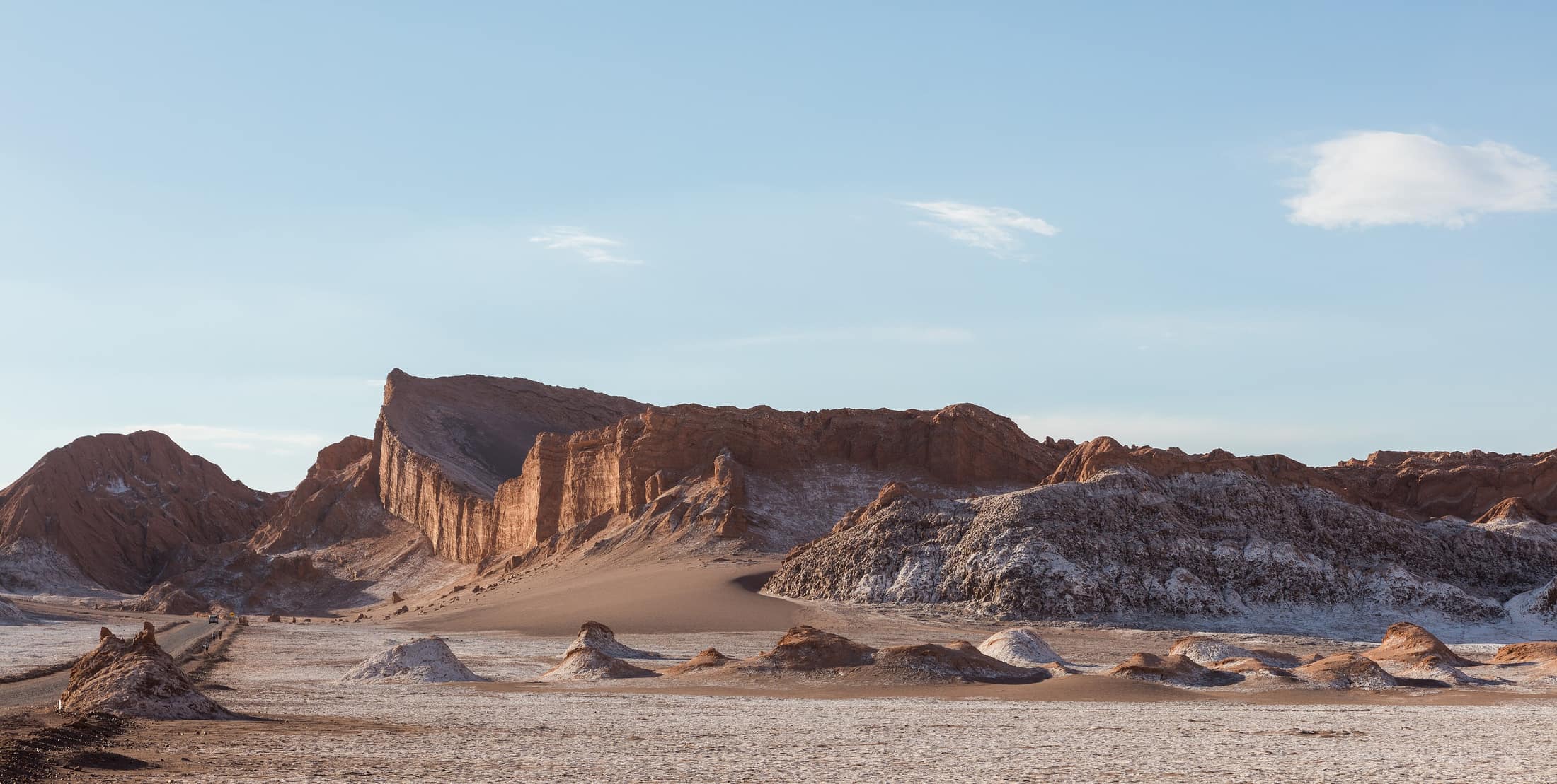
Open ground, extreme light, and altitude that hides behind an easy-looking day.
This family is united by dryness and exposure rather than by geology. The Atacama is the driest non-polar desert on earth and parts of its core have gone years without measurable rain, which is exactly why the world's major observatories are there. The Bolivian altiplano is a high, cold, salt-floored plateau. The Argentine Northwest is a folded sedimentary landscape that changes colour through the day. Bahia's Chapada Diamantina is a quartzite tableland cut into canyons. What they have in common is thin cover, hard sun, and a lot of sky.
What this ground asks →- Expeditions
- 5
- Length
- 6–9 days
- Countries
- Chile · Bolivia · Argentina · Brazil
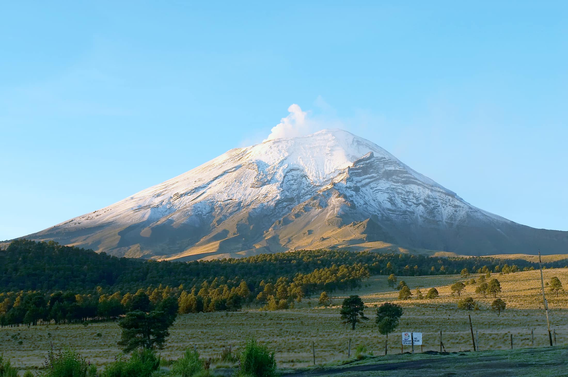
Mesoamerica
Volcanoes, cloud forest, karst, and Maya cities, stacked into short vertical distances.
Mesoamerica compresses more variety into less distance than anywhere else we work. In Guatemala you can be at 1,530 m in Antigua and 3,976 m on Acatenango's summit ridge within a day. El Salvador holds a 2,381 m crater lake and a Pacific point break an hour apart. In the Yucatán the whole peninsula is one limestone slab with no surface rivers, so the water is underground and you swim in it. That compression is the region's defining feature and the reason itineraries here can be genuinely varied without long transfers.
What this ground asks →- Expeditions
- 14
- Length
- 6–10 days
- Countries
- Mexico · Guatemala · Belize · El Salvador · Honduras · Costa Rica · Panama
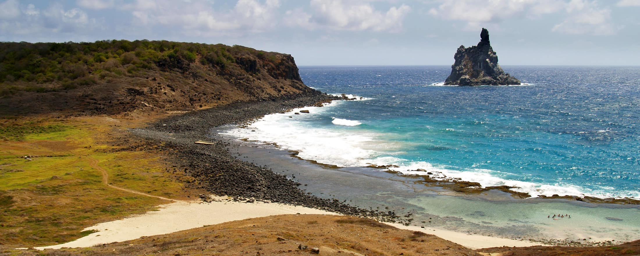
Coasts & Islands
Reef, swell, sea kayak, and volcanic islands — where the water sets the calendar.
This is the broadest family and the one where geography matters least and water matters most. It runs from Baja's desert islands in the Gulf of California, through the Belize barrier reef and the Bay Islands, to the volcanic ranges of the Greater and Lesser Antilles, and out to Galápagos and Fernando de Noronha. What links them is that the sea state, not the rainfall, decides whether a day happens.
What this ground asks →- Expeditions
- 17
- Length
- 6–11 days
- Countries
- Colombia · Mexico · Belize · El Salvador · Honduras · Costa Rica · Panama · Ecuador · Brazil · Cuba · Dominican Republic · Puerto Rico · Bahamas · Dominica · Saint Lucia · Guadeloupe
Not sure which
Tell us what a good day looks like
Most people know the feeling they want before they know the country. Describe the day — how long on your feet, how cold, how remote, how much you want to be looking at versus walking through — and we will tell you which ground fits and which does not.
Tell us what you want