Coffee Triangle Highland Circuit
Eje Cafetero & Valle de Cocora (Quindío)
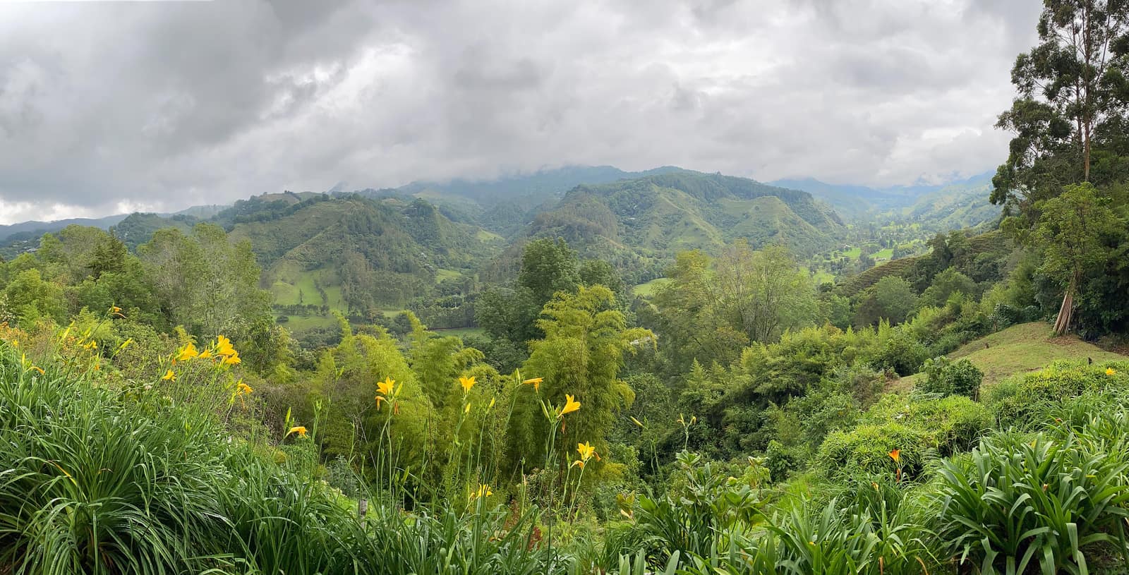
Wax palms rise through cloud in Cocora Valley. Fincas open their drying yards; trails link ridgelines above green valleys.
- Days
- 8
- Effort
- Moderate
- Window
- Year-round
- From
- $5,100
The ground
The Valle de Cocora holds the Quindío wax palm, Colombia's national tree and the tallest palm in the world at up to 60 m. Seeing them standing out of cloud on open pasture is genuinely strange, palms have no business being at 2,400 m in a cold wet valley, and their survival there is a relic of a forest that mostly is not there any more.
The Eje Cafetero itself is a UNESCO cultural landscape, and the reason is the farming system: steep smallholdings, shade trees, hand-picking on gradients no machine can work. A finca morning here, picking, depulping, drying, cupping, is a working process, not a demonstration.
Above the coffee belt the Los Nevados corridor climbs toward the volcanoes. Note that Nevado del Ruiz access has been restricted repeatedly on volcanic activity, so we build the high days around Cocora, Salento, and the Otún Quimbaya reserve instead of promising a summit.
Eje Cafetero and the Valle de Cocora, Quindío and Risaralda, Colombia. UNESCO Coffee Cultural Landscape. Working elevation runs Fincas 1,400–1,900 m · Cocora trail to 2,900 m. That profile shapes sleep, pace, and how early the group needs to move. The published window: Year-round. December to March and July to August are usually the driest; bird activity is good throughout. Within that window, day order still flexes with weather and access.
Los Nevados access above the coffee belt has been restricted repeatedly because of activity at Nevado del Ruiz. We do not build the itinerary around it. Cocora gets busy from mid-morning at weekends. We walk it early and anticlockwise. Private guide and vehicle, staying on working fincas. Specialist bird guide for the cloud-forest days. Small-group departures up to ten. This is the operating shape of the trip: private enough to reorder days, constrained enough that permits and local rules still set the ceiling.
Shape of the days
A shape, not a script. Order and pacing move with weather, permits, and how the first days actually go.
Day 1
Pereira or Armenia: opening
Day 1 sits inside the 1–2 arc titled Pereira or Armenia. Arrival into the coffee belt, a working finca at 1,500 m, and the full process from tree to cup with the growers. This opening slice sets the logistics and the first read of the ground before the denser days. Arrival and orientation use the published access picture. Los Nevados access above the coffee belt has been restricted repeatedly because of activity at Nevado del Ruiz. We do not build the itinerary around it. Elevation context for the programme: Fincas 1,400–1,900 m · Cocora trail to 2,900 m. Sleep and walk length are graded against that, not against a generic fitness brochure. Early days protect the later ones. We do not burn the group on a full-length day before the body has met the altitude, heat, or boat rhythm this route actually uses. The Eje Cafetero itself is a UNESCO cultural landscape, and the reason is the farming system: steep smallholdings, shade trees, hand-picking on gradients no machine can work. A finca morning here, picking, depulping, drying, cupping, is a working process, not a demonstration. Geography stays inside Eje Cafetero and the Valle de Cocora, Quindío and Risaralda, Colombia. UNESCO Coffee Cultural Landscape. Season logic we plan against: Year-round. December to March and July to August are usually the driest; bird activity is good throughout. Packing still matters here: Boots you accept will get muddy in Cocora regardless of month, and a rain shell for a green belt that earns the name.
Day 2
Pereira or Armenia: continuation
Day 2 sits inside the 1–2 arc titled Pereira or Armenia. Arrival into the coffee belt, a working finca at 1,500 m, and the full process from tree to cup with the growers. This closing slice of the block consolidates what the earlier days opened, without inventing a new sector. Arrival and orientation use the published access picture. Cocora gets busy from mid-morning at weekends. We walk it early and anticlockwise. Elevation context for the programme: Fincas 1,400–1,900 m · Cocora trail to 2,900 m. Sleep and walk length are graded against that, not against a generic fitness brochure. Early days protect the later ones. We do not burn the group on a full-length day before the body has met the altitude, heat, or boat rhythm this route actually uses. A finca morning here, picking, depulping, drying, cupping, is a working process, not a demonstration. Geography stays inside Eje Cafetero and the Valle de Cocora, Quindío and Risaralda, Colombia. UNESCO Coffee Cultural Landscape. Season logic we plan against: Year-round. December to March and July to August are usually the driest; bird activity is good throughout. Packing still matters here: Boots you accept will get muddy in Cocora regardless of month, and a rain shell for a green belt that earns the name.
Days 3–4
Salento and Cocora: opening
Days 3–4 continue the Salento and Cocora block. The Cocora loop through wax palm and cloud forest, up to about 2,900 m at the Acaime hummingbird house, plus Salento and Filandia on foot. This opening slice sets the logistics and the first read of the ground before the denser days. Field days stay inside the ground already described for Colombia. Above the coffee belt the Los Nevados corridor climbs toward the volcanoes. Los Nevados access above the coffee belt has been restricted repeatedly because of activity at Nevado del Ruiz. We do not build the itinerary around it. Private guide and vehicle, staying on working fincas. Expect a full field day measured in hours on foot, on the water, or in transit between sectors already named above. Private guiding means we can shorten or reorder, not that the underlying constraints disappear. The Valle de Cocora holds the Quindío wax palm, Colombia's national tree and the tallest palm in the world at up to 60 m. Seeing them standing out of cloud on open pasture is genuinely strange, palms have no business being at 2,400 m in a cold wet valley, and their survival there is a relic of a forest that mostly is not there any more. Geography stays inside Eje Cafetero and the Valle de Cocora, Quindío and Risaralda, Colombia. UNESCO Coffee Cultural Landscape. Season logic we plan against: Year-round. December to March and July to August are usually the driest; bird activity is good throughout. For kit on these days: Boots you accept will get muddy in Cocora regardless of month, and a rain shell for a green belt that earns the name.
Day 5
Salento and Cocora: continuation
Day 5 sits inside the 3–5 arc titled Salento and Cocora. The Cocora loop through wax palm and cloud forest, up to about 2,900 m at the Acaime hummingbird house, plus Salento and Filandia on foot. This closing slice of the block consolidates what the earlier days opened, without inventing a new sector. Field days stay inside the ground already described for Colombia. The Valle de Cocora holds the Quindío wax palm, Colombia's national tree and the tallest palm in the world at up to 60 m. Cocora gets busy from mid-morning at weekends. We walk it early and anticlockwise. Private guide and vehicle, staying on working fincas. Expect a full field day measured in hours on foot, on the water, or in transit between sectors already named above. Private guiding means we can shorten or reorder, not that the underlying constraints disappear. Seeing them standing out of cloud on open pasture is genuinely strange, palms have no business being at 2,400 m in a cold wet valley, and their survival there is a relic of a forest that mostly is not there any more. Geography stays inside Eje Cafetero and the Valle de Cocora, Quindío and Risaralda, Colombia. UNESCO Coffee Cultural Landscape. Season logic we plan against: Year-round. December to March and July to August are usually the driest; bird activity is good throughout. For kit on these days: Boots you accept will get muddy in Cocora regardless of month, and a rain shell for a green belt that earns the name.
Day 6
Cloud forest and birding: opening
Day 6 sits inside the 6–7 arc titled Cloud forest and birding. Otún Quimbaya or Río Blanco for Andean endemics with a bird guide. This is some of the best cloud-forest birding in Colombia. This opening slice sets the logistics and the first read of the ground before the denser days. Field days stay inside the ground already described for Colombia. The Eje Cafetero itself is a UNESCO cultural landscape, and the reason is the farming system: steep smallholdings, shade trees, hand-picking on gradients no machine can work. Los Nevados access above the coffee belt has been restricted repeatedly because of activity at Nevado del Ruiz. We do not build the itinerary around it. Private guide and vehicle, staying on working fincas. Expect a full field day measured in hours on foot, on the water, or in transit between sectors already named above. Private guiding means we can shorten or reorder, not that the underlying constraints disappear. Above the coffee belt the Los Nevados corridor climbs toward the volcanoes. Note that Nevado del Ruiz access has been restricted repeatedly on volcanic activity, so we build the high days around Cocora, Salento, and the Otún Quimbaya reserve instead of promising a summit. Geography stays inside Eje Cafetero and the Valle de Cocora, Quindío and Risaralda, Colombia. UNESCO Coffee Cultural Landscape. Season logic we plan against: Year-round. December to March and July to August are usually the driest; bird activity is good throughout. For kit on these days: Boots you accept will get muddy in Cocora regardless of month, and a rain shell for a green belt that earns the name.
Day 7
Cloud forest and birding: continuation
Day 7 sits inside the 6–7 arc titled Cloud forest and birding. Otún Quimbaya or Río Blanco for Andean endemics with a bird guide. This is some of the best cloud-forest birding in Colombia. This closing slice of the block consolidates what the earlier days opened, without inventing a new sector. Field days stay inside the ground already described for Colombia. Above the coffee belt the Los Nevados corridor climbs toward the volcanoes. Cocora gets busy from mid-morning at weekends. We walk it early and anticlockwise. Private guide and vehicle, staying on working fincas. Expect a full field day measured in hours on foot, on the water, or in transit between sectors already named above. Private guiding means we can shorten or reorder, not that the underlying constraints disappear. Note that Nevado del Ruiz access has been restricted repeatedly on volcanic activity, so we build the high days around Cocora, Salento, and the Otún Quimbaya reserve instead of promising a summit. Geography stays inside Eje Cafetero and the Valle de Cocora, Quindío and Risaralda, Colombia. UNESCO Coffee Cultural Landscape. Season logic we plan against: Year-round. December to March and July to August are usually the driest; bird activity is good throughout. For kit on these days: Boots you accept will get muddy in Cocora regardless of month, and a rain shell for a green belt that earns the name.
Day 8
Exit
Day 8 sits inside the 8 arc titled Exit. Final finca morning, then departure from Pereira or Armenia. The day order inside this block can shift when weather or access forces a rewrite. Exit logistics follow the same transfer pattern already built into the programme. Cocora gets busy from mid-morning at weekends. We walk it early and anticlockwise. International connections should leave buffer after the last field day; late-evening flights only when the ground day is genuinely short. The last day is deliberately lighter where the catalogue allows it, so extraction does not collide with a hard physical ask. The Eje Cafetero itself is a UNESCO cultural landscape, and the reason is the farming system: steep smallholdings, shade trees, hand-picking on gradients no machine can work. A finca morning here, picking, depulping, drying, cupping, is a working process, not a demonstration. Geography stays inside Eje Cafetero and the Valle de Cocora, Quindío and Risaralda, Colombia. UNESCO Coffee Cultural Landscape. Season logic we plan against: Year-round. December to March and July to August are usually the driest; bird activity is good throughout. Packing still matters here: Boots you accept will get muddy in Cocora regardless of month, and a rain shell for a green belt that earns the name.
Conditions
Mild and green year-round, 16–26 °C in the coffee belt, cooler and wetter in Cocora. There are two drier spells, roughly December to March and July to August, and two wetter ones. Cocora is muddy in any month, bring or borrow boots.
Fitness bar
Moderate. The Cocora loop is 12–13 km with about 700 m of ascent on mud, river crossings on cable bridges, and a steep pull to Acaime. Finca days are easy.
Best months
Year-round. December to March and July to August are usually the driest; bird activity is good throughout.
Private or small group
Private guide and vehicle, staying on working fincas. Specialist bird guide for the cloud-forest days. Small-group departures up to ten.
What to bring
Boots you accept will get muddy in Cocora regardless of month, and a rain shell for a green belt that earns the name. Layers for 16 °C mornings at 1,900 m. Binoculars for the cloud-forest days.
High Andes
Access and permits
The constraints that actually decide whether a date is possible.
- Los Nevados access above the coffee belt has been restricted repeatedly because of activity at Nevado del Ruiz. We do not build the itinerary around it.
- Cocora gets busy from mid-morning at weekends. We walk it early and anticlockwise.
Included
- Working finca stays and the full coffee process with the growers
- Cocora access, reserve fees, and a specialist bird guide
- Private guide and vehicle throughout, all transfers
- Salento and Filandia days
- Daily field briefings with the lead guide before departure
Not included
- Nevado del Ruiz summit access, which is restricted on volcanic activity
- International flights
- Horse riding in Cocora unless requested
- Personal insurance, including medical and evacuation cover
- Tips for guides and lodge staff, which remain optional and separate
What the price reflects
$5,100–7,800 for eight days covers finca stays, private guiding and vehicle, a specialist bird guide, and direct grower access. The region is well set up for independent travel at much lower cost. What moves a quote inside that picture is party size, season, and the lodge or camp class actually available for your dates. Private guide and vehicle, staying on working fincas. Specialist bird guide for the cloud-forest days. Small-group departures up to ten. On the included side, the band already assumes items such as: Working finca stays and the full coffee process with the growers; Cocora access, reserve fees, and a specialist bird guide; Private guide and vehicle throughout, all transfers. Still outside the band unless we write them in: Nevado del Ruiz summit access, which is restricted on volcanic activity; International flights; Horse riding in Cocora unless requested. Nothing is confirmed until it is confirmed in writing.
- Party size
- Per-person cost usually falls as the private team is shared across more guests, up to the format limit implied by the guiding and lodge picture. Private guide and vehicle, staying on working fincas.
- Season and dates
- Window on the card: Year-round. Planning note: Year-round. December to March and July to August are usually the driest; bird activity is good throughout. Peak dates inside that window tighten lodge and permit availability, which is what usually pushes a quote toward the top of a published band.
- Lodge or camp class
- Where you sleep (lodge, tented camp, or station) is one of the largest levers once guiding is fixed. We price the class we can actually hold for your dates.
- Internal transport
- Transfers and regional legs follow the trip design. Watch for: International flights. Charter or peak-season domestic seats, where they apply, sit outside a simple road transfer.
- Permits and access
- Access cost tracks what the ground already requires. Los Nevados access above the coffee belt has been restricted repeatedly because of activity at Nevado del Ruiz. We do not invent fee figures beyond what the catalogue already states.
- Outside the band
- Not assumed unless written in: Nevado del Ruiz summit access, which is restricted on volcanic activity; International flights; Horse riding in Cocora unless requested.
Bands are per person sharing and move with party size, season, and lodge choice. Nothing is confirmed until it is confirmed in writing. How we price.
Where this is
Eje Cafetero and the Valle de Cocora, Quindío and Risaralda, Colombia. UNESCO Coffee Cultural Landscape.
Elevation: Fincas 1,400–1,900 m · Cocora trail to 2,900 m. Season as published: Year-round. Difficulty as assessed: Moderate.
What we checked
Seasons, altitudes, permits, and caps on this page were checked against park authorities, monitoring agencies, and operators on the ground. Where a fact changes with the year, we say so rather than round it off.
Near this
Same terrain, different week
Peru
Andes Shadow Traverse
Cordillera Blanca & Cordillera Huayhuash (Ancash)
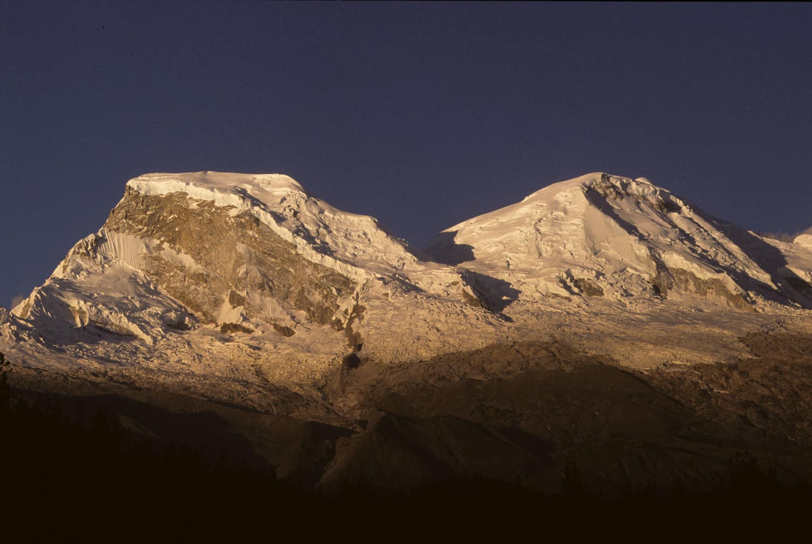
High passes catch first light while glacial valleys still hold cold air. Condors work the ridgelines as you thread camps between ice and stone.
- Duration
- 12 days
- Effort
- Challenging
- Window
- May–Sep
$8,900–$12,500
Detail →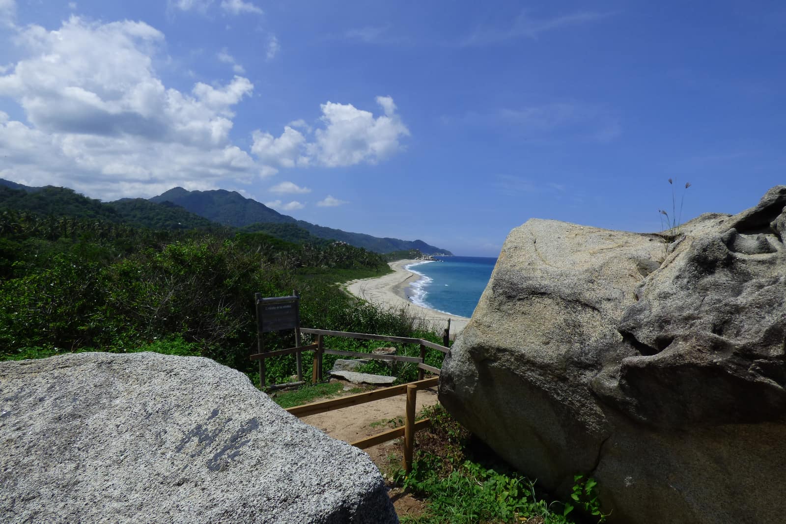
Colombia
Sierra Nevada Caribbean Arc
Sierra Nevada de Santa Marta & Caribbean Coast
Trade winds meet cloud forest on the world's highest coastal range. Authorized mid-elevation trails and Tayrona/Ciudad Perdida corridors—páramo and nevados remain closed sacred territory.
- Duration
- 11 days
- Effort
- Challenging
- Window
- Dec–Mar
$8,500–$12,000
Detail →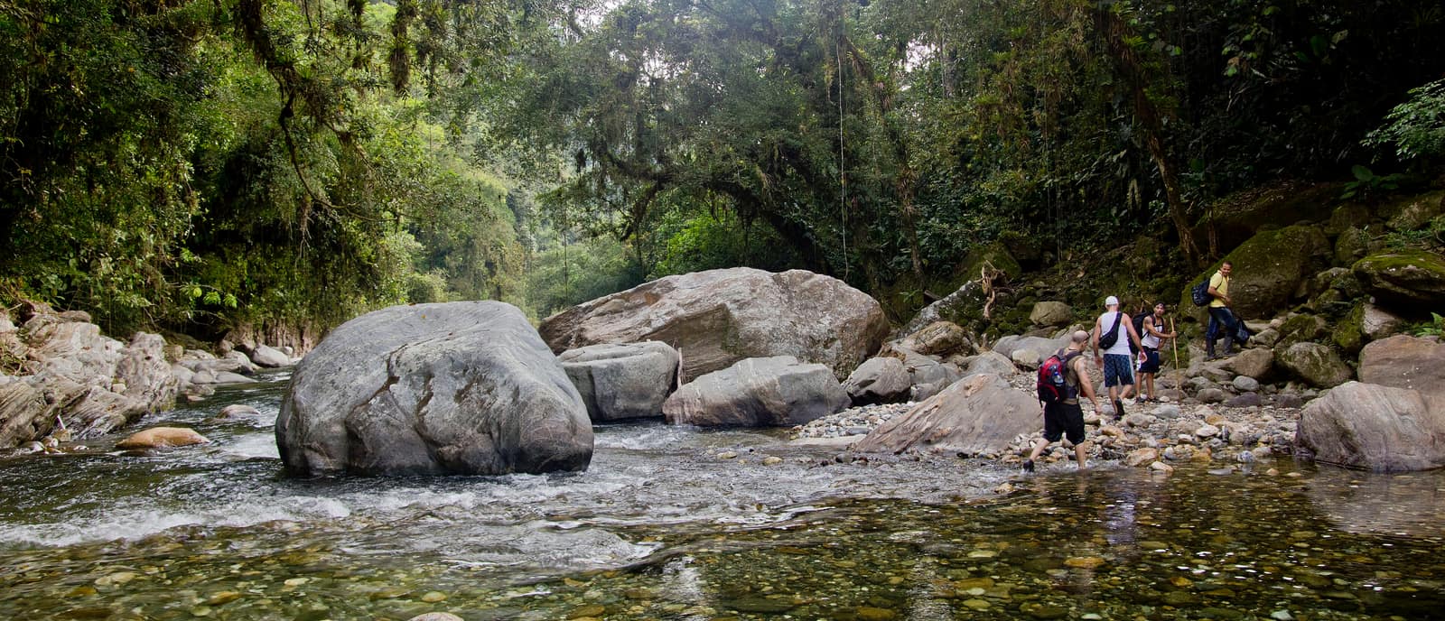
Colombia
Lost City Sierra Ascent
Sierra Nevada de Santa Marta
Multi-day trek to Ciudad Perdida through river crossings and jungle stairs. Stone terraces emerge where the forest breaks.
- Duration
- 7 days
- Effort
- Challenging
- Window
- Dec–Mar
$5,200–$6,800
Detail →From the ground
Frames from this route family and country — not a studio set, and not a promise of identical weather.