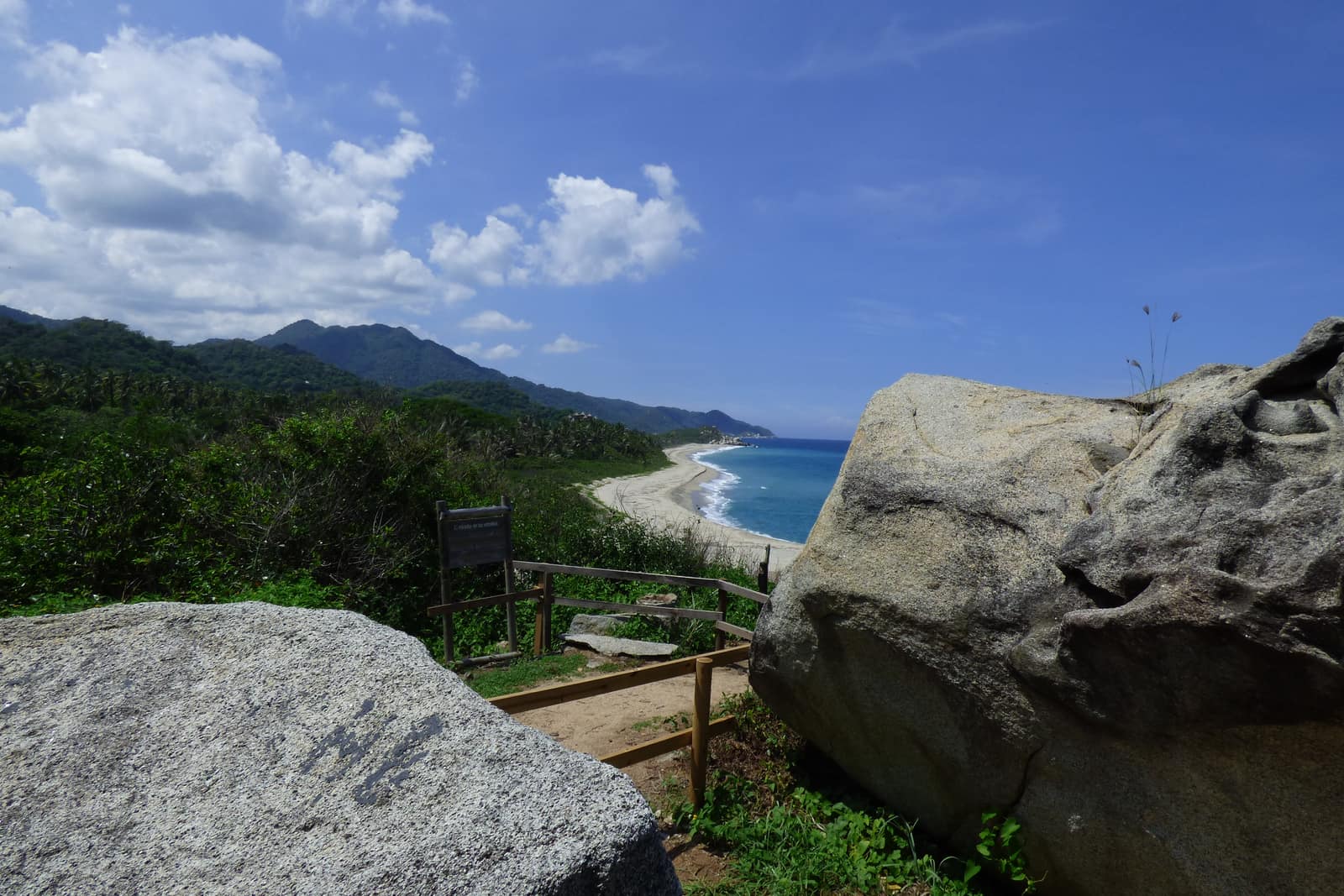
Sierra Nevada Caribbean Arc
Sierra Nevada de Santa Marta & Caribbean Coast
Trade winds meet cloud forest on the world's highest coastal range. Authorized mid-elevation trails and Tayrona/Ciudad Perdida corridors—páramo and nevados remain closed sacred territory.
- Days
- 11
- Effort
- Challenging
- Window
- Dec–Mar
- From
- $8,500
The ground
The Sierra Nevada de Santa Marta is the highest coastal mountain range in the world: Pico Cristóbal Colón and Pico Simón Bolívar reach about 5,700 m roughly 42 km from the Caribbean. You can see snow and palm from the same spot. What you cannot do is walk up it.
The páramo, the high lagoons, and the nevados are closed to tourism by Colombia's park authority and by the Arhuaco, Kogui, Wiwa, and Kankuamo authorities who hold the territory as sacred ground. We say that plainly because other operators still sell the ascent. This itinerary works the authorised corridors below that line, and they are extraordinary on their own terms. No permit exists, and asking for one is the wrong instinct.
So the arc runs coast to cloud forest: Tayrona's granite headlands and dry forest, the Buritaca river route up to Teyuna, and the coffee and cloud-forest belt above Minca where the range starts to hold mist all afternoon. Three ecological zones, one watershed, no false summit promises.
Sierra Nevada de Santa Marta and the Caribbean coast, Magdalena, Colombia. Highest coastal range in the world; summit zone closed to visitors. Working elevation runs Sea level to roughly 1,200–2,000 m on authorised routes. That profile shapes sleep, pace, and how early the group needs to move. The published window: December through March is the primary window; July and August give a shorter second dry spell. The Teyuna archaeological park closes for several weeks each year for indigenous ceremonies and trail recovery, in recent years that has been October, so we verify current dates before confirming anything. Within that window, day order still flexes with weather and access.
The high Sierra, páramo, glacial lagoons, and the nevados, is closed to tourism by Parques Nacionales Naturales and by the four indigenous authorities of the range. There is no permitted route to the summits. Teyuna (Ciudad Perdida) can only be entered with an operator authorised by ICANH and the communities. Guides are mandatory; the trail is unmarked. Private throughout on the coastal and coffee-belt days. The Ciudad Perdida trek itself uses fixed community camps on an authorised operator's permit, so it is semi-private by design: your guide and group are yours, the campsites are shared. This is the operating shape of the trip: private enough to reorder days, constrained enough that permits and local rules still set the ceiling.
Shape of the days
A shape, not a script. Order and pacing move with weather, permits, and how the first days actually go.
Days 1–2
Santa Marta and Tayrona: opening
Days 1–2 continue the Santa Marta and Tayrona block. Arrival and coastal days, Cabo San Juan and the Pueblito trail in Tayrona, dry forest birding at dawn, and the headlands where trade wind meets the range. This opening slice sets the logistics and the first read of the ground before the denser days. Arrival and orientation use the published access picture. The high Sierra, páramo, glacial lagoons, and the nevados, is closed to tourism by Parques Nacionales Naturales and by the four indigenous authorities of the range. There is no permitted route to the summits. Elevation context for the programme: Sea level to roughly 1,200–2,000 m on authorised routes. Sleep and walk length are graded against that, not against a generic fitness brochure. Early days protect the later ones. We do not burn the group on a full-length day before the body has met the altitude, heat, or boat rhythm this route actually uses. The páramo, the high lagoons, and the nevados are closed to tourism by Colombia's park authority and by the Arhuaco, Kogui, Wiwa, and Kankuamo authorities who hold the territory as sacred ground. We say that plainly because other operators still sell the ascent. This itinerary works the authorised corridors below that line, and they are extraordinary on their own terms. No permit exists, and asking for one is the wrong instinct. Geography stays inside Sierra Nevada de Santa Marta and the Caribbean coast, Magdalena, Colombia. Highest coastal range in the world; summit zone closed to visitors. Season logic we plan against: December through March is the primary window; July and August give a shorter second dry spell. The Teyuna archaeological park.
Day 3
Santa Marta and Tayrona: continuation
Day 3 sits inside the 1–3 arc titled Santa Marta and Tayrona. Arrival and coastal days, Cabo San Juan and the Pueblito trail in Tayrona, dry forest birding at dawn, and the headlands where trade wind meets the range. This closing slice of the block consolidates what the earlier days opened, without inventing a new sector. Arrival and orientation use the published access picture. Teyuna (Ciudad Perdida) can only be entered with an operator authorised by ICANH and the communities. Guides are mandatory; the trail is unmarked. Elevation context for the programme: Sea level to roughly 1,200–2,000 m on authorised routes. Sleep and walk length are graded against that, not against a generic fitness brochure. Early days protect the later ones. We do not burn the group on a full-length day before the body has met the altitude, heat, or boat rhythm this route actually uses. We say that plainly because other operators still sell the ascent. This itinerary works the authorised corridors below that line, and they are extraordinary on their own terms. No permit exists, and asking for one is the wrong instinct. Geography stays inside Sierra Nevada de Santa Marta and the Caribbean coast, Magdalena, Colombia. Highest coastal range in the world; summit zone closed to visitors. Season logic we plan against: December through March is the primary window; July and August give a shorter second dry spell. The Teyuna archaeological park closes for several weeks each year for indigenous ceremonies and trail recovery, in recent years that has been October, so we verify current dates before confirming anything. Packing still matters here: Boots with real tread for wet clay, river shoes.
Days 4–5
Ciudad Perdida corridor: first movement
Days 4–5 continue the Ciudad Perdida corridor block. The Teyuna trek up the Buritaca: river crossings, jungle staircases, and the terraces themselves, walked with guides from the communities whose territory the trail crosses. Camps are fixed and shared with other authorised parties. We upgrade what we can and are honest about what we cannot. This opening slice sets the logistics and the first read of the ground before the denser days. Field days stay inside the ground already described for Colombia. So the arc runs coast to cloud forest: Tayrona's granite headlands and dry forest, the Buritaca river route up to Teyuna, and the coffee and cloud-forest belt above Minca where the range starts to hold mist all afternoon. The site closes annually for ceremonies and ecosystem recovery. The month has moved between September and October in recent years and is set by the Mamos, not by the calendar. Private throughout on the coastal and coffee-belt days. Expect a full field day measured in hours on foot, on the water, or in transit between sectors already named above. Private guiding means we can shorten or reorder, not that the underlying constraints disappear. The Sierra Nevada de Santa Marta is the highest coastal mountain range in the world: Pico Cristóbal Colón and Pico Simón Bolívar reach about 5,700 m roughly 42 km from the Caribbean. You can see snow and palm from the same spot. What you cannot do is walk up it. Geography stays inside Sierra Nevada de Santa Marta and the Caribbean coast, Magdalena, Colombia. Highest coastal range in the world; summit zone closed to visitors. Season logic we plan against: December through March.
Days 6–7
Ciudad Perdida corridor: day 6–7
Days 6–7 continue the Ciudad Perdida corridor block. The Teyuna trek up the Buritaca: river crossings, jungle staircases, and the terraces themselves, walked with guides from the communities whose territory the trail crosses. Camps are fixed and shared with other authorised parties. We upgrade what we can and are honest about what we cannot. This middle slice stays inside the same sector already named for the block, with pacing adjusted to how the prior day landed. Field days stay inside the ground already described for Colombia. The Sierra Nevada de Santa Marta is the highest coastal mountain range in the world: Pico Cristóbal Colón and Pico Simón Bolívar reach about 5,700 m roughly 42 km from the Caribbean. The high Sierra, páramo, glacial lagoons, and the nevados, is closed to tourism by Parques Nacionales Naturales and by the four indigenous authorities of the range. There is no permitted route to the summits. Private throughout on the coastal and coffee-belt days. Expect a full field day measured in hours on foot, on the water, or in transit between sectors already named above. Private guiding means we can shorten or reorder, not that the underlying constraints disappear. You can see snow and palm from the same spot. What you cannot do is walk up it. Geography stays inside Sierra Nevada de Santa Marta and the Caribbean coast, Magdalena, Colombia. Highest coastal range in the world; summit zone closed to visitors. Season logic we plan against: December through March is the primary window; July and August give a shorter second dry spell. The Teyuna archaeological park closes for several weeks each year for indigenous ceremonies and trail recovery,.
Day 8
Ciudad Perdida corridor: closing movement
Day 8 sits inside the 4–8 arc titled Ciudad Perdida corridor. The Teyuna trek up the Buritaca: river crossings, jungle staircases, and the terraces themselves, walked with guides from the communities whose territory the trail crosses. Camps are fixed and shared with other authorised parties. We upgrade what we can and are honest about what we cannot. This closing slice of the block consolidates what the earlier days opened, without inventing a new sector. Field days stay inside the ground already described for Colombia. The páramo, the high lagoons, and the nevados are closed to tourism by Colombia's park authority and by the Arhuaco, Kogui, Wiwa, and Kankuamo authorities who hold the territory as sacred ground. Teyuna (Ciudad Perdida) can only be entered with an operator authorised by ICANH and the communities. Guides are mandatory; the trail is unmarked. Private throughout on the coastal and coffee-belt days. Expect a full field day measured in hours on foot, on the water, or in transit between sectors already named above. Private guiding means we can shorten or reorder, not that the underlying constraints disappear. We say that plainly because other operators still sell the ascent. This itinerary works the authorised corridors below that line, and they are extraordinary on their own terms. No permit exists, and asking for one is the wrong instinct. Geography stays inside Sierra Nevada de Santa Marta and the Caribbean coast, Magdalena, Colombia. Highest coastal range in the world; summit zone closed to visitors. Season logic we plan against: December through March is the primary window; July and August give a shorter second dry spell. The Teyuna archaeological park closes for several weeks.
Day 9
Coffee belt and cloud forest: opening
Day 9 sits inside the 9–10 arc titled Coffee belt and cloud forest. Minca and the Palomino foothills, working coffee and cacao fincas, cloud-forest birding for Santa Marta endemics, and the Río Frío pools. No páramo entry. This opening slice sets the logistics and the first read of the ground before the denser days. Field days stay inside the ground already described for Colombia. So the arc runs coast to cloud forest: Tayrona's granite headlands and dry forest, the Buritaca river route up to Teyuna, and the coffee and cloud-forest belt above Minca where the range starts to hold mist all afternoon. The site closes annually for ceremonies and ecosystem recovery. The month has moved between September and October in recent years and is set by the Mamos, not by the calendar. Private throughout on the coastal and coffee-belt days. Expect a full field day measured in hours on foot, on the water, or in transit between sectors already named above. Private guiding means we can shorten or reorder, not that the underlying constraints disappear. The Sierra Nevada de Santa Marta is the highest coastal mountain range in the world: Pico Cristóbal Colón and Pico Simón Bolívar reach about 5,700 m roughly 42 km from the Caribbean. You can see snow and palm from the same spot. What you cannot do is walk up it. Geography stays inside Sierra Nevada de Santa Marta and the Caribbean coast, Magdalena, Colombia. Highest coastal range in the world; summit zone closed to visitors. Season logic we plan against: December through March is the primary window; July and August give a shorter second dry spell. The Teyuna archaeological park.
Day 10
Coffee belt and cloud forest: continuation
Day 10 sits inside the 9–10 arc titled Coffee belt and cloud forest. Minca and the Palomino foothills, working coffee and cacao fincas, cloud-forest birding for Santa Marta endemics, and the Río Frío pools. No páramo entry. This closing slice of the block consolidates what the earlier days opened, without inventing a new sector. Field days stay inside the ground already described for Colombia. The Sierra Nevada de Santa Marta is the highest coastal mountain range in the world: Pico Cristóbal Colón and Pico Simón Bolívar reach about 5,700 m roughly 42 km from the Caribbean. The high Sierra, páramo, glacial lagoons, and the nevados, is closed to tourism by Parques Nacionales Naturales and by the four indigenous authorities of the range. There is no permitted route to the summits. Private throughout on the coastal and coffee-belt days. Expect a full field day measured in hours on foot, on the water, or in transit between sectors already named above. Private guiding means we can shorten or reorder, not that the underlying constraints disappear. You can see snow and palm from the same spot. What you cannot do is walk up it. Geography stays inside Sierra Nevada de Santa Marta and the Caribbean coast, Magdalena, Colombia. Highest coastal range in the world; summit zone closed to visitors. Season logic we plan against: December through March is the primary window; July and August give a shorter second dry spell. The Teyuna archaeological park closes for several weeks each year for indigenous ceremonies and trail recovery, in recent years that has been October, so we verify current dates before confirming anything. For kit on these days: Boots with.
Day 11
Exit Santa Marta
Day 11 sits inside the 11 arc titled Exit Santa Marta. Coastal morning and transfer to Santa Marta or Barranquilla. The day order inside this block can shift when weather or access forces a rewrite. Exit logistics follow the same transfer pattern already built into the programme. The site closes annually for ceremonies and ecosystem recovery. The month has moved between September and October in recent years and is set by the Mamos, not by the calendar. International connections should leave buffer after the last field day; late-evening flights only when the ground day is genuinely short. The last day is deliberately lighter where the catalogue allows it, so extraction does not collide with a hard physical ask. So the arc runs coast to cloud forest: Tayrona's granite headlands and dry forest, the Buritaca river route up to Teyuna, and the coffee and cloud-forest belt above Minca where the range starts to hold mist all afternoon. Three ecological zones, one watershed, no false summit promises. Geography stays inside Sierra Nevada de Santa Marta and the Caribbean coast, Magdalena, Colombia. Highest coastal range in the world; summit zone closed to visitors. Season logic we plan against: December through March is the primary window; July and August give a shorter second dry spell. The Teyuna archaeological park closes for several weeks each year for indigenous ceremonies and trail recovery, in recent years that has been October, so we verify current dates before confirming anything. Packing still matters here: Boots with real tread for wet clay, river shoes for the unbridged crossings, and quick-dry layers because cotton does not recover here.
Conditions
Hot and humid at the coast, 28–32 °C. The trek is the physical crux: sustained humidity, mud, and unbridged river crossings that rise fast after rain. Cooler and wetter above 1,200 m in Minca. December to March is the drier window; heavy rain sets in from about mid-September.
Fitness bar
Challenging, from heat, humidity, and mud rather than altitude. The Teyuna trek runs four to five days of five to seven hours with steep, slick gradient and roughly 1,200 stone steps at the site itself. Coastal and coffee-belt days are moderate.
Best months
December through March is the primary window; July and August give a shorter second dry spell. The Teyuna archaeological park closes for several weeks each year for indigenous ceremonies and trail recovery, in recent years that has been October, so we verify current dates before confirming anything.
Private or small group
Private throughout on the coastal and coffee-belt days. The Ciudad Perdida trek itself uses fixed community camps on an authorised operator's permit, so it is semi-private by design: your guide and group are yours, the campsites are shared.
What to bring
Boots with real tread for wet clay, river shoes for the unbridged crossings, and quick-dry layers because cotton does not recover here. Dry bags for the trek. Carry cash for community shops and tolls that take nothing else.
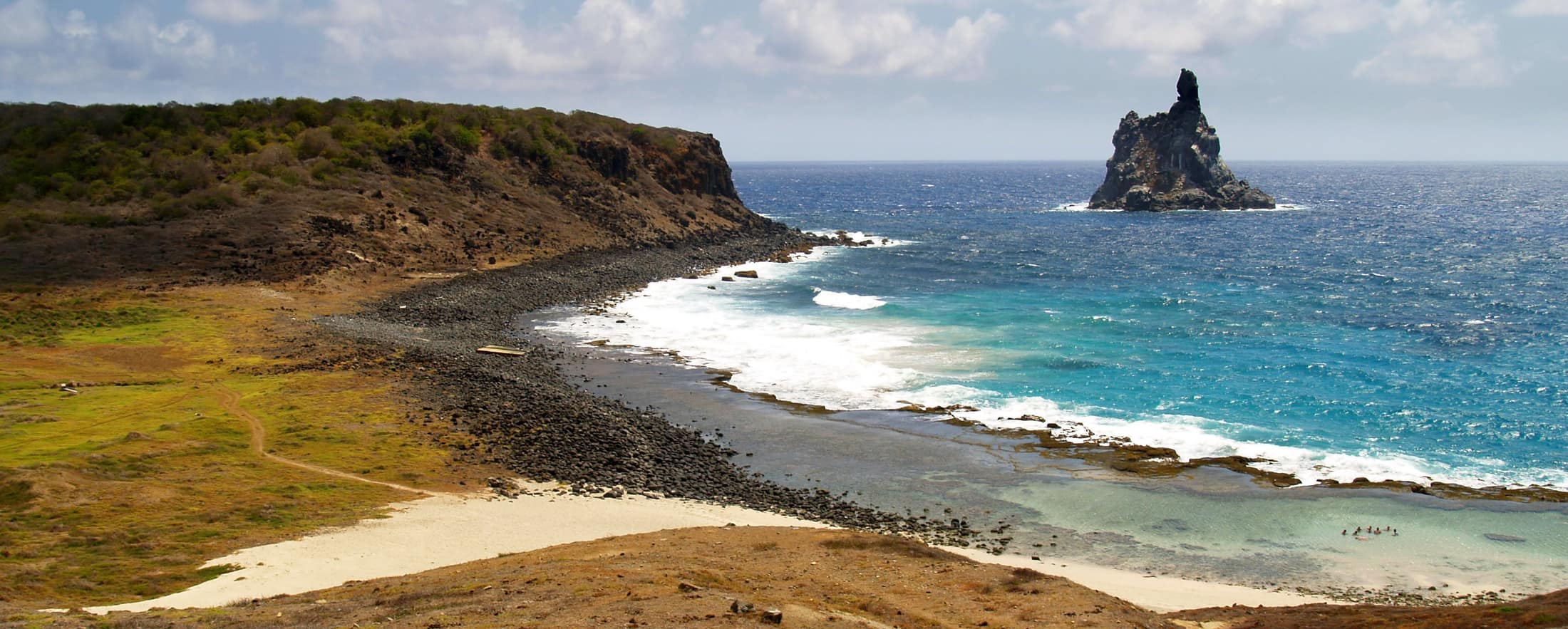
Coasts & Islands
Access and permits
The constraints that actually decide whether a date is possible.
- The high Sierra, páramo, glacial lagoons, and the nevados, is closed to tourism by Parques Nacionales Naturales and by the four indigenous authorities of the range. There is no permitted route to the summits.
- Teyuna (Ciudad Perdida) can only be entered with an operator authorised by ICANH and the communities. Guides are mandatory; the trail is unmarked.
- The site closes annually for ceremonies and ecosystem recovery. The month has moved between September and October in recent years and is set by the Mamos, not by the calendar.
Included
- Authorised Teyuna trek operator, ICANH site fees, and community access payments
- Guides from the Wiwa and Kogui communities on the trek, alongside a private lead guide
- Tayrona park entry and all coastal and Minca lodging
- All transfers from Santa Marta, all meals on trek
- Daily field briefings with the lead guide before departure
Not included
- International flights
- Any páramo, high-lagoon, or nevado access, closed territory, not available at any price
- Unauthorised or off-corridor sacred sites
- Helicopter access to the site, which we will not arrange
- Personal insurance, including medical and evacuation cover
What the price reflects
Eleven days at $8,500–12,000 buys private guiding, strong coastal and Minca lodging, and the authorised private-party trek permit. For context, a standard group Ciudad Perdida trek sells locally for a few hundred dollars, that is a different product with shared guides and no coastal or cloud-forest programme, and we would rather you knew that than found out later. What moves a quote inside that picture is party size, season, and the lodge or camp class actually available for your dates. Private throughout on the coastal and coffee-belt days. The Ciudad Perdida trek itself uses fixed community camps on an authorised operator's permit, so it is semi-private by design: your guide and group are yours, the campsites are shared. On the included side, the band already assumes items such as: Authorised Teyuna trek operator, ICANH site fees, and community access payments; Guides from the Wiwa and Kogui communities on the trek, alongside a private lead guide; Tayrona park entry and all coastal and Minca lodging. Still outside the band unless we write them in: International flights; Any páramo, high-lagoon, or nevado access, closed territory, not available at any price; Unauthorised or off-corridor sacred sites. Nothing is confirmed until it is confirmed in writing.
- Party size
- Per-person cost usually falls as the private team is shared across more guests, up to the format limit implied by the guiding and lodge picture. Private throughout on the coastal and coffee-belt days.
- Season and dates
- Window on the card: Dec–Mar. Planning note: December through March is the primary window; July and August give a shorter second dry spell. The Teyuna archaeological park closes for several weeks each year for indigenous ceremonies and trail recovery, in recent years that has been October, so we verify current dates before confirming anything. Peak dates inside that window tighten lodge and permit availability, which is what usually pushes a quote toward the top of a published band.
- Lodge or camp class
- Where you sleep (lodge, tented camp, or station) is one of the largest levers once guiding is fixed. We price the class we can actually hold for your dates.
- Internal transport
- Transfers and regional legs follow the trip design. Watch for: International flights. Charter or peak-season domestic seats, where they apply, sit outside a simple road transfer.
- Permits and access
- Access cost tracks what the ground already requires. Tayrona park entry and all coastal and Minca lodging We do not invent fee figures beyond what the catalogue already states.
- Outside the band
- Not assumed unless written in: International flights; Any páramo, high-lagoon, or nevado access, closed territory, not available at any price; Unauthorised or off-corridor sacred sites.
Bands are per person sharing and move with party size, season, and lodge choice. Nothing is confirmed until it is confirmed in writing. How we price.
Where this is
Sierra Nevada de Santa Marta and the Caribbean coast, Magdalena, Colombia. Highest coastal range in the world; summit zone closed to visitors.
Elevation: Sea level to roughly 1,200–2,000 m on authorised routes. Season as published: Dec–Mar. Difficulty as assessed: Challenging.
What we checked
Seasons, altitudes, permits, and caps on this page were checked against park authorities, monitoring agencies, and operators on the ground. Where a fact changes with the year, we say so rather than round it off.
Near this
Same terrain, different week
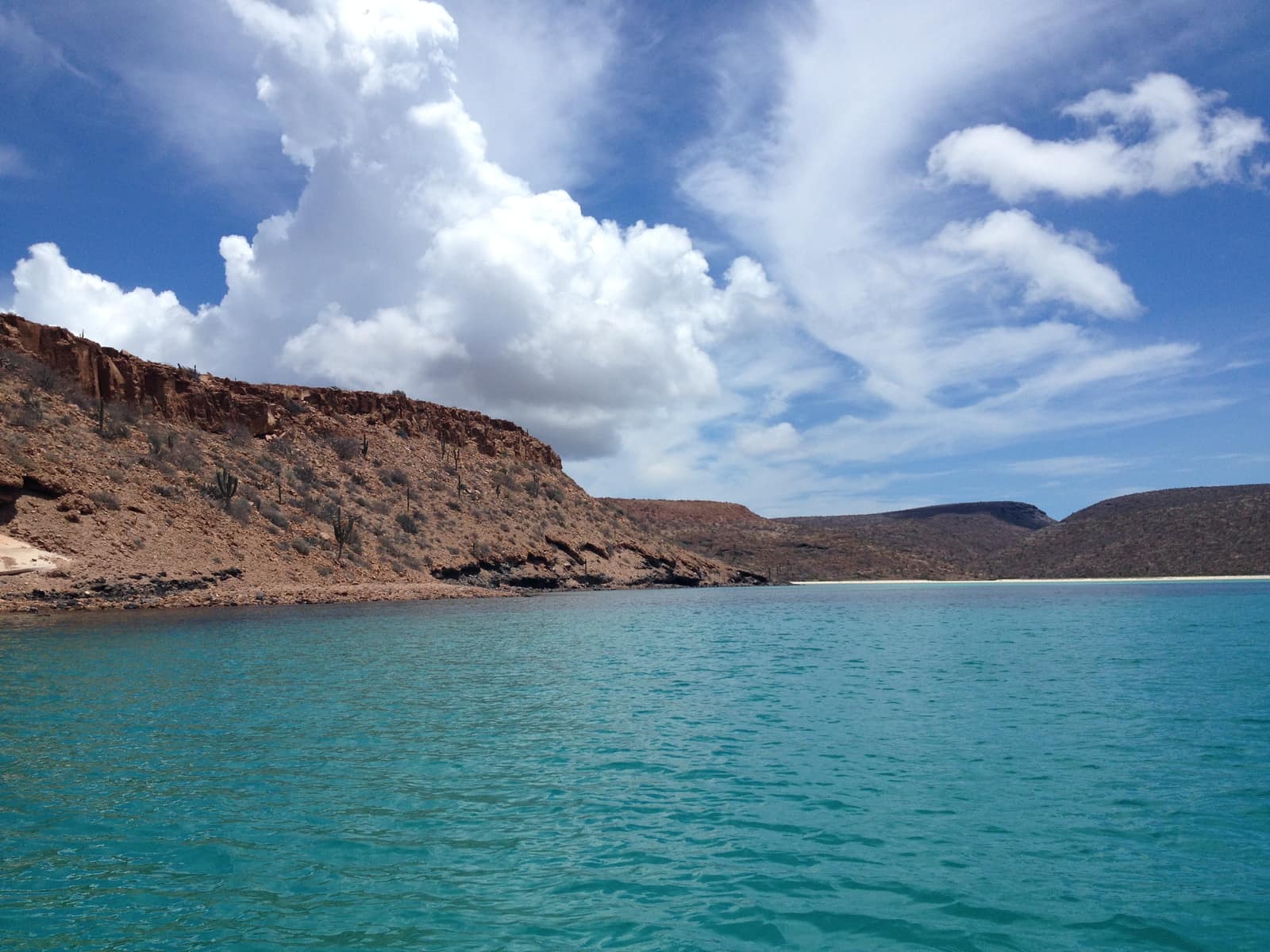
Mexico
Baja Sea of Cortez Crossing
Loreto to La Paz
Kayak past sea lions on desert islands while whale breath plumes the channel. Camp on beaches where the desert meets deep blue water.
- Duration
- 9 days
- Effort
- Moderate
- Window
- Oct–Nov & Mar–Apr
$7,800–$11,200
Detail →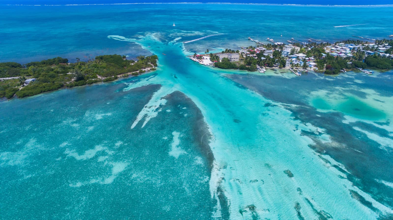
Belize
Belize Barrier Reef Circuit
Ambergris Caye to South Reef
Clear water over living coral walls; rays lift off sand as you drift the cut. Evenings bring trade wind and the smell of salt on wood decks.
- Duration
- 8 days
- Effort
- Easy
- Window
- Nov–Jun
$5,800–$8,900
Detail →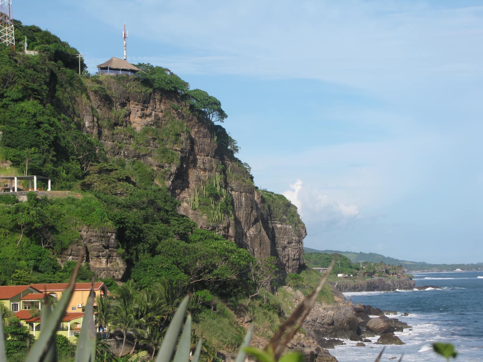
El Salvador
Salvador Pacific Surf Coast
La Libertad to El Tunco
Consistent Pacific swell peels off black-sand points. Between sessions, tide pools and cliff paths catch the late light.
- Duration
- 7 days
- Effort
- Easy
- Window
- Mar–Oct
$4,600–$7,200
Detail →From the ground
Frames from this route family and country — not a studio set, and not a promise of identical weather.