Dominican Cordillera Traverse
Cordillera Central (Pico Duarte)
Caribbean's highest peaks hold pine and cloud. Pico Duarte's summit push starts cold; valleys drop toward rivers that run clear.
- Days
- 8
- Effort
- Challenging
- Window
- Dec–Apr
- From
- $5,600
The ground
Pico Duarte at 3,098 m is the highest point in the Caribbean, and almost nobody outside the island knows it exists. The standard route from La Ciénaga is 23 km each way with about 2,300 m of ascent, done over two or three days with mule support and a night at the La Compartición camp at 2,450 m.
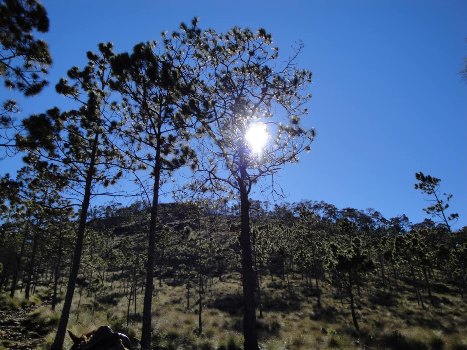
The forest changes as you climb, and the top is genuinely surprising: Hispaniolan pine, frost on the grass before dawn, and recorded temperatures below −5 °C. People arrive with Caribbean expectations and a Caribbean sleeping bag, and regret it.
Below the range, the Cordillera Central is the island's water tower, Jarabacoa and Constanza sit in cool valleys at 500–1,200 m where the rivers run clear and the agriculture is strawberries and coffee rather than sugar.
Cordillera Central and Pico Duarte, 3,098 m, the highest point in the Caribbean. Dominican Republic. Working elevation runs Jarabacoa 530 m · La Compartición camp 2,450 m · Pico Duarte 3,098 m. That profile shapes sleep, pace, and how early the group needs to move. The published window: December through April. Avoid the August-to-October cyclone window. Within that window, day order still flexes with weather and access.
Access requires a permit and a park guide from Armando Bermúdez or José del Carmen Ramírez national park; independent ascent is not permitted. La Compartición is a basic shared shelter with bunks and a cook house. Bring or borrow a bag rated to freezing. Private guiding with park guides and mule support, staying in Jarabacoa lodges and the mountain camp. The camp is a shared shelter. That is the only accommodation up there. This is the operating shape of the trip: private enough to reorder days, constrained enough that permits and local rules still set the ceiling.
Shape of the days
A shape, not a script. Order and pacing move with weather, permits, and how the first days actually go.
Day 1
Jarabacoa: opening
Day 1 sits inside the 1–2 arc titled Jarabacoa. Arrival in the highlands, kit and permit check, and the Jimenoa and Baiguate waterfalls to get the legs moving. This opening slice sets the logistics and the first read of the ground before the denser days. Arrival and orientation use the published access picture. Access requires a permit and a park guide from Armando Bermúdez or José del Carmen Ramírez national park; independent ascent is not permitted. Elevation context for the programme: Jarabacoa 530 m · La Compartición camp 2,450 m · Pico Duarte 3,098 m. Sleep and walk length are graded against that, not against a generic fitness brochure. Early days protect the later ones. We do not burn the group on a full-length day before the body has met the altitude, heat, or boat rhythm this route actually uses. The forest changes as you climb, and the top is genuinely surprising: Hispaniolan pine, frost on the grass before dawn, and recorded temperatures below −5 °C. People arrive with Caribbean expectations and a Caribbean sleeping bag, and regret it. Geography stays inside Cordillera Central and Pico Duarte, 3,098 m, the highest point in the Caribbean. Dominican Republic. Season logic we plan against: December through April. Avoid the August-to-October cyclone window. Packing still matters here: This is the one people underpack for.
Day 2
Jarabacoa: continuation
Day 2 sits inside the 1–2 arc titled Jarabacoa. Arrival in the highlands, kit and permit check, and the Jimenoa and Baiguate waterfalls to get the legs moving. This closing slice of the block consolidates what the earlier days opened, without inventing a new sector. Arrival and orientation use the published access picture. La Compartición is a basic shared shelter with bunks and a cook house. Bring or borrow a bag rated to freezing. Elevation context for the programme: Jarabacoa 530 m · La Compartición camp 2,450 m · Pico Duarte 3,098 m. Sleep and walk length are graded against that, not against a generic fitness brochure. Early days protect the later ones. We do not burn the group on a full-length day before the body has met the altitude, heat, or boat rhythm this route actually uses. People arrive with Caribbean expectations and a Caribbean sleeping bag, and regret it. Geography stays inside Cordillera Central and Pico Duarte, 3,098 m, the highest point in the Caribbean. Dominican Republic. Season logic we plan against: December through April. Avoid the August-to-October cyclone window. Packing still matters here: This is the one people underpack for.
Days 3–4
Pico Duarte approach: opening
Days 3–4 continue the Pico Duarte approach block. La Ciénaga to La Compartición with mule support, then the pre-dawn summit push to 3,098 m for sunrise, and back down to camp. This opening slice sets the logistics and the first read of the ground before the denser days. This is the denser stretch. Access requires a permit and a park guide from Armando Bermúdez or José del Carmen Ramírez national park; independent ascent is not permitted. Fitness for the block: Challenging. Two long days of 20+ km with 2,300 m of cumulative ascent on rocky, eroded trail, plus a cold camp and a pre-dawn summit. Conditions: Warm in the valleys at 20–28 °C; genuinely cold on the mountain, with frost at the camp and sub-zero nights possible in January and February. Expect a full field day measured in hours on foot, on the water, or in transit between sectors already named above. Private guiding means we can shorten or reorder, not that the underlying constraints disappear. Pico Duarte at 3,098 m is the highest point in the Caribbean, and almost nobody outside the island knows it exists. The standard route from La Ciénaga is 23 km each way with about 2,300 m of ascent, done over two or three days with mule support and a night at the La Compartición camp at 2,450 m. Geography stays inside Cordillera Central and Pico Duarte, 3,098 m, the highest point in the Caribbean. Dominican Republic. Season logic we plan against: December through April. Avoid the August-to-October cyclone window. For kit on these days: This is the one people underpack for.
Day 5
Pico Duarte approach: continuation
Day 5 sits inside the 3–5 arc titled Pico Duarte approach. La Ciénaga to La Compartición with mule support, then the pre-dawn summit push to 3,098 m for sunrise, and back down to camp. This closing slice of the block consolidates what the earlier days opened, without inventing a new sector. This is the denser stretch. La Compartición is a basic shared shelter with bunks and a cook house. Bring or borrow a bag rated to freezing. Fitness for the block: Challenging. Two long days of 20+ km with 2,300 m of cumulative ascent on rocky, eroded trail, plus a cold camp and a pre-dawn summit. Conditions: Warm in the valleys at 20–28 °C; genuinely cold on the mountain, with frost at the camp and sub-zero nights possible in January and February. Expect a full field day measured in hours on foot, on the water, or in transit between sectors already named above. Private guiding means we can shorten or reorder, not that the underlying constraints disappear. The standard route from La Ciénaga is 23 km each way with about 2,300 m of ascent, done over two or three days with mule support and a night at the La Compartición camp at 2,450 m. Geography stays inside Cordillera Central and Pico Duarte, 3,098 m, the highest point in the Caribbean. Dominican Republic. Season logic we plan against: December through April. Avoid the August-to-October cyclone window. For kit on these days: This is the one people underpack for.
Day 6
Constanza and the valleys: opening
Day 6 sits inside the 6–7 arc titled Constanza and the valleys. Descent, then the Valle Nuevo plateau and Constanza's cool-climate farms and cloud forest. This opening slice sets the logistics and the first read of the ground before the denser days. Field days stay inside the ground already described for Dominican Republic. The forest changes as you climb, and the top is genuinely surprising: Hispaniolan pine, frost on the grass before dawn, and recorded temperatures below −5 °C. Access requires a permit and a park guide from Armando Bermúdez or José del Carmen Ramírez national park; independent ascent is not permitted. Private guiding with park guides and mule support, staying in Jarabacoa lodges and the mountain camp. Expect a full field day measured in hours on foot, on the water, or in transit between sectors already named above. Private guiding means we can shorten or reorder, not that the underlying constraints disappear. Below the range, the Cordillera Central is the island's water tower, Jarabacoa and Constanza sit in cool valleys at 500–1,200 m where the rivers run clear and the agriculture is strawberries and coffee rather than sugar. Geography stays inside Cordillera Central and Pico Duarte, 3,098 m, the highest point in the Caribbean. Dominican Republic. Season logic we plan against: December through April. Avoid the August-to-October cyclone window. For kit on these days: This is the one people underpack for.
Day 7
Constanza and the valleys: continuation
Day 7 sits inside the 6–7 arc titled Constanza and the valleys. Descent, then the Valle Nuevo plateau and Constanza's cool-climate farms and cloud forest. This closing slice of the block consolidates what the earlier days opened, without inventing a new sector. Field days stay inside the ground already described for Dominican Republic. Below the range, the Cordillera Central is the island's water tower, Jarabacoa and Constanza sit in cool valleys at 500–1,200 m where the rivers run clear and the agriculture is strawberries and coffee rather than sugar. La Compartición is a basic shared shelter with bunks and a cook house. Bring or borrow a bag rated to freezing. Private guiding with park guides and mule support, staying in Jarabacoa lodges and the mountain camp. Expect a full field day measured in hours on foot, on the water, or in transit between sectors already named above. Private guiding means we can shorten or reorder, not that the underlying constraints disappear. Pico Duarte at 3,098 m is the highest point in the Caribbean, and almost nobody outside the island knows it exists. The standard route from La Ciénaga is 23 km each way with about 2,300 m of ascent, done over two or three days with mule support and a night at the La Compartición camp at 2,450 m. Geography stays inside Cordillera Central and Pico Duarte, 3,098 m, the highest point in the Caribbean. Dominican Republic. Season logic we plan against: December through April. Avoid the August-to-October cyclone window. For kit on these days: This is the one people underpack for.
Day 8
Exit
Day 8 sits inside the 8 arc titled Exit. Transfer to Santiago or Santo Domingo. The day order inside this block can shift when weather or access forces a rewrite. Exit logistics follow the same transfer pattern already built into the programme. La Compartición is a basic shared shelter with bunks and a cook house. Bring or borrow a bag rated to freezing. International connections should leave buffer after the last field day; late-evening flights only when the ground day is genuinely short. The last day is deliberately lighter where the catalogue allows it, so extraction does not collide with a hard physical ask. The forest changes as you climb, and the top is genuinely surprising: Hispaniolan pine, frost on the grass before dawn, and recorded temperatures below −5 °C. People arrive with Caribbean expectations and a Caribbean sleeping bag, and regret it. Geography stays inside Cordillera Central and Pico Duarte, 3,098 m, the highest point in the Caribbean. Dominican Republic. Season logic we plan against: December through April. Avoid the August-to-October cyclone window. Packing still matters here: This is the one people underpack for.
Conditions
Warm in the valleys at 20–28 °C; genuinely cold on the mountain, with frost at the camp and sub-zero nights possible in January and February. December to April is drier. Hurricane risk runs August to October.
Fitness bar
Challenging. Two long days of 20+ km with 2,300 m of cumulative ascent on rocky, eroded trail, plus a cold camp and a pre-dawn summit. Non-technical but a real endurance day.
Best months
December through April. Avoid the August-to-October cyclone window.
Private or small group
Private guiding with park guides and mule support, staying in Jarabacoa lodges and the mountain camp. The camp is a shared shelter. That is the only accommodation up there.
What to bring
This is the one people underpack for. Bring or borrow a bag rated to freezing for La Compartición at 2,450 m, plus hat, gloves, and a warm layer for a pre-dawn summit at 3,098 m. Boots for eroded rocky trail; mules carry the rest.
Coasts & Islands
Access and permits
The constraints that actually decide whether a date is possible.
- Access requires a permit and a park guide from Armando Bermúdez or José del Carmen Ramírez national park; independent ascent is not permitted.
- La Compartición is a basic shared shelter with bunks and a cook house. Bring or borrow a bag rated to freezing.
Included
- Armando Bermúdez park permits and mandatory park guide
- Mules for kit and provisions, cook on the mountain
- Mountain camp accommodation and all meals
- Jarabacoa and Constanza lodging, all transfers
- Daily field briefings with the lead guide before departure
Not included
- International flights
- Private accommodation on the mountain, there is none
- Cold-weather sleeping bags unless requested, which we strongly recommend
- Personal insurance, including medical and evacuation cover
- Tips for guides and lodge staff, which remain optional and separate
What the price reflects
$5,600–8,400 for eight days covers permits, park guides, mules and a cook, the mountain camp, and good lodging in the valleys either side. Local group ascents are available for a few hundred dollars and use the same trail and camp. What moves a quote inside that picture is party size, season, and the lodge or camp class actually available for your dates. Private guiding with park guides and mule support, staying in Jarabacoa lodges and the mountain camp. The camp is a shared shelter. That is the only accommodation up there. On the included side, the band already assumes items such as: Armando Bermúdez park permits and mandatory park guide; Mules for kit and provisions, cook on the mountain; Mountain camp accommodation and all meals. Still outside the band unless we write them in: International flights; Private accommodation on the mountain, there is none; Cold-weather sleeping bags unless requested, which we strongly recommend. Nothing is confirmed until it is confirmed in writing.
- Party size
- Per-person cost usually falls as the private team is shared across more guests, up to the format limit implied by the guiding and lodge picture. Private guiding with park guides and mule support, staying in Jarabacoa lodges and the mountain camp.
- Season and dates
- Window on the card: Dec–Apr. Planning note: December through April. Avoid the August-to-October cyclone window. Peak dates inside that window tighten lodge and permit availability, which is what usually pushes a quote toward the top of a published band.
- Lodge or camp class
- Accommodation in the band reflects: Mountain camp accommodation and all meals. Moving up or down a class, or shifting to a scarcer property, changes the quote without changing the route.
- Internal transport
- Transfers and regional legs follow the trip design. Watch for: International flights. Charter or peak-season domestic seats, where they apply, sit outside a simple road transfer.
- Permits and access
- Access cost tracks what the ground already requires. Armando Bermúdez park permits and mandatory park guide We do not invent fee figures beyond what the catalogue already states.
- Outside the band
- Not assumed unless written in: International flights; Private accommodation on the mountain, there is none; Cold-weather sleeping bags unless requested, which we strongly recommend.
Bands are per person sharing and move with party size, season, and lodge choice. Nothing is confirmed until it is confirmed in writing. How we price.
Where this is
Cordillera Central and Pico Duarte, 3,098 m, the highest point in the Caribbean. Dominican Republic.
Elevation: Jarabacoa 530 m · La Compartición camp 2,450 m · Pico Duarte 3,098 m. Season as published: December–April (drier); hurricane risk Aug–Oct. Difficulty as assessed: Challenging.
What we checked
Seasons, altitudes, permits, and caps on this page were checked against park authorities, monitoring agencies, and operators on the ground. Where a fact changes with the year, we say so rather than round it off.
Near this
Same terrain, different week
Colombia
Sierra Nevada Caribbean Arc
Sierra Nevada de Santa Marta & Caribbean Coast
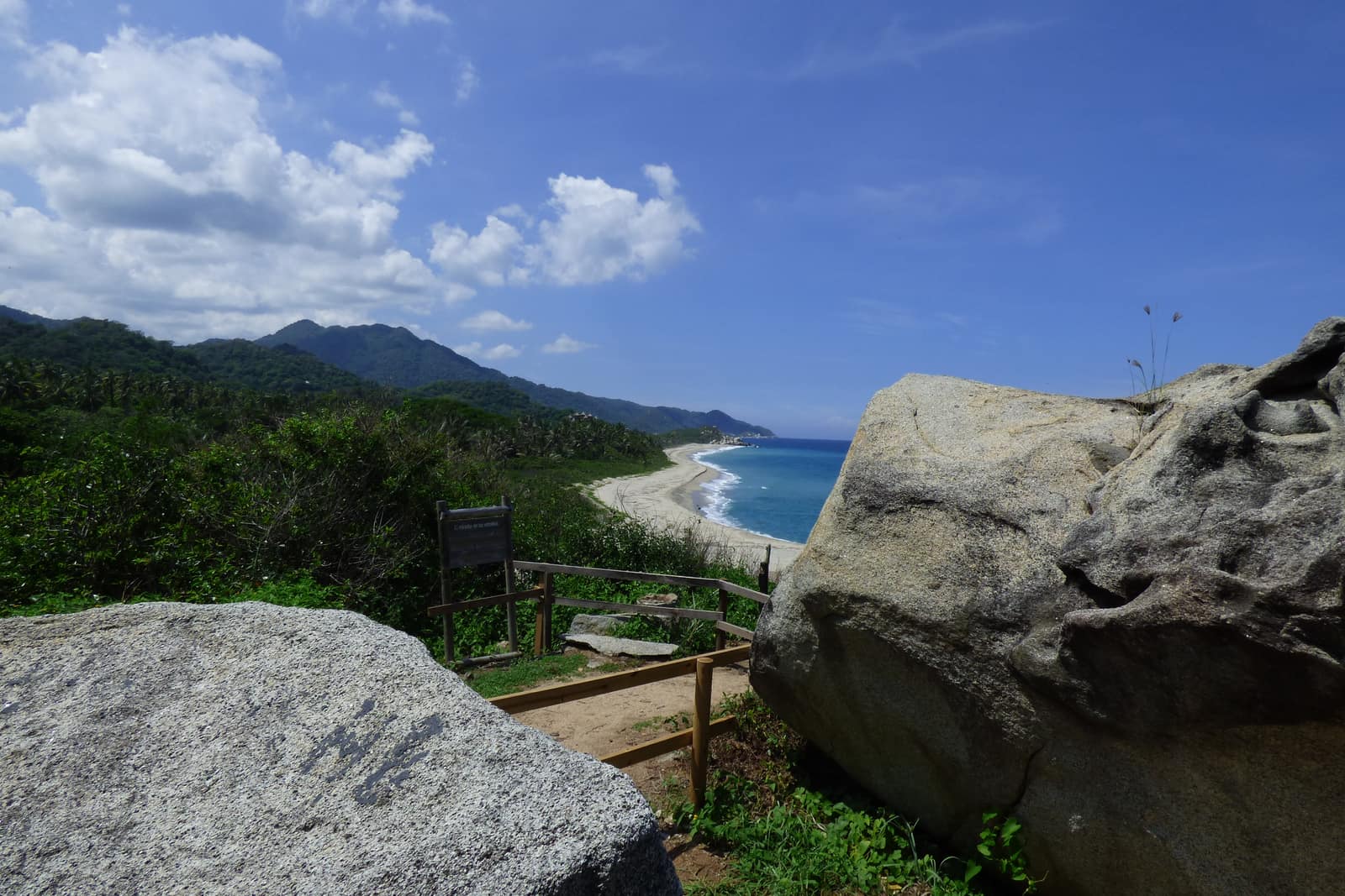
Trade winds meet cloud forest on the world's highest coastal range. Authorized mid-elevation trails and Tayrona/Ciudad Perdida corridors—páramo and nevados remain closed sacred territory.
- Duration
- 11 days
- Effort
- Challenging
- Window
- Dec–Mar
$8,500–$12,000
Detail →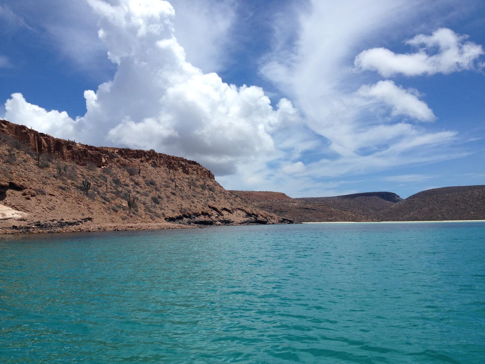
Mexico
Baja Sea of Cortez Crossing
Loreto to La Paz
Kayak past sea lions on desert islands while whale breath plumes the channel. Camp on beaches where the desert meets deep blue water.
- Duration
- 9 days
- Effort
- Moderate
- Window
- Oct–Nov & Mar–Apr
$7,800–$11,200
Detail →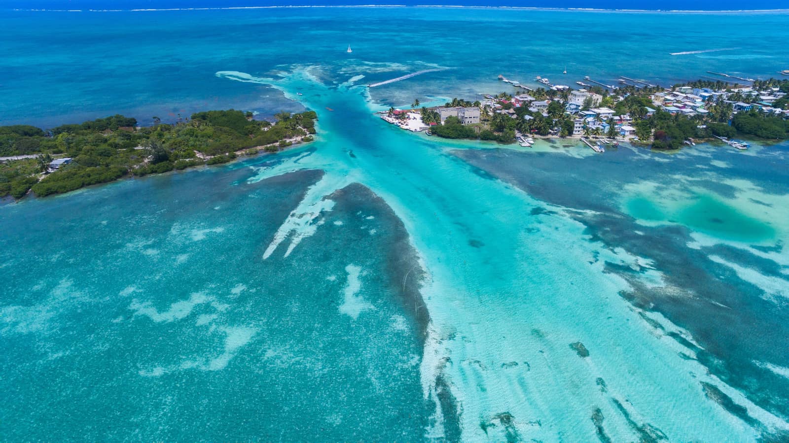
Belize
Belize Barrier Reef Circuit
Ambergris Caye to South Reef
Clear water over living coral walls; rays lift off sand as you drift the cut. Evenings bring trade wind and the smell of salt on wood decks.
- Duration
- 8 days
- Effort
- Easy
- Window
- Nov–Jun
$5,800–$8,900
Detail →From the ground
Frames from this route family and country — not a studio set, and not a promise of identical weather.