Salta Quebrada Traverse
Quebrada de Humahuaca & Noroeste Argentino (Salta/Jujuy)
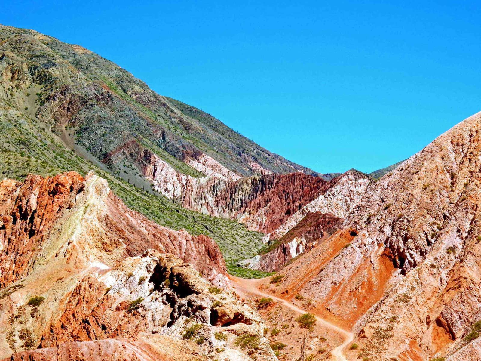
Striped canyon walls shift color with the sun. High desert villages hold adobe churches; night skies run clear and cold.
- Days
- 8
- Effort
- Moderate
- Window
- Apr–Nov
- From
- $5,400
The ground
The Quebrada de Humahuaca is a UNESCO cultural landscape because it has been a trade corridor for around 10,000 years, a natural north-south passage through the Andes used by pre-Hispanic caravans, then the Inca road, then the Spanish silver route. The colour in the rock is the surface of that story, not the point of it.
Two geological set pieces stand out. The Cerro de los Siete Colores at Purmamarca is the famous one; the Serranía del Hornocal above Humahuaca at 4,350 m is the better one. A folded limestone ridge in fourteen bands that most itineraries skip because the road up is rough.
West of the Quebrada, the Salinas Grandes salt flat sits at 3,450 m, and south of Salta the Calchaquí valleys run through Cafayate's high-altitude Torrontés and Malbec vineyards at 1,700–2,000 m. Big vertical range for one province.
Quebrada de Humahuaca and the Noroeste Argentino, Salta and Jujuy provinces. Working elevation runs Salta 1,190 m · Quebrada towns 2,300–3,000 m · Hornocal 4,350 m. That profile shapes sleep, pace, and how early the group needs to move. The published window: April through November. May to September is driest and clearest; the Hornocal is best in the afternoon light. Within that window, day order still flexes with weather and access.
The Hornocal road is rough, unsurfaced, and climbs to 4,350 m; it closes after heavy summer rain. 4x4 is required. Salinas Grandes is worked as a salt cooperative, the pans are a workplace and access is arranged with the local community. Private vehicle and guide throughout, staying in restored fincas and bodega lodging. Small-group departures up to eight. This is the operating shape of the trip: private enough to reorder days, constrained enough that permits and local rules still set the ceiling.
Shape of the days
A shape, not a script. Order and pacing move with weather, permits, and how the first days actually go.
Day 1
Salta: opening
Day 1 sits inside the 1–2 arc titled Salta. Arrival at 1,190 m, the MAAM and its high-altitude Inca burials, genuinely one of the most affecting museums in South America, and colonial Salta on foot. This opening slice sets the logistics and the first read of the ground before the denser days. Arrival and orientation use the published access picture. The Hornocal road is rough, unsurfaced, and climbs to 4,350 m; it closes after heavy summer rain. 4x4 is required. Elevation context for the programme: Salta 1,190 m · Quebrada towns 2,300–3,000 m · Hornocal 4,350 m. Sleep and walk length are graded against that, not against a generic fitness brochure. Early days protect the later ones. We do not burn the group on a full-length day before the body has met the altitude, heat, or boat rhythm this route actually uses. Two geological set pieces stand out. The Cerro de los Siete Colores at Purmamarca is the famous one; the Serranía del Hornocal above Humahuaca at 4,350 m is the better one. A folded limestone ridge in fourteen bands that most itineraries skip because the road up is rough. Geography stays inside Quebrada de Humahuaca and the Noroeste Argentino, Salta and Jujuy provinces. Season logic we plan against: April through November. May to September is driest and clearest; the Hornocal is best in the afternoon light. Packing still matters here: Layers for 4,350 m on the Hornocal and near-freezing winter nights at 2,300 m, with hard sun in between.
Day 2
Salta: continuation
Day 2 sits inside the 1–2 arc titled Salta. Arrival at 1,190 m, the MAAM and its high-altitude Inca burials, genuinely one of the most affecting museums in South America, and colonial Salta on foot. This closing slice of the block consolidates what the earlier days opened, without inventing a new sector. Arrival and orientation use the published access picture. Salinas Grandes is worked as a salt cooperative, the pans are a workplace and access is arranged with the local community. Elevation context for the programme: Salta 1,190 m · Quebrada towns 2,300–3,000 m · Hornocal 4,350 m. Sleep and walk length are graded against that, not against a generic fitness brochure. Early days protect the later ones. We do not burn the group on a full-length day before the body has met the altitude, heat, or boat rhythm this route actually uses. The Cerro de los Siete Colores at Purmamarca is the famous one; the Serranía del Hornocal above Humahuaca at 4,350 m is the better one. A folded limestone ridge in fourteen bands that most itineraries skip because the road up is rough. Geography stays inside Quebrada de Humahuaca and the Noroeste Argentino, Salta and Jujuy provinces. Season logic we plan against: April through November. May to September is driest and clearest; the Hornocal is best in the afternoon light. Packing still matters here: Layers for 4,350 m on the Hornocal and near-freezing winter nights at 2,300 m, with hard sun in between.
Days 3–4
Quebrada de Humahuaca: opening
Days 3–4 continue the Quebrada de Humahuaca block. Purmamarca, Tilcara's pucará, Humahuaca, and the Hornocal ridge at 4,350 m in the late afternoon when the folding shows. This opening slice sets the logistics and the first read of the ground before the denser days. Field days stay inside the ground already described for Argentina. West of the Quebrada, the Salinas Grandes salt flat sits at 3,450 m, and south of Salta the Calchaquí valleys run through Cafayate's high-altitude Torrontés and Malbec vineyards at 1,700–2,000 m. The Hornocal road is rough, unsurfaced, and climbs to 4,350 m; it closes after heavy summer rain. 4x4 is required. Private vehicle and guide throughout, staying in restored fincas and bodega lodging. Expect a full field day measured in hours on foot, on the water, or in transit between sectors already named above. Private guiding means we can shorten or reorder, not that the underlying constraints disappear. The Quebrada de Humahuaca is a UNESCO cultural landscape because it has been a trade corridor for around 10,000 years, a natural north-south passage through the Andes used by pre-Hispanic caravans, then the Inca road, then the Spanish silver route. The colour in the rock is the surface of that story, not the point of it. Geography stays inside Quebrada de Humahuaca and the Noroeste Argentino, Salta and Jujuy provinces. Season logic we plan against: April through November. May to September is driest and clearest; the Hornocal is best in the afternoon light. For kit on these days: Layers for 4,350 m on the Hornocal and near-freezing winter nights at 2,300 m, with hard sun in between.
Day 5
Quebrada de Humahuaca: continuation
Day 5 sits inside the 3–5 arc titled Quebrada de Humahuaca. Purmamarca, Tilcara's pucará, Humahuaca, and the Hornocal ridge at 4,350 m in the late afternoon when the folding shows. This closing slice of the block consolidates what the earlier days opened, without inventing a new sector. Field days stay inside the ground already described for Argentina. The Quebrada de Humahuaca is a UNESCO cultural landscape because it has been a trade corridor for around 10,000 years, a natural north-south passage through the Andes used by pre-Hispanic caravans, then the Inca road, then the Spanish silver route. Salinas Grandes is worked as a salt cooperative, the pans are a workplace and access is arranged with the local community. Private vehicle and guide throughout, staying in restored fincas and bodega lodging. Expect a full field day measured in hours on foot, on the water, or in transit between sectors already named above. Private guiding means we can shorten or reorder, not that the underlying constraints disappear. The colour in the rock is the surface of that story, not the point of it. Geography stays inside Quebrada de Humahuaca and the Noroeste Argentino, Salta and Jujuy provinces. Season logic we plan against: April through November. May to September is driest and clearest; the Hornocal is best in the afternoon light. For kit on these days: Layers for 4,350 m on the Hornocal and near-freezing winter nights at 2,300 m, with hard sun in between.
Day 6
Salinas Grandes
Day 6 sits inside the 6 arc titled Salinas Grandes. Over the Lipán slope at 4,170 m to the salt flat at 3,450 m, with vicuña on the puna. The day order inside this block can shift when weather or access forces a rewrite. Field days stay inside the ground already described for Argentina. Two geological set pieces stand out. The Hornocal road is rough, unsurfaced, and climbs to 4,350 m; it closes after heavy summer rain. 4x4 is required. Private vehicle and guide throughout, staying in restored fincas and bodega lodging. Expect a full field day measured in hours on foot, on the water, or in transit between sectors already named above. Private guiding means we can shorten or reorder, not that the underlying constraints disappear. West of the Quebrada, the Salinas Grandes salt flat sits at 3,450 m, and south of Salta the Calchaquí valleys run through Cafayate's high-altitude Torrontés and Malbec vineyards at 1,700–2,000 m. Big vertical range for one province. Geography stays inside Quebrada de Humahuaca and the Noroeste Argentino, Salta and Jujuy provinces. Season logic we plan against: April through November. May to September is driest and clearest; the Hornocal is best in the afternoon light. For kit on these days: Layers for 4,350 m on the Hornocal and near-freezing winter nights at 2,300 m, with hard sun in between.
Day 7
Calchaquí valleys and exit: opening
Day 7 sits inside the 7–8 arc titled Calchaquí valleys and exit. South through the Quebrada de las Conchas to Cafayate, high-altitude vineyards, then return to Salta. This opening slice sets the logistics and the first read of the ground before the denser days. Exit logistics follow the same transfer pattern already built into the programme. The Hornocal road is rough, unsurfaced, and climbs to 4,350 m; it closes after heavy summer rain. 4x4 is required. International connections should leave buffer after the last field day; late-evening flights only when the ground day is genuinely short. The last day is deliberately lighter where the catalogue allows it, so extraction does not collide with a hard physical ask. The Quebrada de Humahuaca is a UNESCO cultural landscape because it has been a trade corridor for around 10,000 years, a natural north-south passage through the Andes used by pre-Hispanic caravans, then the Inca road, then the Spanish silver route. The colour in the rock is the surface of that story, not the point of it. Geography stays inside Quebrada de Humahuaca and the Noroeste Argentino, Salta and Jujuy provinces. Season logic we plan against: April through November. May to September is driest and clearest; the Hornocal is best in the afternoon light. Packing still matters here: Layers for 4,350 m on the Hornocal and near-freezing winter nights at 2,300 m, with hard sun in between.
Day 8
Calchaquí valleys and exit: continuation
Day 8 sits inside the 7–8 arc titled Calchaquí valleys and exit. South through the Quebrada de las Conchas to Cafayate, high-altitude vineyards, then return to Salta. This closing slice of the block consolidates what the earlier days opened, without inventing a new sector. Exit logistics follow the same transfer pattern already built into the programme. Salinas Grandes is worked as a salt cooperative, the pans are a workplace and access is arranged with the local community. International connections should leave buffer after the last field day; late-evening flights only when the ground day is genuinely short. The last day is deliberately lighter where the catalogue allows it, so extraction does not collide with a hard physical ask. The colour in the rock is the surface of that story, not the point of it. Geography stays inside Quebrada de Humahuaca and the Noroeste Argentino, Salta and Jujuy provinces. Season logic we plan against: April through November. May to September is driest and clearest; the Hornocal is best in the afternoon light. Packing still matters here: Layers for 4,350 m on the Hornocal and near-freezing winter nights at 2,300 m, with hard sun in between.
Conditions
Dry, bright, and high. Quebrada days 18–25 °C with nights near freezing in winter; the Hornocal and Lipán passes above 4,000 m are cold and windy. April to November is the dry season. Summer rains can close the Hornocal road and cause landslides in the Quebrada.
Fitness bar
Moderate. Short walks at 2,300–4,350 m, pucará sites, the Garganta del Diablo in the Conchas gorge, village paths. Altitude at the Hornocal and Lipán is the real factor and mild altitude sickness is common. Altitude medication is a conversation with your own doctor; we do not prescribe.
Best months
April through November. May to September is driest and clearest; the Hornocal is best in the afternoon light.
Private or small group
Private vehicle and guide throughout, staying in restored fincas and bodega lodging. Small-group departures up to eight.
What to bring
Layers for 4,350 m on the Hornocal and near-freezing winter nights at 2,300 m, with hard sun in between. Walking shoes for pucará sites, and lip balm. Altitude sickness is common on the high passes; go easy on day one.
Deserts, Salt & Tablelands
Access and permits
The constraints that actually decide whether a date is possible.
- The Hornocal road is rough, unsurfaced, and climbs to 4,350 m; it closes after heavy summer rain. 4x4 is required.
- Salinas Grandes is worked as a salt cooperative, the pans are a workplace and access is arranged with the local community.
Included
- Private 4x4 with driver-guide for all high-altitude roads
- MAAM, pucará, and site entries
- Finca and bodega accommodation with all meals
- Cafayate winery visits with the winemakers, Hornocal access
- Daily field briefings with the lead guide before departure
Not included
- International flights
- Tren a las Nubes unless requested
- Guaranteed Hornocal access if the road is washed out
- Personal insurance, including medical and evacuation cover
- Tips for guides and lodge staff, which remain optional and separate
What the price reflects
$5,400–8,100 for eight days covers a private 4x4 on genuinely bad high-altitude roads, restored finca and bodega stays, and winemaker access in Cafayate. The circuit is drivable independently at much lower cost if you are comfortable with the roads. What moves a quote inside that picture is party size, season, and the lodge or camp class actually available for your dates. Private vehicle and guide throughout, staying in restored fincas and bodega lodging. Small-group departures up to eight. On the included side, the band already assumes items such as: Private 4x4 with driver-guide for all high-altitude roads; MAAM, pucará, and site entries; Finca and bodega accommodation with all meals. Still outside the band unless we write them in: International flights; Tren a las Nubes unless requested; Guaranteed Hornocal access if the road is washed out. Nothing is confirmed until it is confirmed in writing.
- Party size
- Per-person cost usually falls as the private team is shared across more guests, up to the format limit implied by the guiding and lodge picture. Private vehicle and guide throughout, staying in restored fincas and bodega lodging.
- Season and dates
- Window on the card: Apr–Nov. Planning note: April through November. May to September is driest and clearest; the Hornocal is best in the afternoon light. Peak dates inside that window tighten lodge and permit availability, which is what usually pushes a quote toward the top of a published band.
- Lodge or camp class
- Accommodation in the band reflects: Finca and bodega accommodation with all meals. Moving up or down a class, or shifting to a scarcer property, changes the quote without changing the route.
- Internal transport
- Transfers and regional legs follow the trip design. Watch for: International flights. Charter or peak-season domestic seats, where they apply, sit outside a simple road transfer.
- Permits and access
- Access cost tracks what the ground already requires. MAAM, pucará, and site entries We do not invent fee figures beyond what the catalogue already states.
- Outside the band
- Not assumed unless written in: International flights; Tren a las Nubes unless requested; Guaranteed Hornocal access if the road is washed out.
Bands are per person sharing and move with party size, season, and lodge choice. Nothing is confirmed until it is confirmed in writing. How we price.
Where this is
Quebrada de Humahuaca and the Noroeste Argentino, Salta and Jujuy provinces.
Elevation: Salta 1,190 m · Quebrada towns 2,300–3,000 m · Hornocal 4,350 m. Season as published: Apr–Nov. Difficulty as assessed: Moderate.
What we checked
Seasons, altitudes, permits, and caps on this page were checked against park authorities, monitoring agencies, and operators on the ground. Where a fact changes with the year, we say so rather than round it off.
Near this
Same terrain, different week
Chile
Atacama Sky & Salt
San Pedro de Atacama & Altiplano
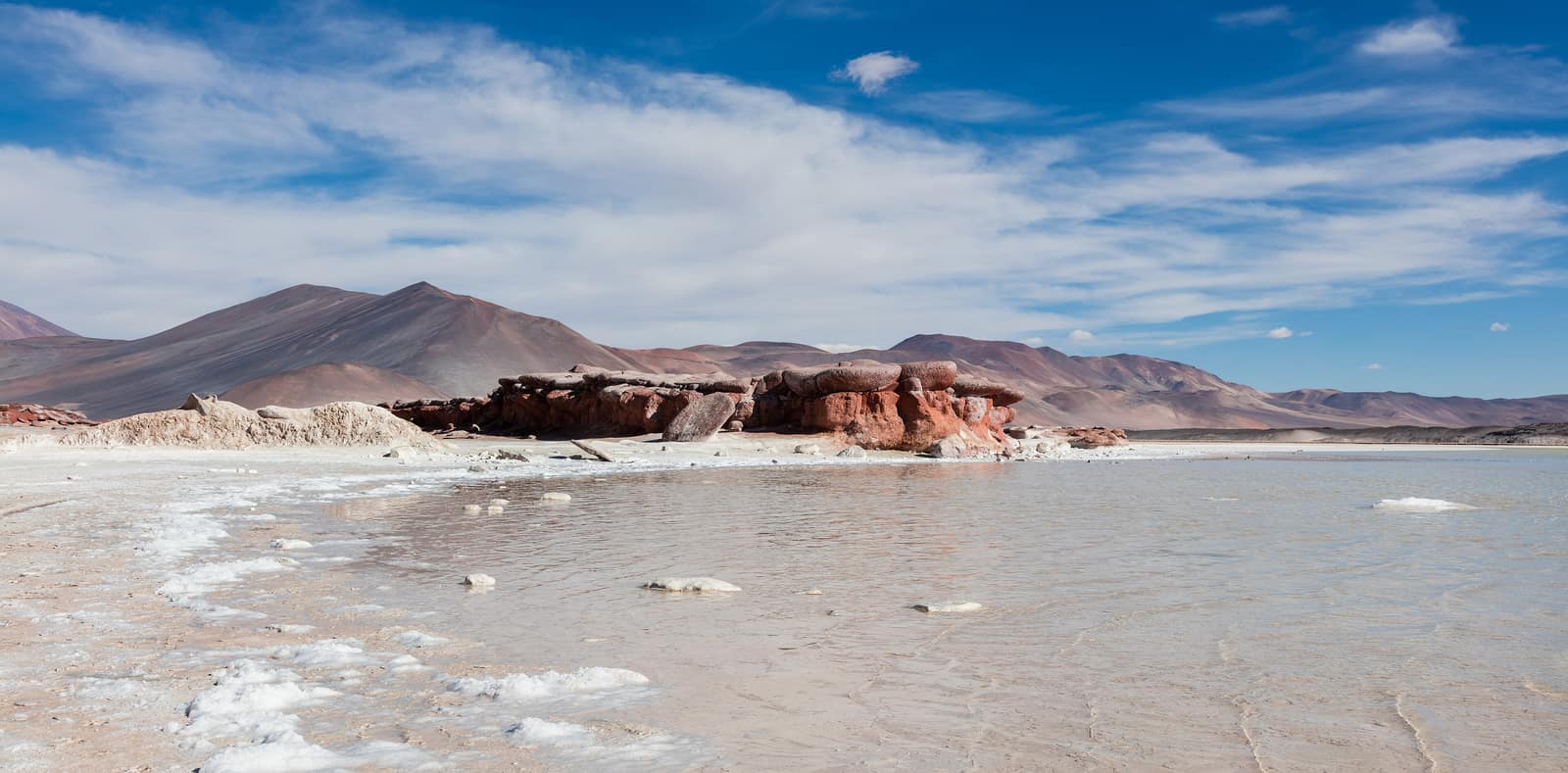
Salt flats crack underfoot while volcanoes hold the horizon. After dark, the driest sky on Earth opens into a field of unbroken stars.
- Duration
- 9 days
- Effort
- Moderate
- Window
- Year-round
$6,800–$9,800
Detail →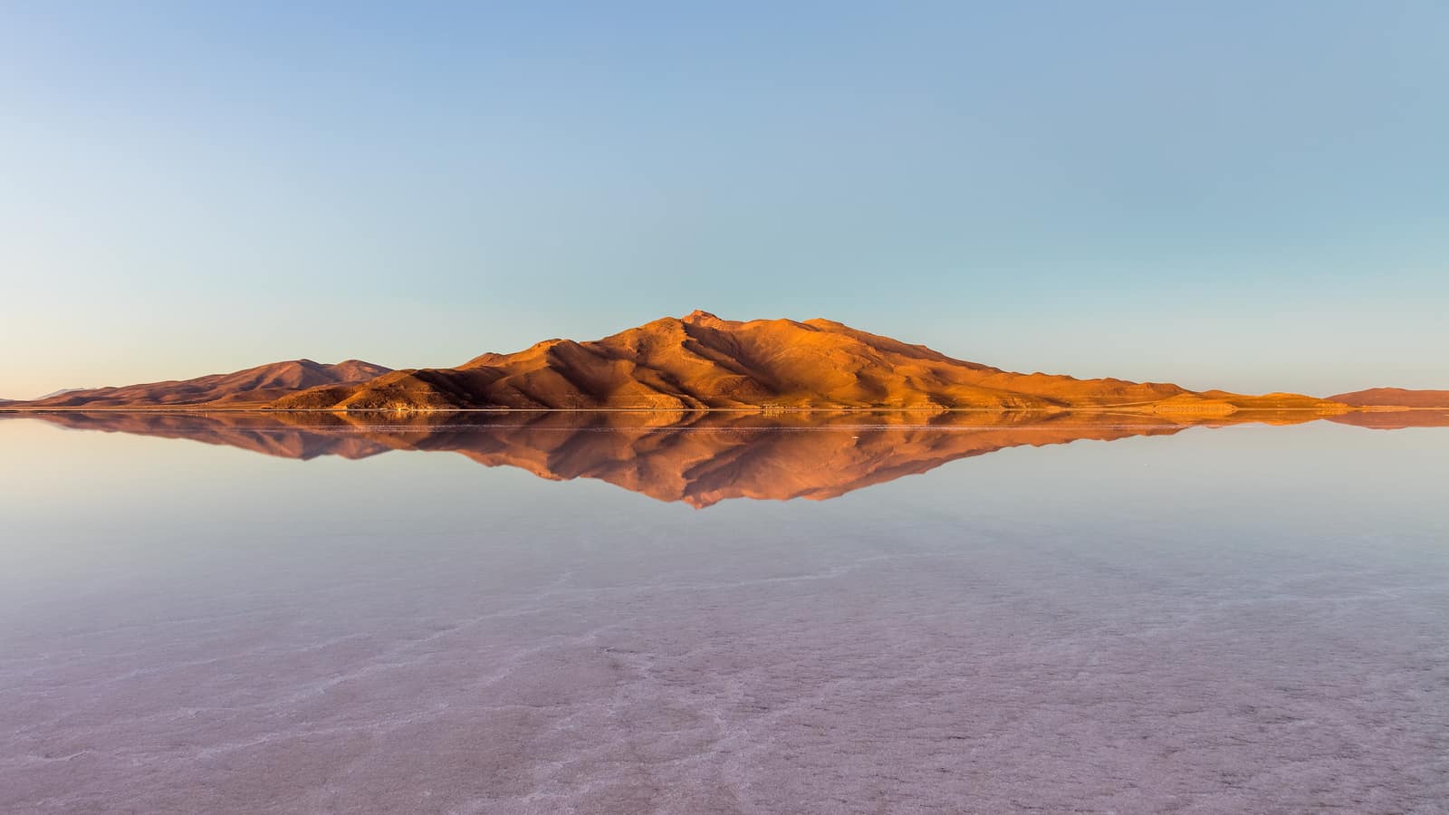
Bolivia
Uyuni Salt Sky Crossing
Salar de Uyuni & Sud Lípez
In the dry months the hexagonal salt crust runs to the horizon; in the rains a thin sheet of water turns the salar into sky. Colored lagoons hold flamingos; nights freeze hard under thin air.
- Duration
- 8 days
- Effort
- Moderate
- Window
- May–Oct (dry) · Jan–Mar (mirror)
$5,500–$8,500
Detail →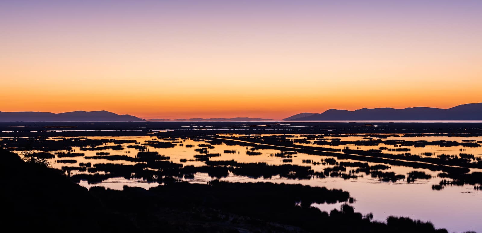
Bolivia
Lake Titicaca Island Circuit
Lago Titicaca & Isla del Sol (Bolivia)
Inca paths ring the islands of the highest lake that working boats still cross. Thin light turns the water silver; a few reed craft hold on among the fibreglass.
- Duration
- 6 days
- Effort
- Easy
- Window
- Apr–Oct
$4,500–$6,800
Detail →From the ground
Frames from this route family and country — not a studio set, and not a promise of identical weather.