Lake Titicaca Island Circuit
Lago Titicaca & Isla del Sol (Bolivia)
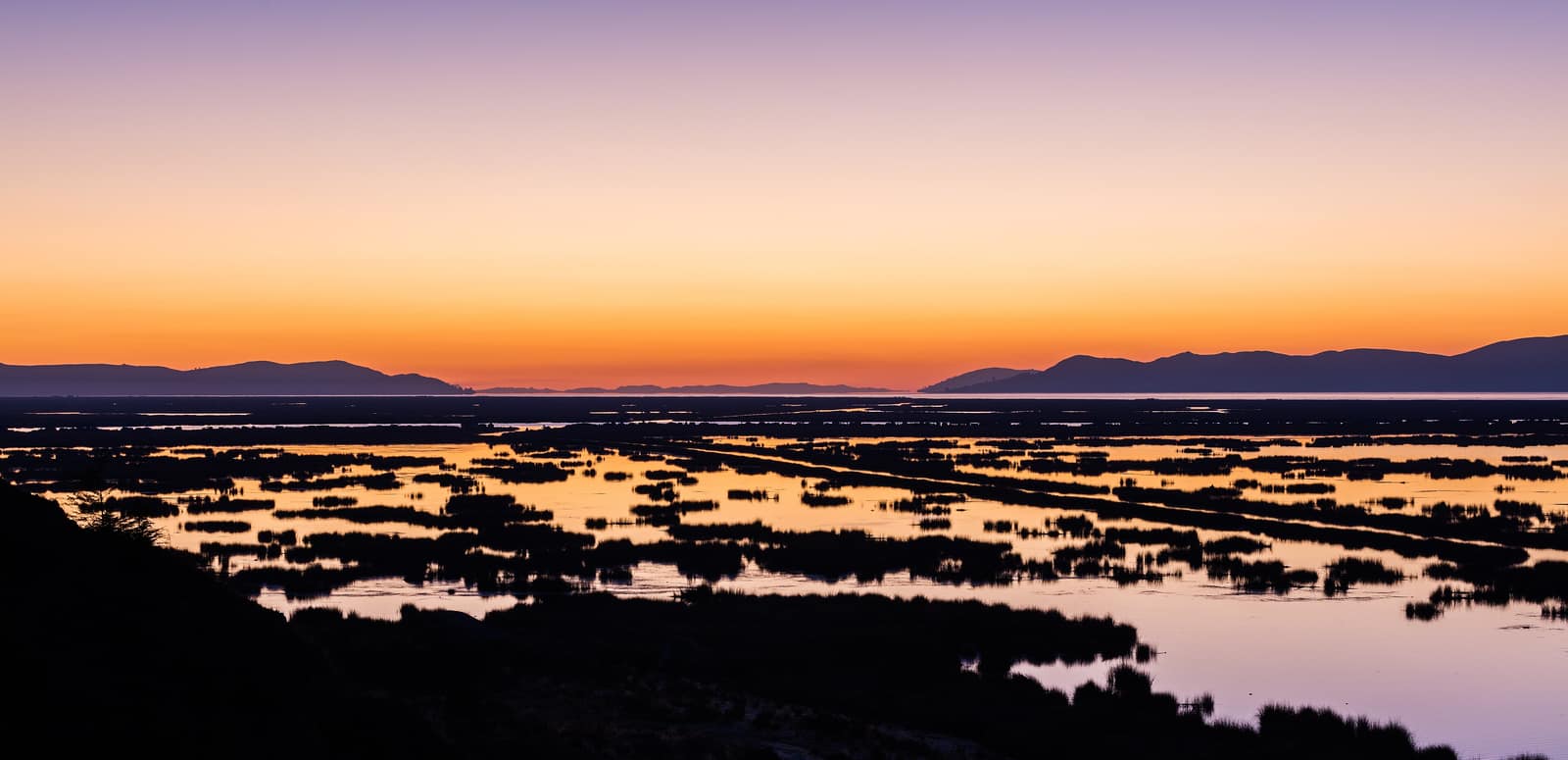
Inca paths ring the islands of the highest lake that working boats still cross. Thin light turns the water silver; a few reed craft hold on among the fibreglass.
- Days
- 6
- Effort
- Easy–Moderate
- Window
- Apr–Oct
- From
- $4,500
The ground
Titicaca sits at 3,812 m, and that single number governs the whole trip. The walking is genuinely easy, village paths, an island ridge, stone stairs, but you are doing it higher than most of the Alps, and people routinely underrate it. We rate it Easy–Moderate for exactly that reason.
Isla del Sol matters in Andean cosmology as the birthplace of the sun in Inca tradition, and the Chincana ruins and the Escalera del Inca are still walked by the island's Aymara communities as working paths. The north and south of the island have had access disputes between communities, which sometimes closes the ridge traverse, we check before we route it.
On the reed-boat and Uros side of things: those communities are real, they live on floating islands, and they also perform a version of themselves for large tour boats. We visit the Bolivian side by arrangement, in small numbers, and we would rather do less of it honestly than more of it as theatre.
Lago Titicaca, Isla del Sol and Isla de la Luna, Bolivian side. Aymara communities hold and manage the island routes. Working elevation runs Lake surface 3,812 m · Isla del Sol ridge to 4,075 m. That profile shapes sleep, pace, and how early the group needs to move. The published window: April through October, dry and clear. June and July are coldest at night and best for visibility. Within that window, day order still flexes with weather and access.
Isla del Sol's northern sector has been closed at times by community decision. We confirm the current position and route the walk accordingly rather than promise the full traverse. Community access fees are charged separately by each of the island's communities and are included. Private guide and private boat, staying in island lodges and Copacabana. Small-group departures up to ten. This is the operating shape of the trip: private enough to reorder days, constrained enough that permits and local rules still set the ceiling.
Shape of the days
A shape, not a script. Order and pacing move with weather, permits, and how the first days actually go.
Day 1
La Paz to Copacabana: opening
Day 1 sits inside the 1–2 arc titled La Paz to Copacabana. Over the altiplano to the lake, with Tiwanaku on the way, the pre-Inca capital, and the right context for everything that follows. This opening slice sets the logistics and the first read of the ground before the denser days. Field days stay inside the ground already described for Bolivia. Titicaca sits at 3,812 m, and that single number governs the whole trip. Isla del Sol's northern sector has been closed at times by community decision. We confirm the current position and route the walk accordingly rather than promise the full traverse. Private guide and private boat, staying in island lodges and Copacabana. Expect a full field day measured in hours on foot, on the water, or in transit between sectors already named above. Private guiding means we can shorten or reorder, not that the underlying constraints disappear. Isla del Sol matters in Andean cosmology as the birthplace of the sun in Inca tradition, and the Chincana ruins and the Escalera del Inca are still walked by the island's Aymara communities as working paths. The north and south of the island have had access disputes between communities, which sometimes closes the ridge traverse, we check before we route it. Geography stays inside Lago Titicaca, Isla del Sol and Isla de la Luna, Bolivian side. Aymara communities hold and manage the island routes. Season logic we plan against: April through October, dry and clear. June and July are coldest at night and best for visibility. For kit on these days: Layers for fierce sun and near-freezing nights at 3,812 m, plus a windproof for the lake crossings.
Day 2
La Paz to Copacabana: continuation
Day 2 sits inside the 1–2 arc titled La Paz to Copacabana. Over the altiplano to the lake, with Tiwanaku on the way, the pre-Inca capital, and the right context for everything that follows. This closing slice of the block consolidates what the earlier days opened, without inventing a new sector. Field days stay inside the ground already described for Bolivia. Isla del Sol matters in Andean cosmology as the birthplace of the sun in Inca tradition, and the Chincana ruins and the Escalera del Inca are still walked by the island's Aymara communities as working paths. Community access fees are charged separately by each of the island's communities and are included. Private guide and private boat, staying in island lodges and Copacabana. Expect a full field day measured in hours on foot, on the water, or in transit between sectors already named above. Private guiding means we can shorten or reorder, not that the underlying constraints disappear. The north and south of the island have had access disputes between communities, which sometimes closes the ridge traverse, we check before we route it. Geography stays inside Lago Titicaca, Isla del Sol and Isla de la Luna, Bolivian side. Aymara communities hold and manage the island routes. Season logic we plan against: April through October, dry and clear. June and July are coldest at night and best for visibility. For kit on these days: Layers for fierce sun and near-freezing nights at 3,812 m, plus a windproof for the lake crossings.
Day 3
Isla del Sol: opening
Day 3 sits inside the 3–4 arc titled Isla del Sol. Boat to the island, the Escalera del Inca and Yumani terraces, and the Chincana complex at the north end if the community route is open. This opening slice sets the logistics and the first read of the ground before the denser days. Field days stay inside the ground already described for Bolivia. On the reed-boat and Uros side of things: those communities are real, they live on floating islands, and they also perform a version of themselves for large tour boats. Isla del Sol's northern sector has been closed at times by community decision. We confirm the current position and route the walk accordingly rather than promise the full traverse. Private guide and private boat, staying in island lodges and Copacabana. Expect a full field day measured in hours on foot, on the water, or in transit between sectors already named above. Private guiding means we can shorten or reorder, not that the underlying constraints disappear. Titicaca sits at 3,812 m, and that single number governs the whole trip. The walking is genuinely easy, village paths, an island ridge, stone stairs, but you are doing it higher than most of the Alps, and people routinely underrate it. We rate it Easy–Moderate for exactly that reason. Geography stays inside Lago Titicaca, Isla del Sol and Isla de la Luna, Bolivian side. Aymara communities hold and manage the island routes. Season logic we plan against: April through October, dry and clear. June and July are coldest at night and best for visibility. For kit on these days: Layers for fierce sun and near-freezing nights at 3,812.
Day 4
Isla del Sol: continuation
Day 4 sits inside the 3–4 arc titled Isla del Sol. Boat to the island, the Escalera del Inca and Yumani terraces, and the Chincana complex at the north end if the community route is open. This closing slice of the block consolidates what the earlier days opened, without inventing a new sector. Field days stay inside the ground already described for Bolivia. Titicaca sits at 3,812 m, and that single number governs the whole trip. Community access fees are charged separately by each of the island's communities and are included. Private guide and private boat, staying in island lodges and Copacabana. Expect a full field day measured in hours on foot, on the water, or in transit between sectors already named above. Private guiding means we can shorten or reorder, not that the underlying constraints disappear. The walking is genuinely easy, village paths, an island ridge, stone stairs, but you are doing it higher than most of the Alps, and people routinely underrate it. We rate it Easy–Moderate for exactly that reason. Geography stays inside Lago Titicaca, Isla del Sol and Isla de la Luna, Bolivian side. Aymara communities hold and manage the island routes. Season logic we plan against: April through October, dry and clear. June and July are coldest at night and best for visibility. For kit on these days: Layers for fierce sun and near-freezing nights at 3,812 m, plus a windproof for the lake crossings.
Day 5
Isla de la Luna and the lake
Day 5 sits inside the 5 arc titled Isla de la Luna and the lake. The Iñak Uyu temple complex, and time with Aymara families on the lakeshore on their terms. The day order inside this block can shift when weather or access forces a rewrite. Field days stay inside the ground already described for Bolivia. Isla del Sol matters in Andean cosmology as the birthplace of the sun in Inca tradition, and the Chincana ruins and the Escalera del Inca are still walked by the island's Aymara communities as working paths. Isla del Sol's northern sector has been closed at times by community decision. We confirm the current position and route the walk accordingly rather than promise the full traverse. Private guide and private boat, staying in island lodges and Copacabana. Expect a full field day measured in hours on foot, on the water, or in transit between sectors already named above. Private guiding means we can shorten or reorder, not that the underlying constraints disappear. On the reed-boat and Uros side of things: those communities are real, they live on floating islands, and they also perform a version of themselves for large tour boats. We visit the Bolivian side by arrangement, in small numbers, and we would rather do less of it honestly than more of it as theatre. Geography stays inside Lago Titicaca, Isla del Sol and Isla de la Luna, Bolivian side. Aymara communities hold and manage the island routes. Season logic we plan against: April through October, dry and clear. June and July are coldest at night and best for visibility. For kit on these days: Layers for fierce sun.
Day 6
Exit
Day 6 sits inside the 6 arc titled Exit. Return across the altiplano to La Paz. The day order inside this block can shift when weather or access forces a rewrite. Exit logistics follow the same transfer pattern already built into the programme. Isla del Sol's northern sector has been closed at times by community decision. We confirm the current position and route the walk accordingly rather than promise the full traverse. International connections should leave buffer after the last field day; late-evening flights only when the ground day is genuinely short. The last day is deliberately lighter where the catalogue allows it, so extraction does not collide with a hard physical ask. Titicaca sits at 3,812 m, and that single number governs the whole trip. The walking is genuinely easy, village paths, an island ridge, stone stairs, but you are doing it higher than most of the Alps, and people routinely underrate it. We rate it Easy–Moderate for exactly that reason. Geography stays inside Lago Titicaca, Isla del Sol and Isla de la Luna, Bolivian side. Aymara communities hold and manage the island routes. Season logic we plan against: April through October, dry and clear. June and July are coldest at night and best for visibility. Packing still matters here: Layers for fierce sun and near-freezing nights at 3,812 m, plus a windproof for the lake crossings.
Conditions
Thin, bright, and cold. Days 14–19 °C with fierce UV, nights near or below freezing from May to August. April to October is dry. The lake moderates temperature slightly but the wind off it does not.
Fitness bar
Easy walking, moderate because of altitude. Short days with stone stairs and one ridge walk. Altitude sickness is common at 3,800 m and we build in an acclimatisation night and carry oxygen. Altitude medication is a conversation with your own doctor; we do not prescribe.
Best months
April through October, dry and clear. June and July are coldest at night and best for visibility.
Private or small group
Private guide and private boat, staying in island lodges and Copacabana. Small-group departures up to ten.
What to bring
Layers for fierce sun and near-freezing nights at 3,812 m, plus a windproof for the lake crossings. Walking shoes for stone stairs. Sun protection here is not cosmetic; the UV at this altitude burns fast.
Deserts, Salt & Tablelands
Access and permits
The constraints that actually decide whether a date is possible.
- Isla del Sol's northern sector has been closed at times by community decision. We confirm the current position and route the walk accordingly rather than promise the full traverse.
- Community access fees are charged separately by each of the island's communities and are included.
Included
- Private boat for all lake crossings
- Aymara community access fees on Isla del Sol and Isla de la Luna
- Island lodge and Copacabana accommodation, all meals
- Tiwanaku entry with a specialist guide, oxygen in the vehicle
- Daily field briefings with the lead guide before departure
Not included
- The Peruvian side of the lake unless added
- International flights
- Large-boat Uros island tours, which we do not use
- Personal insurance, including medical and evacuation cover
- Tips for guides and lodge staff, which remain optional and separate
What the price reflects
$4,500–6,800 for six days covers a private boat, private guiding, Tiwanaku with a specialist, the better island lodging, and altitude protocols. Public launches and shared tours from Copacabana cost very little by comparison. What moves a quote inside that picture is party size, season, and the lodge or camp class actually available for your dates. Private guide and private boat, staying in island lodges and Copacabana. Small-group departures up to ten. On the included side, the band already assumes items such as: Private boat for all lake crossings; Aymara community access fees on Isla del Sol and Isla de la Luna; Island lodge and Copacabana accommodation, all meals. Still outside the band unless we write them in: The Peruvian side of the lake unless added; International flights; Large-boat Uros island tours, which we do not use. Nothing is confirmed until it is confirmed in writing.
- Party size
- Per-person cost usually falls as the private team is shared across more guests, up to the format limit implied by the guiding and lodge picture. Private guide and private boat, staying in island lodges and Copacabana.
- Season and dates
- Window on the card: Apr–Oct. Planning note: April through October, dry and clear. June and July are coldest at night and best for visibility. Peak dates inside that window tighten lodge and permit availability, which is what usually pushes a quote toward the top of a published band.
- Lodge or camp class
- Accommodation in the band reflects: Island lodge and Copacabana accommodation, all meals. Moving up or down a class, or shifting to a scarcer property, changes the quote without changing the route.
- Internal transport
- Transfers and regional legs follow the trip design. Watch for: International flights. Charter or peak-season domestic seats, where they apply, sit outside a simple road transfer.
- Permits and access
- Access cost tracks what the ground already requires. Tiwanaku entry with a specialist guide, oxygen in the vehicle We do not invent fee figures beyond what the catalogue already states.
- Outside the band
- Not assumed unless written in: The Peruvian side of the lake unless added; International flights; Large-boat Uros island tours, which we do not use.
Bands are per person sharing and move with party size, season, and lodge choice. Nothing is confirmed until it is confirmed in writing. How we price.
Where this is
Lago Titicaca, Isla del Sol and Isla de la Luna, Bolivian side. Aymara communities hold and manage the island routes.
Elevation: Lake surface 3,812 m · Isla del Sol ridge to 4,075 m. Season as published: Apr–Oct. Difficulty as assessed: Easy–Moderate (altitude).
What we checked
Seasons, altitudes, permits, and caps on this page were checked against park authorities, monitoring agencies, and operators on the ground. Where a fact changes with the year, we say so rather than round it off.
Near this
Same terrain, different week
Chile
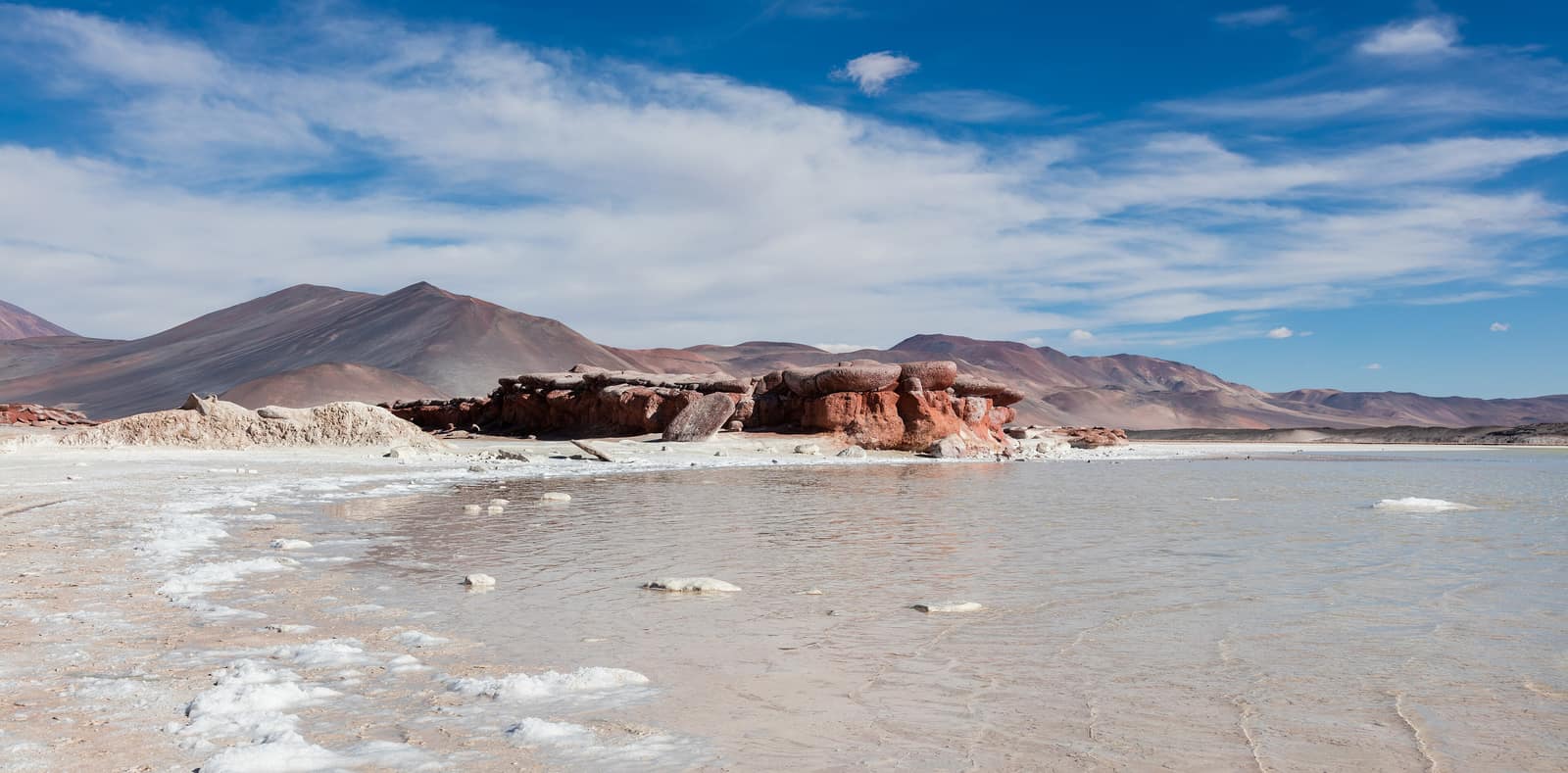
Atacama Sky & Salt
San Pedro de Atacama & Altiplano
Salt flats crack underfoot while volcanoes hold the horizon. After dark, the driest sky on Earth opens into a field of unbroken stars.
- Duration
- 9 days
- Effort
- Moderate
- Window
- Year-round
$6,800–$9,800
Detail →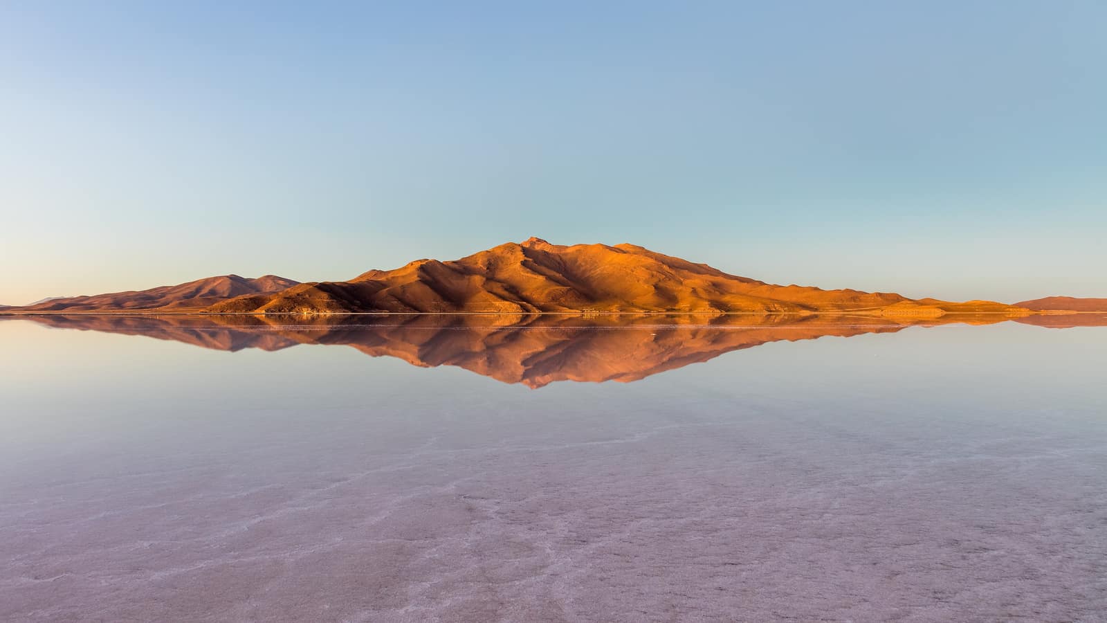
Bolivia
Uyuni Salt Sky Crossing
Salar de Uyuni & Sud Lípez
In the dry months the hexagonal salt crust runs to the horizon; in the rains a thin sheet of water turns the salar into sky. Colored lagoons hold flamingos; nights freeze hard under thin air.
- Duration
- 8 days
- Effort
- Moderate
- Window
- May–Oct (dry) · Jan–Mar (mirror)
$5,500–$8,500
Detail →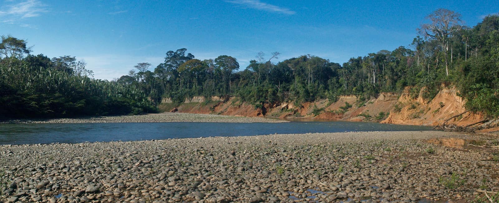
Bolivia
Madidi Amazon Traverse
Madidi National Park
From Andean cloud forest to lowland Amazon in one protected corridor. Jaguar country; river camps listen for night hunters.
- Duration
- 9 days
- Effort
- Challenging
- Window
- May–Oct
$7,200–$10,500
Detail →From the ground
Frames from this route family and country — not a studio set, and not a promise of identical weather.